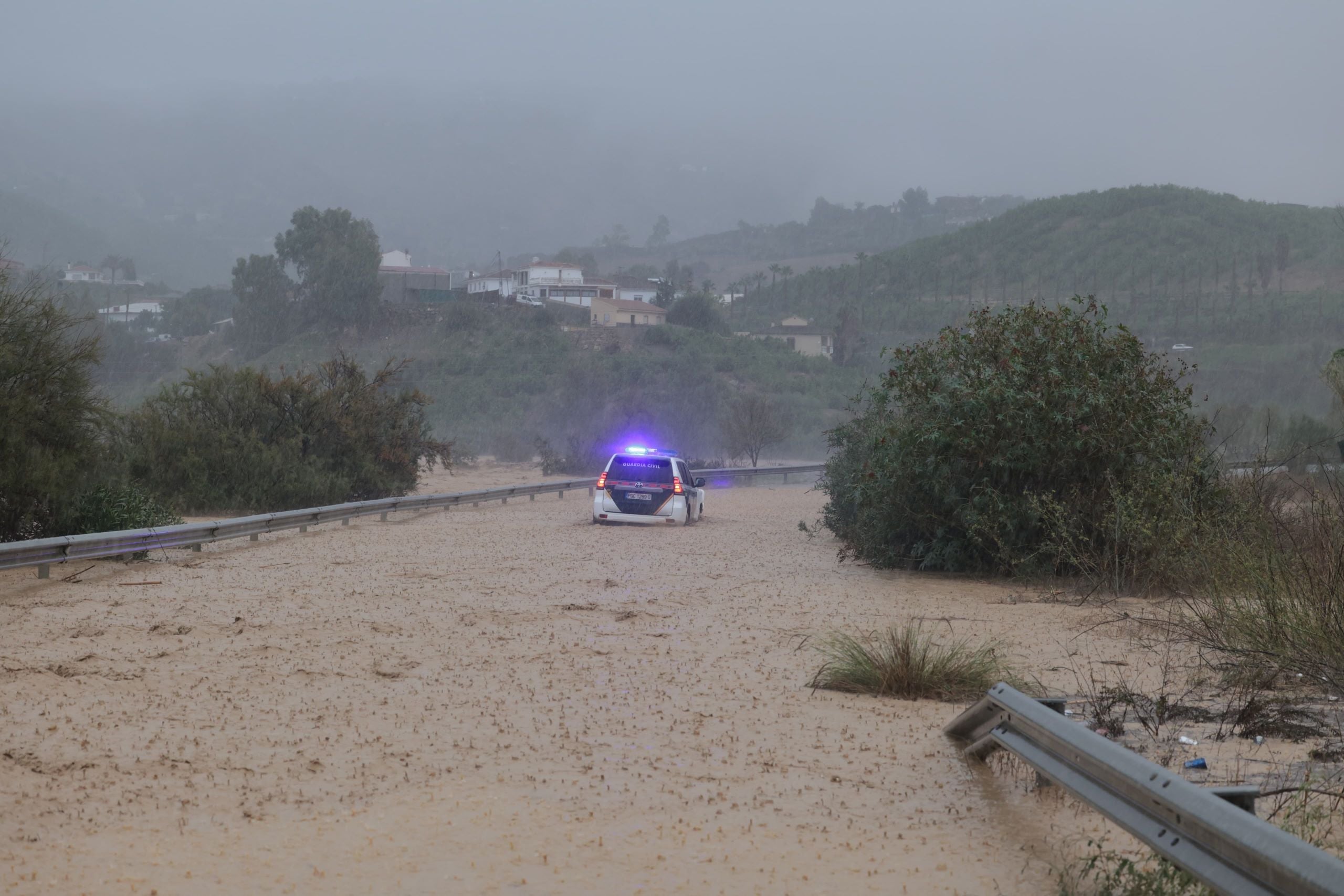
Weather warnings for heavy rain continue in inland areas of Malaga province
In the case of the Antequera area, Spain's state weather agency has extended the amber warning until 8pm
Tuesday is turning out to be a complicated day in Malaga province, with a soundtrack of thunder from early morning and heavy downpours of rain and hail that kept many people awake all night.
In just one hour, between 4am and 5am in the morning, more than 20mm of rain fell in the city. And it goes on and on.
Spain's national weather agency activated a the highest-level red risk weather warning until 3pm (previously it was until 12noon) for the city, western Costa del Sol and Valle del Guadalhorce areas. Aemet expects accumulated rainfall of up to 30mm in one hour and 100mm in 12 hours. The forecaster has also activated a warning - yellow - for tomorrow, Wednesday, between midnight and 8am, with the possibility of up to 15mm in an hour.
The showers will continue to be accompanied by possible thunderstorms. In fact, the whole province has been under a yellow warning for thunderstorms until midday. In the case of Axarquia, the storm warnings and heavy rain last until 6pm. In this area, Aemet forecasts accumulated rainfall of up to 60mm in 12 hours. In its update, the state agency also extends the yellow warning (Ronda) and amber warning in Antequera until 8pm hours this Tuesday.
October will therefore end on a wet note. The 'Dana' (isolated high level depression) and storms will leave widespread rainfall in Spain throughout this week. Andalucía will not escape this scenario. "The meteorological instability present in the region over the last few days will continue to be in force until Friday, crossing the region from east to west and leaving heavy showers in its wake," according to Aemet. Therefore, as explained by the regional delegate for the agency, Juan de Dios del Pino, the effects of this Dana will mutate into a cold air squall, "which will foreseeably subside at the weekend", he pointed out.

