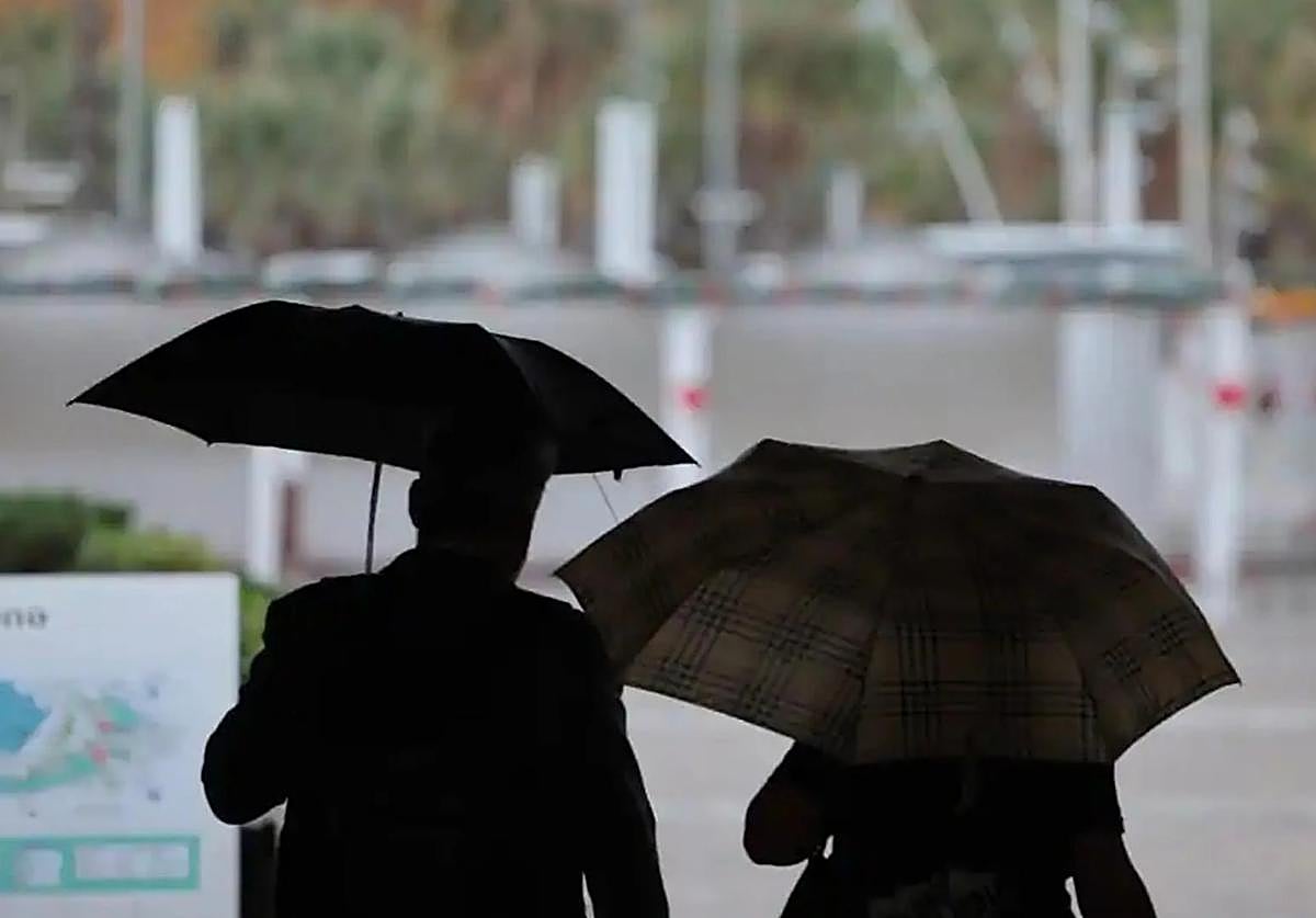
Change of weather in south of Spain with storms, heavy rain and deposits of mud on the horizon
State weather agency Aemet has already activated alerts in three provinces of the Andalucía region on Thursday
Unstable weather is in sight for most of the Spanish mainland. An Atlantic front will approach the northwest of the country this Wednesday 28 August on a day in which Cordoba, Cáceres and the Vegas and west areas of the Madrid region will be on high temperature alert, according to the forecast of Spain's state weather agency (Aemet), for maximum temperatures of around 38C.
However, for Thursday, Aemet has already activated yellow weather warnings in Andalucía for storms and locally heavy showers in the region where a significant drop in maximum temperatures is expected in the interior. The warnings affect the provinces of Cordoba (Sierra and Pedroches, countryside and subbetica Cordoba) and Cadiz (Strait and Grazalema),with a risk of storms and rainfall accumulated in an hour of 15 mm. Meanwhile, in Almeria province (Poniente, city and Costa), the warning is for coastal phenomena, due to north-westerly winds with gusts of up to 70 kilometres per hour.
The forecast for Andalucía highlights that locally heavy showers are not ruled out in the western half of the region, although it points to the opening of clearings during the afternoon, with intervals of medium and high clouds. The forecast also predicts Sahara desert "dust in suspension during the first half of the day, with the possibility of leaving mud deposits". As for temperatures, little change is expected on the coasts and a decrease inland, with a notable drop in the maximums.
Will it rain in Malaga and along the Costa del Sol?
What will happen in the province of Malaga is still unknown. According to José Luis Escudero, head of the SUR blog 'Tormentas y rayos' (storms and lightning. "We will have to wait a few hours to see where the weather trough forms to see if it finally affects Malaga to a greater or lesser extent." According to Escudero, the accumulated rainfall reflected by the different weather models consulted do not coincide: "Everything will depend on where the line of instability forms", he said. However, "if this rainfall does occur, it will be during the early part of Thursday morning as from midday the probability will decrease", he pointed out.
The weather in Spain
As for the national forecast, an Atlantic trough is expected to be located to the west of the Iberian Peninsula, causing abundant medium and high cloudiness that will move from southwest to northeast, "with the probability of showers and occasional thunderstorms that will affect large areas". "With a wide margin of uncertainty, they may be locally heavy and with hail in western Andalucía, areas of the southern plateau, large areas of the interior of the northern half and eastern Cantabrian. They may be locally persistent in central and inland north-eastern areas. In a weaker and more scattered form, they will affect other areas, except for the north of Galicia, where cloudy skies and rainfall are expected, and except for the eastern Mediterranean area, where high clouds are expected", highlighted Aemet on its website.

