Weather
Aemet warns of mass of cold air that will bring snow, rain and plummeting temperatures to these parts of Spain
Following the passage of the latest storm, the remnants of former-hurricane Leslie, the state weather agency is warning of a sharp drop in temperatures in many areas

Madrid
The remains of former hurricane Leslie landed in Spain on Tuesday leaving a radical weather change marked by «wet winds and heavy rain», especially in the west of the Spanish mainland. Although its effects over Spain have not lasted long, the instability will remain for the next few hours, when a cold air mass is also expected to arrive and temperatures will plunge.
🧵Los restos del antiguo huracán Leslie llegan como pequeña borrasca a la Península esta tarde de martes.
— AEMET (@AEMET_Esp) October 15, 2024
Inyectará vientos húmedos y ayudará a que las lluvias sean abundantes en el oeste peninsular. pic.twitter.com/Nz54cjPV4t
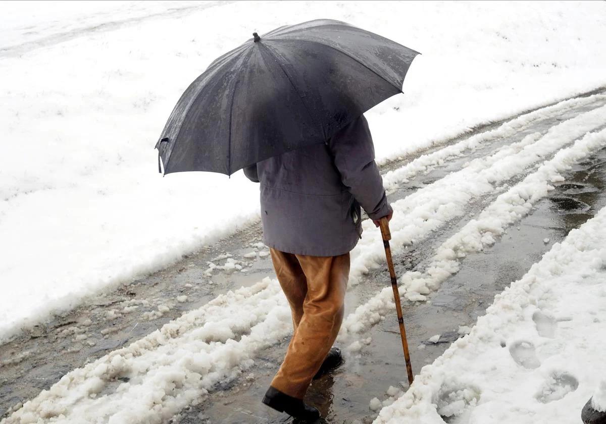
This has been announced by the country's state weather agency (Aemet), which expects an intense drop in temperatures from today (Wednesday) onwards, which could lead to minimum temperatures below 10C in practically the whole country. In some places there could even be frosts and snowfalls.
A cold air mass arrives in Spain and temperatures are set to plummet.
This Wednesday, once the former-hurricane Leslie storm has moved away, a cold air mass will reach Spain, imposing a northerly flow that will bring rain to many regions. Both minimum and maximum temperatures will drop throughout today and Thursday in most of the country, where values will be somewhat below normal for this time of the year.
The area most affected by these temperature drops will once again be the northern third of the Spanish mainland, where this air mass will settle for a few days. In the eastern Cantabrian, Picos de Europa, north of the Iberian, east of Castilla y León, the Madrid mountains and the Béticas will have up to 10C less than on previous days, according to eltiempo.es experts. On Friday this cold mass could also move to other areas, such as the north of Aragon, Catalonia, Balearic Islands and the Mediterranean.
🌀 Tras el paso de #Leslie nos tocará prestar atención a las temperaturas.
— Meteored | tiempo.com (@MeteoredES) October 15, 2024
🌡️🔻 Una masa de aire frío desplomará el jueves los termómetros. En la mitad norte sacarán el abrigo y se nos pondrán los dientes largos con la nieve en Pirineos. ❄️
👕 En el litoral mediterráneo,… pic.twitter.com/XyuTxW3eQz
Both today and Thursday, maximum temperatures will remain below 20C, including inland areas of the Spanish mainland, where they could fall below 15 degrees. In addition, minimum temperatures could fall below 5C in inland northern areas, the province of Burgos and some mountainous areas.
Only the Mediterranean areas will be spared from these intense drops in temperatures, where during both days it could be well above 25C. From the weekend onwards, values are expected to rise again.
The areas of Spain where it is going to rain and snow this week
With the disappearance of the remnants of the former hurricane Leslie, which arrived this Tuesday as a small storm to Spain, we will not say goodbye to instability. In addition to the drop in temperatures expected from Wednesday, there will also be « a deep Atlantic squall to the west of Ireland and its associated fronts«, Aemet announced in a recent communiqué.
Ya el miércoles por la mañana, Leslie habrá desaparecido, y las lluvias vendrán de la mano de una profunda borrasca atlántica situada al oeste de Irlanda y sus frentes asociados.
— AEMET (@AEMET_Esp) October 15, 2024
Situación meteorológica otoñal, con lluvias abundantes y avisos en vigor. Mantente informado. pic.twitter.com/vJooa1Kzqb
During this period, we will have an autumnal weather situation, which will leave «heavy rains and warnings in force» in some regions of the country. This unstable weather will continue both on Thursday and Friday in the Peninsula, and may be heavy in Extremadura, western Andalusia, the area around the Central System and the Pyrenees. The Levant and the Balearic Islands, meanwhile, will be spared the heaviest rainfall of this episode.
The agency spokesperson also said that the drop in temperatures could also bring some frost and light snowfall to the Pyrenees, as happened last Tuesday in Granada's Sierra Nevada: «Temperatures will drop especially on Thursday, when it could snow in the mountains of the northern half of the country, although we do not expect large accumulations of snow,« explained Rubén del Campo.