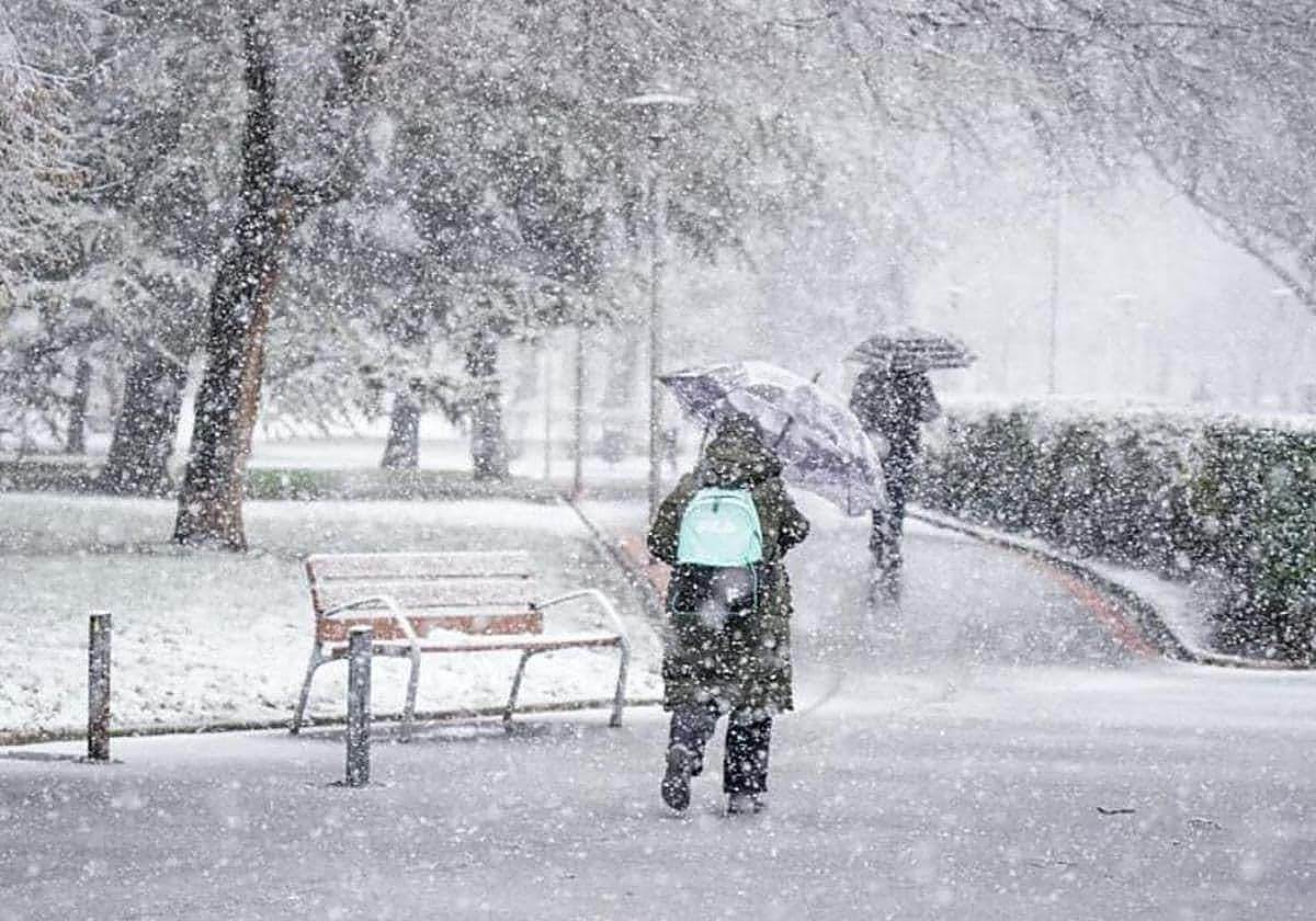
Aemet warns of arrival of cold polar air to Spain: this is where frost and snow is forecast
The entry of a mass of cold air, accompanied by an Atlantic front, will bring a radical drop in temperatures to some parts of the country, according to the state weather agency
María Albert
Madrid
Wednesday, 11 September 2024, 18:18
An abrupt change of weather in Spain is on the horizon. After a few weeks marked by rain, we are preparing to welcome the cold autumn in the coming hours with the arrival of a polar cold air mass, accompanied by a front. According to state weather agency (Aemet), this will cause a dramatic drop in temperatures, bringing the first vestiges of the new season and bidding farewell to summer, at least for the time being.
From this Wednesday onwards, this "unusually cold air mass for the time of year" will leave thermometers with values below normal for the season and rainfall in many areas of the country, especially in the far north, the Mediterranean coast and the Balearics. We will also see frost in some areas of the northern peninsular and in some parts of the peninsula we could even see the first snowfalls of the season, although they are expected to be weak.
El jueves llegará a nuestro país una masa de aire inusualmente fría para la época del año. Se notará sobre todo en el norte peninsular y Baleares.
— AEMET (@AEMET_Esp) September 9, 2024
Se retirará el sábado y, después, predominarán temperaturas más altas de lo normal, especialmente en el oeste de la Península. pic.twitter.com/qE2XROEeaD
Cold polar air arrives in Spain
Aemet has warned that "on Thursday an unusually cold air mass for the time of year will arrive in Spain", which will be especially noticeable "in the north of the mainland and the Balearic Islands". It is expected that, from this Wednesday and especially on Thursday, temperatures will start to drop, leaving very autumnal days and highs below 20C in many areas of Spain.
They will be accompanied by showers due to the entry of an Atlantic front, which will affect the far north, the Mediterranean coast and the Balearic Islands. This ran, which will be less than in previous weeks, could continue in these areas on Thursday and Friday, also favouring some snowfalls on the Spanish mainland.
Temperatures will be below normal for the season, and in some provincial capitals they will be up to 10C lower. In cities such as Vitoria, Burgos and Soria, thermometers will plummet to around 15 degrees on Friday. However, it will continue to be hot in southwest Spain and parts of Andalucía, where temperatures could remain above 30C.
Predicción semanal:
— AEMET (@AEMET_Esp) September 9, 2024
Lunes y martes: lluvias débiles en el extremo norte peninsular.
De miércoles a viernes: chubascos en el extremo norte, litoral mediterráneo y Baleares.
Fin de semana: no se espera lluvia.
🌡️Temperaturas por debajo de lo normal salvo en el suroeste peninsular. pic.twitter.com/SOgz0fO2lJ
The areas of Spain where it will snow this week
Friday will be the coldest day of the week, with values that could be up to 12C below the usual for the season in the mountain systems of the northern half of the country. Minimum temperatures will also drop, and could remain below 10 degrees in large inland areas of the northern half of the mainland. In addition, in the Cantabrian, Pyrenees and northern Iberian areas there could be some frost, according to Aemet.
Meanwhile, some snowfalls are not ruled out, although they will be very light and would only affect the Pyrenees. According to eltiempo.es, these first snowflakes could arrive "both on Thursday and Friday" at altitudes" from 1,700 or 2,000 metres, mainly in the Catalan Pyrenees": "They will be very weak but could add a couple of centimetres of new snow".
🗺️👀 Los ojos puestos en esa masa de aire #polar...
— Meteored | tiempo.com (@MeteoredES) September 9, 2024
🥶 No se trata de una bajada de temperaturas típica de septiembre, si no de una situación anómala. 🗞️ Más con @lafuentedeltpo. https://t.co/OYp5V0cHBT pic.twitter.com/txFhwVnE9F
The situation will change as we move into the weekend, when we will say goodbye to this Atlantic front and also to the rains. According to Aemet, throughout Saturday the autumn cold of the previous days will also disappear and, afterwards, "higher than normal temperatures will prevail, especially in the west of the Spanish mainland", coinciding also with the arrival of the well-known 'veranillo de San Miguel' (often referred to as an Indian summer in English).
