Weather alerts
Intense storm leaves more than 70mm of rain in less than an hour on Costa del Sol
Spain's state weather agency Aemet has issued an amber 'serious risk' warning in Malaga city, along the coast and in the Guadalhorce valley area, due to the risk of flooding this Monday

Málaga
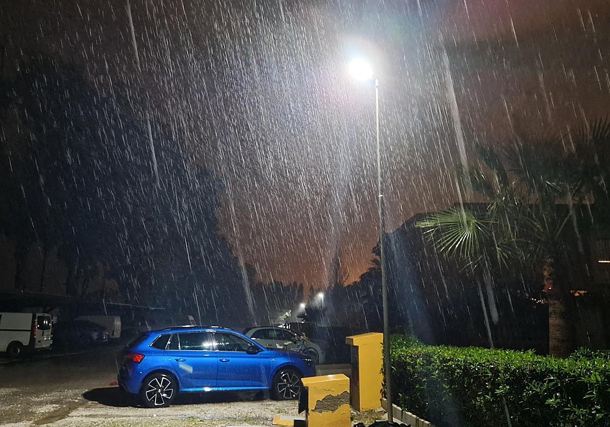
An intense storm marked the dawn of this Monday February 3 for thousands of residents and tourists alike on the Costa del Sol, who received an amber weather warning for intense and persistent rainfall. Spain's state meteorological agency (Aemet) has also forecast small hail and an accumulation of 100mm for the day. The warning will remain active between 7am and 9pm and will concern the Costa del Sol, which includes Malaga city, and the Guadalhorce valley area.
Related news
-
Weather alerts
Rossel Aparicio / Almudena Nogués -
Weather alerts
Ignacio Lillo -
Weather alerts
José Rodríguez Cámara
A storm with its epicentre over Torremolinos has already discharged more than 70mm of rainfall between 5am and 6am this morning, according Meteoclimatic (an unofficial meteorological station). In Benalmádena's Arroyo de la Miel 65mm have also been recorded, according to the same network. Aemet's official weather stations have registered 54mm in Torremolinos. Town mayor Margarita del Cid said that, given the circumstances, it is recommended that classes in the municipality are suspended today. She urged residents to take extreme precautions and avoid unnecessary journeys.
El consejero de @InteriorJunta activa el Plan de Emergencia ante el Riesgo de Inundaciones en Andalucía #PERI, fase de preemergencia, situación operativa 0. Extrema precaución y sigue los #Consejos112 pic.twitter.com/Sgwcob0uT6
— EMA 112 (@E112Andalucia) February 3, 2025
Meanwhile, in Sierra de Mijas 63mm have already been collected, according to the Hidrosur network of the Junta de Andalucía, with 28mm recorded every 60 minutes, between 5am and 7am. The rains will directly impact the area's aquifer, which is one of the main sources of supply for the Costa del Sol.
Significant amounts are also being collected in the Guadalhorce river, in Aljaima and Fahala, 16mm to be precise, which will supply Malaga city's resources and wells.
The bad news is that the storm is mainly localised on the coastal strip, which means that the reservoirs are barely benefitting at the moment, with minor amounts of rainfall being registered with around 5-10mm. This, together with last week's rain, will contribute to a very slight improvement in the reserves. The good news is that the reservoirs have exceeded last week's levels, with 168.6m³, 0.2 more.
Ronda has also received a yellow warning until 9pm, for rainfall that could leave 70mm over 12 hours. According to Aemet, rainfall may also be "occasionally accompanied by thunderstorms and small hail". In the region of Axarquia another yellow warning will be active from 10am onwards, with a forecast for strong east winds of up to 60km/h (force 7) and waves up to 3 metres high on the coast.