Weather
What will the weather be like to welcome in the New Year in Spain?
The latest forecast from Aemet warns of a possible 'Dana' weather system that may affect the south of the country in last few days of 2024
Europa Press
Malaga
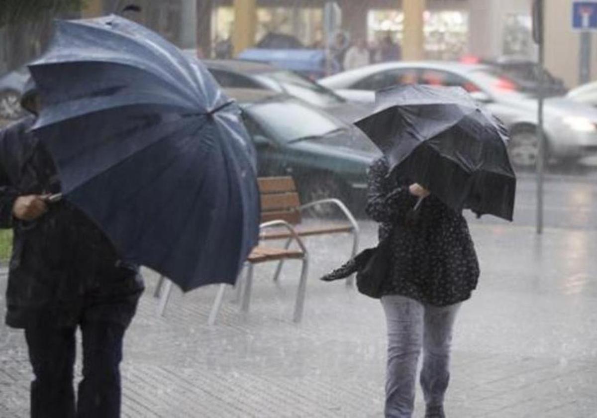
Spain's state meteorological agency (Aemet) has published its weather forecast for the last few days of the year. In general, the weather will be stable in the final stretch of 2024, although with some exceptions. In the Andalucía region in the south of the country, for example, a 'Dana' isolated high-altitude depression, is not ruled out for Monday and Tuesday, although it is expected to have no major consequences.
With regard to the last two days of the year, Aemet spokesperson Rubén del Campo, specified that Monday and Tuesday will be marked by the presence of high pressure, with little rainfall except for some light rain in parts of the Cantabrian Sea and the Mediterranean coast. It cannot be ruled out that a Dana may leave some more intense showers in the area of the Gulf of Cadiz, although Del Campo has assured that in general terms they will not have major consequences.
In turn, fog banks will continue inland during these days and temperatures will not change much. Frosts will continue, especially in the centre and north of the Spanish mainland, and the atmosphere will be very cold in areas where the fog is persistent. In this respect, Del Campo has detailed that the fog could again be freezing and that they could once again form ice and ice sheets. Meanwhile, in the Canary Islands, the 'calima' Sahara desert sand haze will continue.
The Aemet spokesperson said that New Year's Eve will be cold in many parts of the country, although temperatures will be within the normal range for the season. Although from then on uncertainty will increase greatly, fronts could arrive in Galicia and the Cantabrian Sea from the New Year onwards, bringing rainfall there, with temperatures generally tending to rise and less extensive and intense frosts. In addition, winds would blow more strongly over the Peninsula, which would help to dissipate the fog.
Rainfall on the Atlantic slope
In a subsequent communiqué, Aemet explained that the most likely scenario is that frontal systems will arrive from the Atlantic from Wednesday 1 to Friday 3 January, with rainfall that on the 1st would most likely affect the extreme northwest of the Spanish mainland. On the 2nd and 3rd, rainfall would extend to a large part of the Atlantic side of the mainland and could be intense and persistent in Galicia and in the west of the Central System.
Temperatures are likely to start an upward trend. In addition, the wind will tend to turn to the west across the board, with the possibility of strong winds in Galicia and the Cantabrian area. Meanwhile, dry weather could continue in the Canary Islands, with the presence of haze, rising temperatures and wind from the east or southeast.
Stable weather will prevail in most of the country over the next few days, with scarce precipitation but with frosts and fog banks in the interior, according to the Aemet spokesperson, Rubén del Campo. It is possible that both phenomena will occur simultaneously, which will give rise to freezing fog, i.e. fog banks that form in areas with sub-zero temperatures. In these cases, the droplets that make up the fog freeze immediately on impact with the ground or exposed surfaces, which looks like snow but is not. It also generates sheets of ice which can be a hazard on the roads.
Dry December
Del Campo pointed out that this month of December has been very dry and said that the amount of precipitation accumulated in most of the country was not even a quarter of normal between 1 and 22 December. Up to this point in the month, rainfall has only been more abundant than usual in the northern third of the mainland, especially in the eastern Cantabrian region, as well as in parts of the Canary Islands.
During the weekend, the weather will remain anticyclonic and rainfall will be very scarce. In general terms, Del Campo only expects rainfall in the extreme north of the Spanish mainland and the Aemet spokesperson said that there will only be a fewdrops. As far as the thermometers are concerned, they will continue to fall and frosts will increase in intensity and extent. In fact, on Sunday they will affect a large part of the plateau and the moors of the central area. Cities such as Burgos, Palencia and Teruel will drop to -3C and to zero in Madrid.
In large areas of the interior, fog banks will continue, which will be persistent especially in points of the northern plateau. In this respect, Del Campo warned that the fog could be engellant and could give rise to ice patches. The probability of this occurring will be greater on the northern plateau, but it cannot be ruled out in inland Catalonia and eastern Aragon.
In these areas, where fog will be persistent, the atmosphere will be very cold throughout the day and temperatures may not even reach 5C in the central hours of the day. In the rest of the country, temperatures will be somewhat higher, but in general the atmosphere will be typical of this time of year and therefore cold. At the same time, cloudy skies will continue in the Canary Islands due to the 'calima' haze of Sahara desert sand, a phenomenon that not only reduces visibility but also worsens air quality.