Urban planning
Eastern Costa del Sol town gets environmental go ahead to develop on agricultural land
The Junta de Andalucía has approved a report to allow Nerja to modify its PGOU which would allow commercial and industrial development on an area of land near the A-7 motorway
Eugenio Cabezas
Nerja
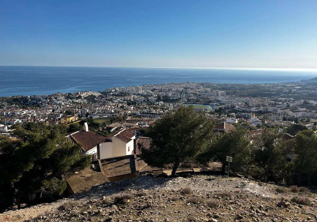
The Junta de Andalucía has approved an environmental study which will allow Nerja town hall on the eastern Costa del Sol the green light to develop almost 169,000 square metres of land near the eastern exit of the A-7 motorway for industrial and commercial use. The land in question, located to the south of the current Castillo Alto industrial estate, is currently recognised as agricultural land of special protection in the current general urban plan (PGOU).
Since 2021 the town hall has been processing a modification of the existing PGOU, which dates from 2000, to include the so-called ‘area of opportunity’, to allow the development of commercial, industrial and leisure facilities, provided for in the local plan for the Axarquía (POTAX), which was approved in 2006 by the regional government.
According to the Junta’s report, of the 168,763 square metres of land, 63,646 metres are to be reserved for productive uses, 16,330 metres for a large commercial retail area, 9,290 metres for public facilities, 22,784 metres for public open areas, which brings the area earmarked for public facilities to 32,074 square metres, and 56,713 square metres for roads.
Excellent opportunity
According to the POTAX documentation, the modification aims to rearrange almost 17 hectares adjoining the old MA-105 and the N-340, between Nerja town centre and the new area proposed for tourist development in El Playazo, “which provides an excellent opportunity for its qualification as a centre for commercial facilities and leisure services”.
According to the document, it is “an area with slopes of less than 10% and an agricultural land use dominated by intensive irrigation”. Its name in the document is Chíllar, like the river in the area, which rises in the Sierra Almijara and flows into El Playazo beach.
The document must now be submitted to an ordinary environmental assessment. The Junta’s assessment of the land is that the area “is scarce in environmental values, due to the development of agricultural activities”. As such the Andalusian regional government stresses “the absence of habitats of community interest, georesources, and endangered or specially protected fauna”.
Protected species
However, the Junta’s sustainability and environment department pointed out in its report that the REDIAM geographic information system includes records of several flora taxa in this area, such as the ‘Cosentinia vellea’, included in the Andalusian list of wild species ‘under special protection’; the ‘Silene germana’ and the ‘Maytenus senegalensis’, both classified as ‘vulnerable’.
For this reason, the Junta stressed the need for the strategic environmental study to ‘include measures to preserve the specimens of these taxa, or any others under special protection, that are found in the area of action’.
The environmental group, the Gabinete de Estudios de la Naturaleza (GENA)-Ecologistas en Acción have stressed that the environmental scope document of this area “obliges the protection of protected plants” which they have already listed in their “objections to the PGOU”.