
Hiking in Malaga
An easy hike through a Malaga province forest is the ideal way to welcome autumn
This undemanding route near El Torcal in Antequera follows a mostly dirt track with short climb on La Alhajuela mountain

Malaga
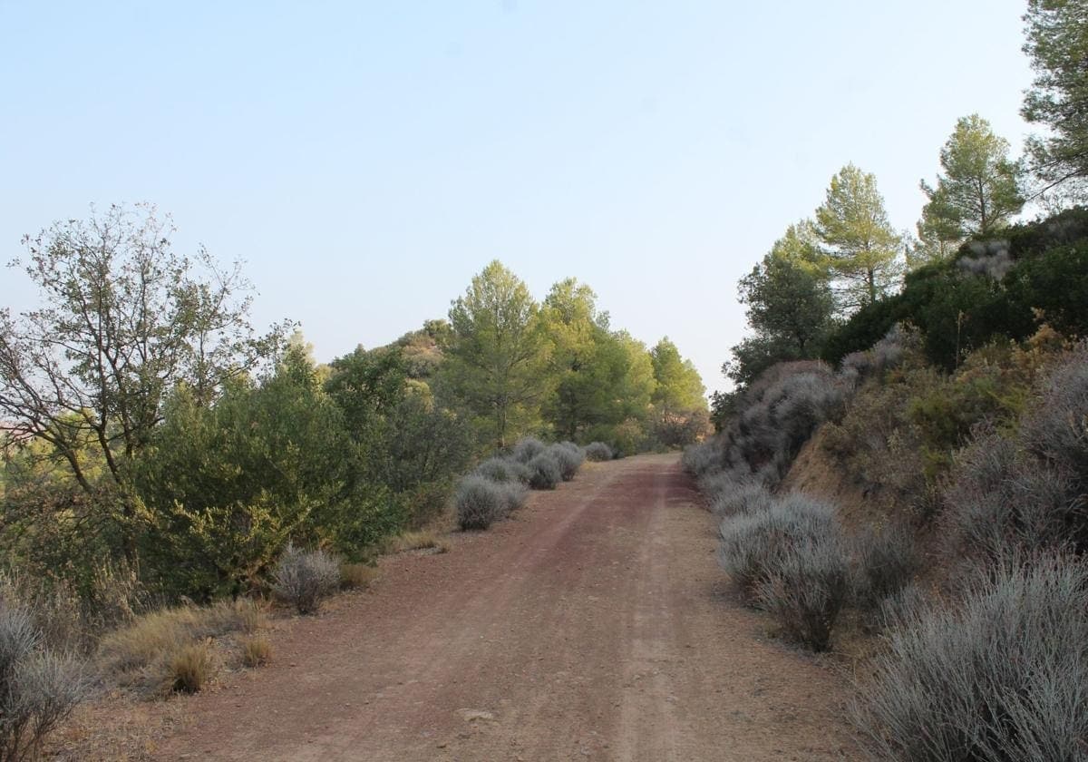
This hiking route is in the shape of an inverted 'U' in a very quiet enclave to the south of the town of Antequera in the north of Malaga province.
-
Route data
District: Vega de Antequera
Municipality: Antequera
Difficulty level: Low. From a physical point of view, this is an undemanding route. On the other hand, it can be somewhat more complex in terms of orientation, as there are few signs along the way. It is advisable to take a map or a route app on your mobile phone, such as Wikiloc. It can also be done by mountain bike.
Type of route: Linear
Approximate duration: 1 hour 10 minutes (one way)
Length: 3.9 kilometres (one way).
Minimum height: 552 metres
Maximum altitude: 633 metres
Nearby places of interest: Torcal de Antequera natural park and the historic town centre of Antequera.
-
How to get to the starting point
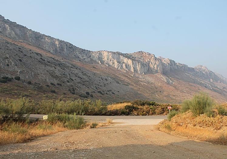
The starting point of this route is on the Salvador Pereña forest road. The best way to get there is on foot from the A-7075 road, which links Antequera with El Torcal. On a sharp bend near the source of the Río de la Villa, between kilometres 48 and 47, there is a place to leave the vehicle at the height of the La Pasarela stream. From there, following a firebreak, you will have to climb up to connect with the stage of the Gran Senda de Málaga which connects Antequera with Villanueva del Rosario. Continue along this section until you reach the start of the Salvador Pereña forest path, which is on the right. This is the starting point of the route.
-
Route description
1From the stone monolith where the name of the Salvador Pereña forest path is engraved, continue along a wide track. At first you will head southeast, but shortly afterwards you will turn northeast, crossing a large pine forest. You will gradually gain altitude, which will give you a nice panoramic view of this large forest to the north of the Torcal de Antequera natural site. This is especially true after passing a firebreak.
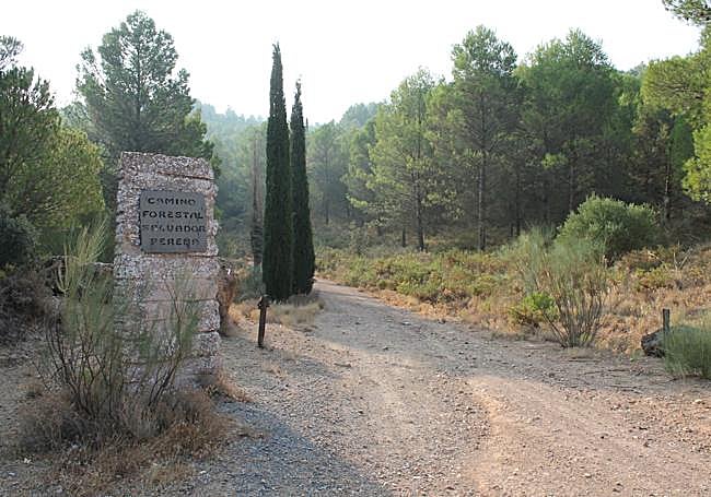
2After the aforementioned firebreak, the track begins to descend and turns southeast and then south again. The path then descends comfortably along a wide dirt track that crosses this splendid pine forest. To do so, you pass by some ruined buildings. There are several sharp bends along this section of the route.
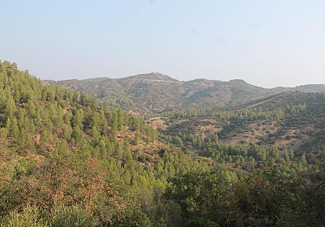
3After about two and a half kilometres from the start, pay close attention to a narrower path where you have to leave the dirt track. This exit is just before crossing the Arroyo Adelfas, after a sharp bend. From this point onwards, the route must be taken along a narrower, slightly ascending path that runs parallel to the La Pasarela stream.
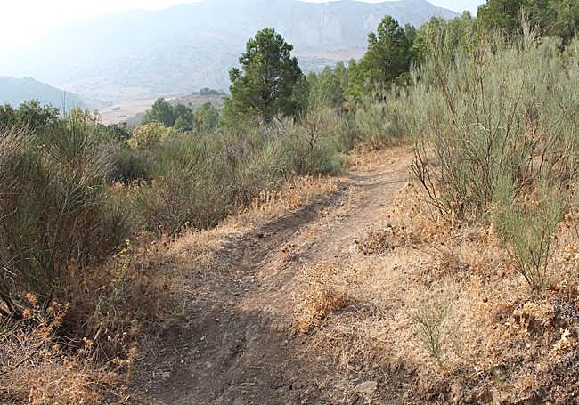
4Near the bed of the Arroyo Pasarela you will walk for just over a kilometre at the foot of a thick pine forest. The path ends right at the place where you would start walking on foot to join the stage of the Gran Senda de Málaga between Antequera and Villanueva del Rosario.
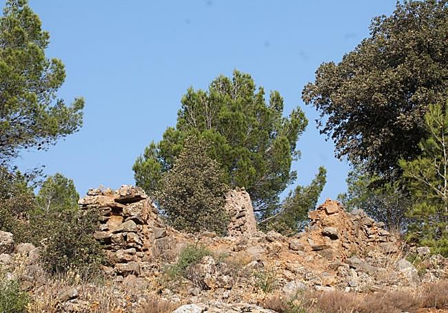
5This route, although it is not approved or signposted, is very intuitive. It is a good one to do at the start the autumn hiking season, as it runs in an area that is shady first thing in the morning.
Flora and fauna
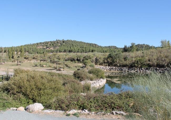
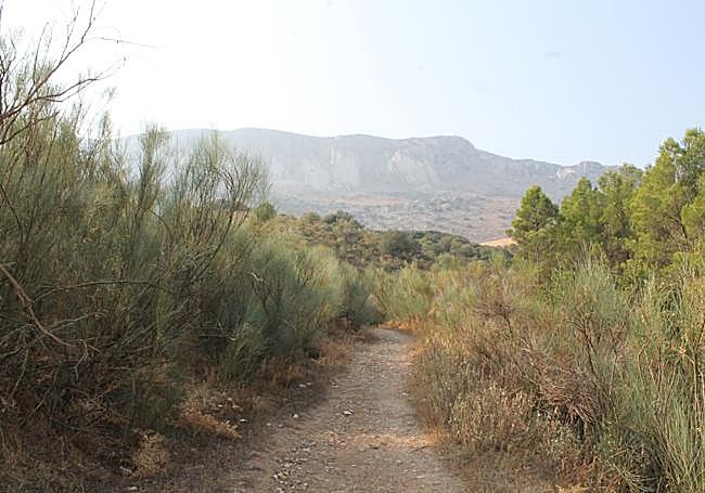
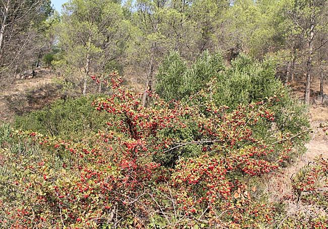
The main grove on this route is the reforestation pine forest (where a century and a half ago there were vineyards), although there are also cypresses, olive trees, wild olive trees, almond trees and the odd holm oak. There is an abundance of Mediterranean scrub, although there are also palmettos and sarsaparilla among other more unique botanical species.
As far as fauna is concerned, you might be lucky enough to see rabbits, hares and even foxes. There is much more variety in terms of birdlife, partly due to the proximity to El Torcal de Antequera natural site and partly due to the lush pine forest on a public mountain. You can see everything from small birds of the forest habitat to some birds of prey.
![[]](http://static.vocstatic.com/voc26/latest/assets/images/favicon/surinenglish/apple-touch-icon-57x57.png)