Weather
Aemet issues heatwave warning for Andalucía: how hot will it be and how long will it last?
Spain's state weather agency has already activated amber and yellow warnings for maximum temperatures above 40C in six provinces of the region this weekend
Europa Press
Malaga
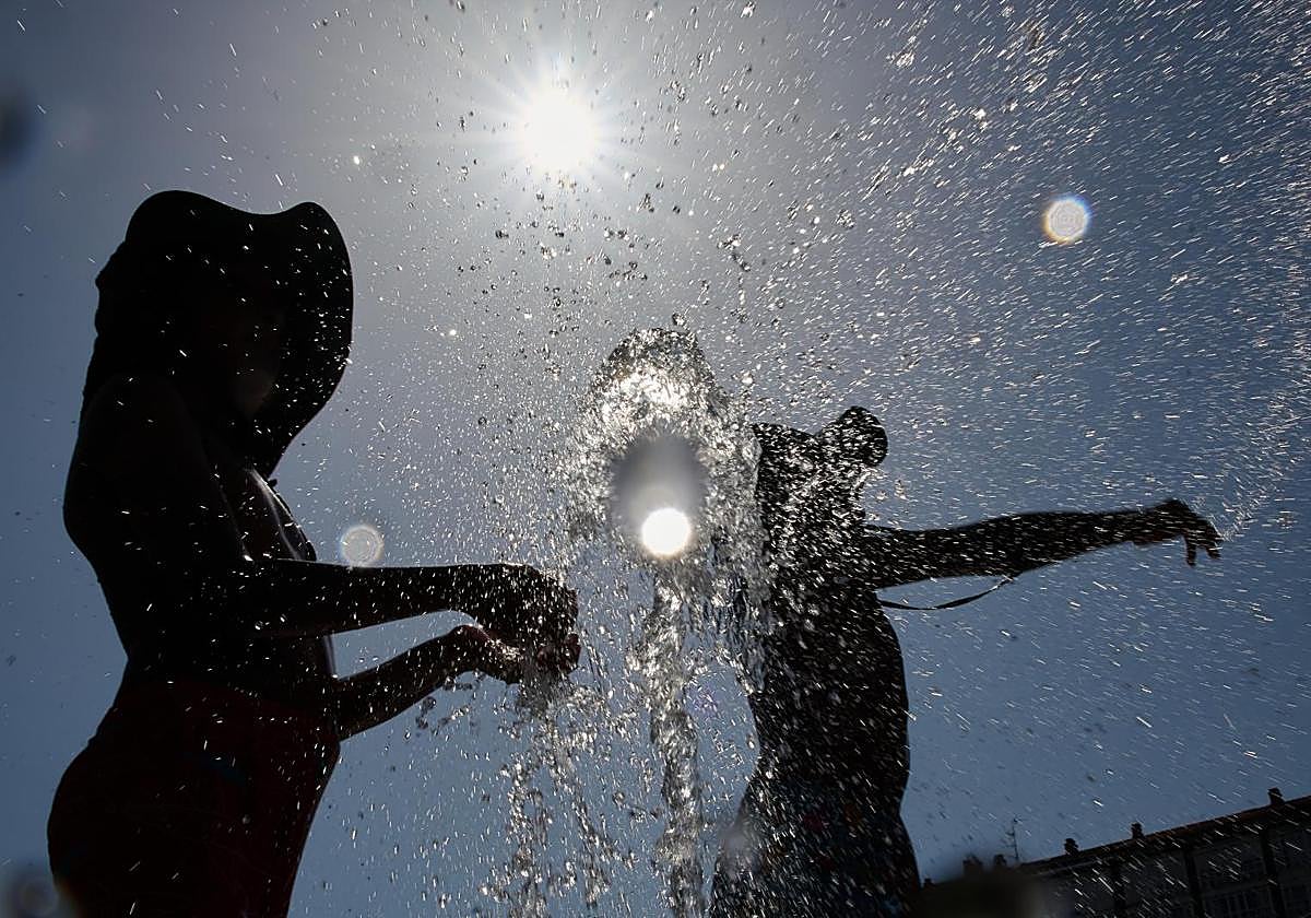
The second heatwave of this summer is approaching the Andalucía region in the south of Spain. The state meteorological agency Aemet has activated yellow and amber alerts for temperatures above 40C in six provinces: Cordoba, Huelva, Jaén and Seville (amber); Granada and Cadiz (yellow). Only Malaga and Almeria will be spared this sweltering episode of high temperatures, which will last between 1pm and 9pm on Sunday, 3 August - the first day of the heatwave.
According to Aemet, weather alerts will be activated in the south-western quadrant and the centre of the Spanish mainland. Monday will be the peak of the episode, with temperatures exceeding 42C around the Guadiana and the Guadalquivir rivers, although this figure might already be reached on Sunday. The temperature rise will spread to the inland areas of the Cantabrian coast at the start of the week. Some areas there will experience more intense heat than others.
Related story
There could be a considerable drop in temperatures in the extreme north of the country on Tuesday, but the abnormally high temperatures will remain in the central and inland areas of the south. Maximum temperatures will either be similar to or locally higher than on Monday.
Malaga will hardly be affected by this second heatwave, as local weather expert José Luis Escudero explained. "It will be hot, but fairly normal for this time of year. The humidity on the coast will make us sweat a lot and the thermal sensation will be uncomfortable," he said. According to Escudero, 39C and even 40C could be reached in the Antequera area on Tuesday, which might prompt the activation of an amber alert. The weather expert forecasts sea temperatures between 27-28C during the episode.
⚠️AVISO ESPECIAL | Ola de calor.
— AEMET (@AEMET_Esp) July 31, 2025
🌡️ A partir del domingo, 3 de agosto, las temperaturas serán muy altas en amplias zonas de la Península.
→ El episodio durará por lo menos hasta el martes 5, aunque podrá prolongarse en la mitad sur.
+ info 👉https://t.co/48Lsr8QC4f pic.twitter.com/2fcbiZ8gff
Aemet has admitted that uncertainty over the duration of the heatwave is high. Although most of the scenarios predict slight to moderate decreases in maximum temperatures from Wednesday onwards, it is likely that the episode of abnormally high temperatures in the southern inland areas mainland will continue on this day, with more than 40C in valley areas.
In addition to high temperatures, "partly cloudy or clear skies and light to moderate easterly winds on the Mediterranean coast and Cadiz" are expected on Sunday. There will be strong gusts of wind in the Strait of Gibraltar and the coast of Almería.
"The presence of an isolated depression at high levels to the southwest of the Spanish mainland, together with the anticyclonic circulation that is formed at this time of year over the African continent, will favour the entry of a warm and dry air mass that will affect the southwest quadrant and the centre of the Peninsula to a greater extent. This, together with the intense sunshine in most of the country, will lead to higher temperatures than usual for this time of year," added Aemet.
Minimum temperatures will also be high and will persist throughout the night, which will make sleep difficult. According to Aemet, night-time temperatures are "not expected to fall below 23-25C in large areas of central and southern Spain, mainly on Monday and Tuesday".