Weather
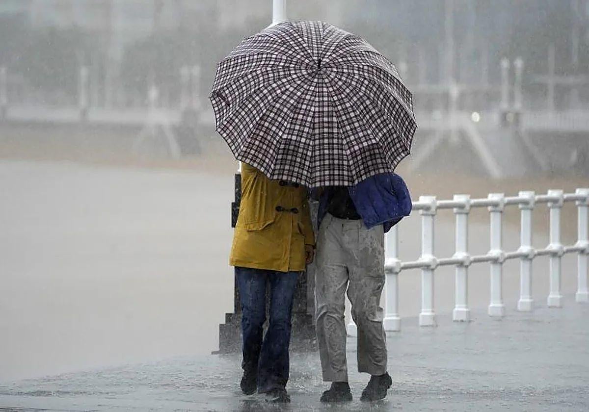
Hurricane Gabrielle will turn into a storm and bring strong winds, torrential rain and six-metre waves to parts of Spain this weekend
Meteored climatologist Samuel Biener has warned that despite the transformation it does not mean that its effect won't be felt
Europa Press
Madrid
The tail end of hurricane Gabrielle is expected to reach the Iberian Peninsula on Sunday, 28 September. According to Meteored climatologist Samuel Biener, the weather phenomenon will transform into a storm before it reaches the shores, accompanied by strong winds, torrential rain and waves of up to six metres.
Biener warns of a very adverse situation in the Azores in the next few days, where Gabrielle will arrive in its original form, as a hurricane with wind gusts of around 200km/h, intense rain and a fairly rough sea storm.
According to the European weather model, Gabrielle will transform into a storm more typical for Spanish latitudes over the weekend, that is to say, no hurricane will reach Spain. Instead, Gabrielle will transform into a post-tropical cyclone, with the possibility of some subtropical traces. Biener does not rule out the possibility of a depression or a subtropical storm forming over the Peninsula, if the cyclone interacts with a trough.
The core of 'former-hurricane Gabrielle' will make landfall between the area around Lisbon and Cape St Vincent, but there is still some uncertainty as to its final trajectory
According to Biener, the hurricane's transformation into a storm or a post-tropical cyclone does not mean that it won't be felt. Although it is not as adverse as a tropical cyclone, it can still cause intense winds across large areas, as well as locally heavy rain and rough seas around the centre of the depression.
Hurricane remnants
Despite the warnings, the climatologist reminded the public that it is relatively common for 'former-hurricanes' to arrive in Europe in the autumn. With that said, Gabrielle will be no exception.
According to Biener, the most likely scenario is that the centre of former hurricane Gabrielle will make landfall between the area of Lisbon and Cape St Vincent in the late morning or around noon. However, there is still some uncertainty as to its final trajectory, which is common with these post-tropical systems. In addition, due to the proximity of its core, it will bring adverse weather to several regions of Spain.
According to the Meteored reference model, Extremadura and the west of Andalucía will be the regions most affected by the rains. There is even the possibility of rainfall exceeding 50mm in some areas between Sunday and Monday. The west and the south-west of the mainland might even accumulate more than 100mm. Galicia can also expect rain, although no adverse situation is forecast for the moment.
In addition, wind gusts of more than 100km/h are expected around the core of former hurricane Gabrielle, although they won't be as intense in Spain.
Gusts of 50km/h
As for the wind, Sunday may bring gusts of more than 50km/h to western Galicia, Extremadura and western Andalucía and even more in exposed areas. Some isolated waves along the Galician coast and in the Gulf of Cadiz could reach five to six metres.
Finally, Biener stated that the storm will weaken rapidly as it crosses the Spanish mainland and the Strait of Gibraltar, but its remnants - a pocket of cold air at high altitude and a strong easterly flow - could give rise to locally heavy rains around the Strait of Gibraltar and in other Mediterranean areas at the beginning of next week.