Weather
Aemet warns of dramatic change of weather in Spain due to latest 'Dana' with storms and a temperature drop in these areas
The state weather agency has warned of further rain and a sharp drop in the temperatures across many parts of the Spanish mainland

Madrid
After a few days of sweltering heat and temperatures "more typical of July", a change is coming that will completely change the weather in Spain. This has been announced by the state meteorological agency (Aemet), which expects the arrival of a 'Dana' depression in the next few hours to bring rain and a sharp drop in the thermometers.
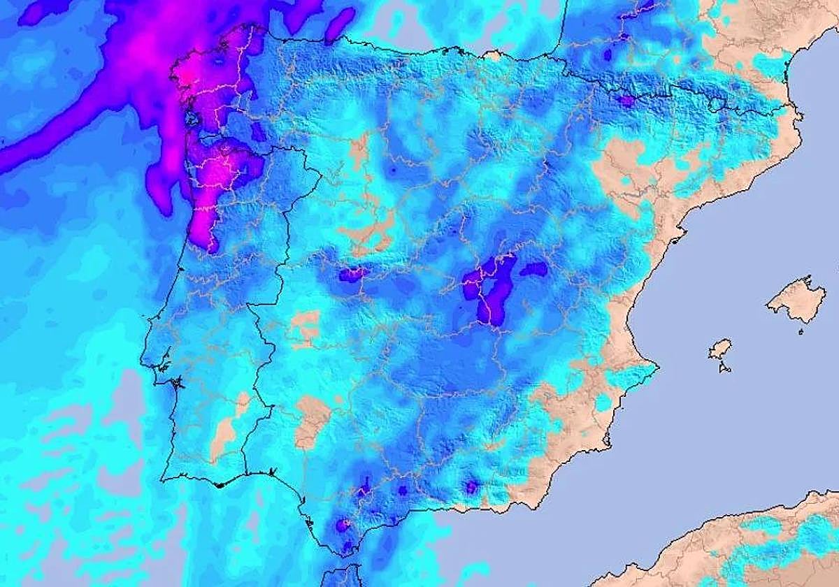
Since late Tuesday and especially from this Wednesday onwards, the weather will be conditioned by the new stormy showers that will reach the Spanish mainland. They will be especially noticeable in the north, centre and east of the country, where they could even be "accompanied by hail and very strong gusts of wind".
The arrival of this storm will also be felt in the temperatures, which will leave behind the 35 and 40C that were recorded last weekend in many places. This Wednesday, some Spanish provinces could record up to 10 degrees less than on previous days.
A 'Dana' will bring a dramatic change in temperatures in Spain
After a few days where heat and haze have been the protagonists, the arrival of an Atlantic dune will bring back instability. Thus, the next few hours in Spain will no longer be marked by high temperatures and will give way to strong storms, which could even be thunderstorms and be accompanied by hail.
It is expected that, from Wednesday onwards, the storm will allow a sharp drop in temperatures across the west, centre and south of the peninsula. Thus, in communities such as Galicia, Madrid, Castilla-La Mancha or Andalucía we could see maximum temperatures that will drop by almost 10 degrees, to below 25C.
Predicción semanal
— AEMET (@AEMET_Esp) June 9, 2025
De lunes a miércoles: ⛈️ nubosidad de evolución y chubascos tormentosos en el norte, centro y este peninsular, podrían venir acompañados de granizo y rachas muy fuertes de viento.
De jueves a domingo: 🌞predominio de sol sin precipitaciones significativas
(1/2) pic.twitter.com/IzurgpXOi5
Even so, we will continue to see seasonal highs in parts of Andalucía and some parts of the Ebro region, where heat warnings will be in effect. In provinces such as Cordoba, Jaén, Seville, Badajoz, Granada, Teruel, Zaragoza, Huesca and Lleida, the temperature will exceed 35C, and could even reach 40 degrees during the day.
According to the Aemet, from Thursday onwards we will once again see some stability imposing itself in Spain. This will mean that, coinciding with the weekend, we will once again see extremely hot temperatures in a large part of the country, reaching 40C in the Guadalquivir and surrounding areas.
The areas of the Spanish mainland where it is going to rain in the next few hours
The arrival of this new 'Dana' will also bring precipitation, especially this Wednesday, which will be the most unstable day of the week. During the day, there will be thunderstorms in large areas of the interior of the country, such as the west of Andalucía and the south of Castilla-La Mancha. In addition, late in the day we will see showers in the Central and Iberian system, Madrid, Galicia and the Cantabrian areas.
🌡️🔻 El episodio de tormentas viene acompañado de un desplome térmico. ¿Dónde bajarán más y dónde no se enterarán? 🫠
— Meteored | tiempo.com (@MeteoredES) June 10, 2025
👉 La previsión de @Divulgameteo. https://t.co/pfoRT9CZtZ pic.twitter.com/zDuNLG4fCb
Along with these showers, strong gusts of wind are also expected, which will exceed 70-80 km/h in inland areas. Also, in some areas these showers could be accompanied by hail and thunderstorms.
Things will change on Thursday, when the tables are expected to turn and stability is expected to prevail again. Even so, rain and thunderstorms could still occur during the day, although they will be of an isolated nature.