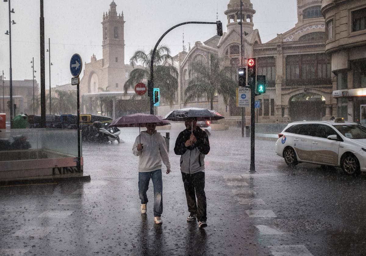
Aemet warns of arrival of a 'Dana' with rain and storms in these areas of Spain
Temperatures will continue to be very high throughout the country, although they will be milder than at the weekend
Patricia Marcos
Madrid
Monday, 9 June 2025, 13:54
After a weekend marked by the summer-like weather, with temperatures that have exceeded 40C in parts of Spain, some instability is on its way to the country. According to the state meteorological agency (Aemet), the arrival of a 'Dana' depression will bring rain and storms to many parts of Spain, although it will remain hot throughout the country.
The instability will hover over some areas of the Spanish mainland from Monday afternoon due to the arrival of the 'Dana', which will be located in the Atlantic and will move from south to north over the next few days, leaving strong storms.
It will bring some warmth to most of Spain, where high temperatures will remain - almost typical of July. The thermometers will be between 3 and 6C above normal values in practically the whole of the country. The heat, however, will become milder on Tuesday.
High temperatures and storms will put eight regions on alert this Monday: Madrid, Andalucía, Aragon, Castile and Leon, Castile-La Mancha, Extremadura, Galicia and Valencia.
Areas affected by rain and storms
Monday will still be a stable day. However, from the end of the day and from Tuesday onwards, the instability will start to be felt in the mountain systems and areas of the western Spanish mainland due to the arrival of an Atlantic system that will leave storms until Wednesday, when it will be picked up by a trough. However, this same trough may generate instability in Spain between Wednesday and Thursday.
For this Monday, the Aemet has forecast storms in widespread inland areas, with the probability of being strong in areas of both plateaus and surroundings, eastern Baetic and especially in the southern Iberian, where they could be very strong as well as being accompanied by heavy showers.
The approach of a 'Dana' depression from the west on Tuesday will cause an increase the instability in the Spanish mainland, said Aemet. The storm will leave, from midday onwards, storms in large areas of the northern half of the country, southern plateau and southeastern mountains. The storms are expected to be strong, with hail and very strong gusts, in large areas of the northern half of the mainland. There will also be heavy showers in the west of Galicia, the Cantabrian area, the upper Ebro, the north of the Iberian Peninsula and the Pyrenees.
The weather will continue to be unstable on Wednesday due to the 'Dana', which will leave cloudy skies over the whole of Spain. According to Aemet, precipitation with heavy thunderstorms is expected in the inland parts of Galicia during the early morning, and in areas of the centre and south of the country in the morning. The rains will spread throughout the west of the Spanish mainland in the afternoon. However, by the end of the day, skies will tend to clear in the southwest.
Hot weather continues throughout Spain
The warm temperatures will continue to be present during this week. The dorsal in the mid-high layers, as well as the warm air in the low and mid layers, will keep temperatures high in most of the country during these days, although there will be nuances.
Today (Monday), thermometers will exceed 35C in northern Andalucía, Extremadura, the western half of Castilla-La Mancha, southern Madrid and, occasionally, in Aragon and low areas of the northern plateau. Thus, it will reach 38 degrees in Ciudad Real, Córdoba, Granada, Jaén and Toledo. However, there will be lows of 10 degrees in Burgos and 11 degrees in Ourense, Pamplona, Soria and Vitoria.
Temperatures will become milder on Tuesday, although they will continue to be high in depressions in north-eastern Spain and Andalucía, reaching 39C in Cordoba and 38 in Granada, Jaén and Zaragoza. Minimum temperatures will also increase, except in the southwest third.
As for Wednesday, maximum temperatures will drop moderately or significantly in the centre and west of the country. The mercury will exceed 36 degrees in the north-eastern valleys and 38C in the middle reaches of the Ebro river. After the drop in temperatures that will take place between Wednesday and Thursday in particular, the thermometers will rise again from Friday onwards.
