Weather
Weekend with wintry weather in Malaga province: intense rainfall on Friday and strong winds on Saturday
State meteorological agency Aemet has issued a warning for heavy rainfall for Friday, especially in the westernmost part of the Costa del Sol, between Marbella and Manilva

Málaga
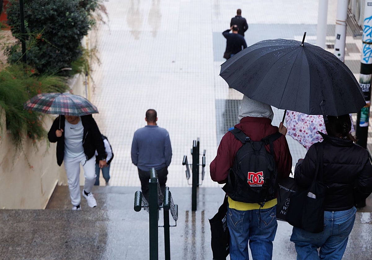
From a spring-like weekend to a purely wintry Friday, Saturday and Sunday in Malaga, only five days apart: this is the weather forecast in the province, according to state meteorological agency Aemet. If last weekend people were seen sunbathing, from Friday this week and until at least Tuesday, Malaga will switch to the type of weather more typical for this time of the year, although with some strong natural phenomena.
The Aemet centre in Malaga is monitoring the situation that will begin to develop from Thursday night, when the first light rainfall is expected - a sample of what is to be expected on Friday, when an isolated low or trough at high altitude with surface reflections will spread across the province. In this case, we are not talking about a 'dana' in the strict sense of the word. "We have to get used to the different nuances - it is neither a 'dana' nor an isolated cold low," weather experts state. In addition to downpours, this phenomenon will be characterised by intense wind, especially on Saturday and Sunday along the coast.
Yellow warnings
Several yellow warnings (low-risk) have already been activated: the first, for rainfall of up to 40mm accumulated in 12 hours, which will mainly affect the westernmost part of the Costa del Sol (between Marbella, Estepona and Manilva), Los Reales and the lower part of Serranía de Ronda.
In addition, there is another warning for "coastal phenomena" along the entire coastline of the province due to winds from the east and the north-east of 50 to 60 km/h (force 7) and waves of two to three metres in height.
50-60
mm may accumulate between Friday and Sunday in the westernmost points of the Costa del Sol
"It really depends on how the trough at high altitude and the low on the surface move," director of the meteorological centre in Malaga Jesús Riesco says. "Regardless, it's going to be a very unpleasant day."
The wet spell will continue throughout the weekend. "This depression will be isolated and on Saturday or Sunday it will be centred in the north of Africa," Riesco warns. This means that rainfall will continue, initially of low intensity, throughout the province, with the heaviest once again on the western coast. Depending on the position it finally takes, it may leave a good contribution in the La Concepción reservoir, which supplies this area.
The rains continue
Widespread showers are still expected on Monday, although they will gradually "move to the east". A new high trough, although different from the first, is expected on Tuesday.
A lull is initially expected between Wednesday and Thursday, but "more precipitation may arrive for the final stretch of next week (the weekend before Christmas)".
Cumulative probabilities
SUR's weather expert José Luis Escudero has compiled the probable accumulated rainfall predicted by the main models. According to the European model, 20 to 30mm may be collected on Friday between Marbella and Estepona, while on Saturday very little (less than 5mm) is expected in the same area.
According to these forecasts, another rainy episode may take place on Sunday, leaving 25mm in large areas of the western Costa del Sol. Therefore, if the forecast is fulfilled, the weekend could end with more than 50-60mm accumulated in the province, to which must be added the accumulations between Monday and Tuesday.