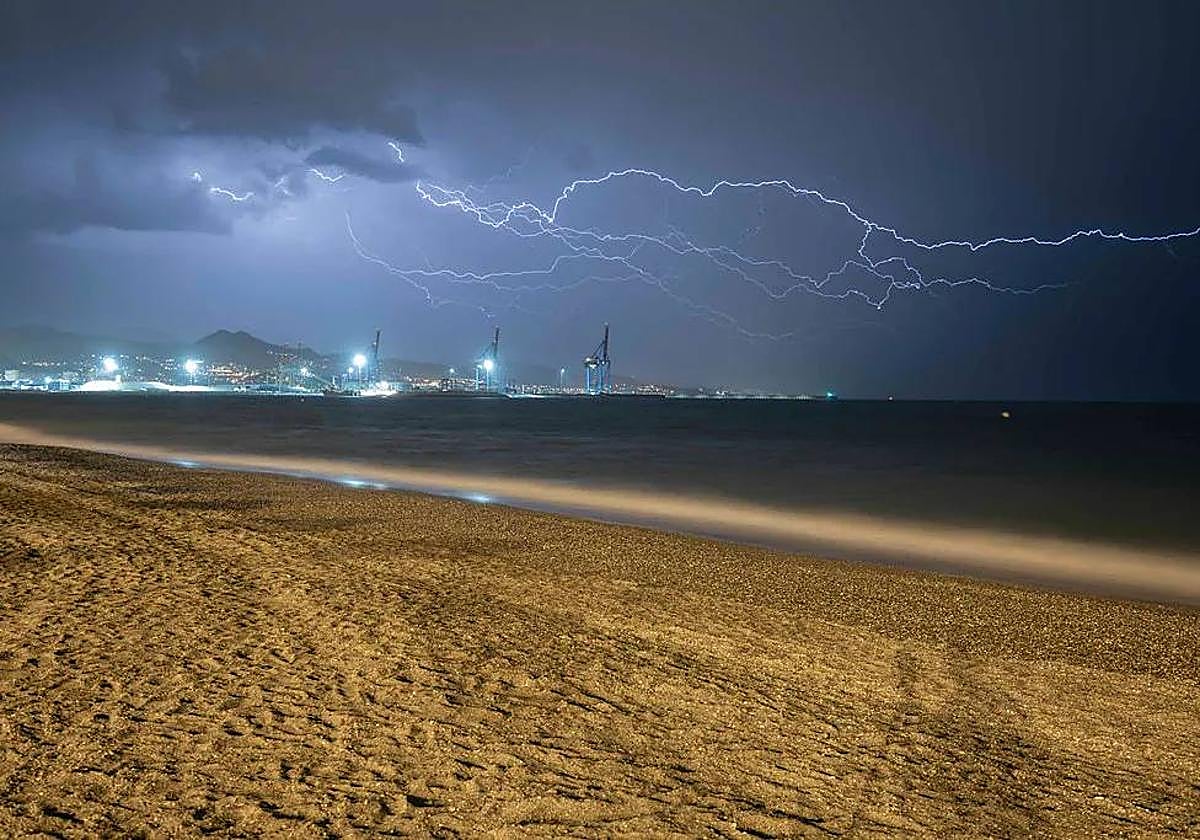
Spain's national weather agency updates forecast and warns 'embedded thunderstorms' are possible in Malaga and on the Costa del Sol this weekend
Aemet has said that this phenomenon could generate "locally intense gusts of wind"
Spain's state weather agency (Aemet) has this afternoon issued a warning on its official X social media account for "embedded thunderstorms" arriving in Andalucía this weekend.
"A weather trough at altitude with an associated cloud band in a very extended arrangement will affect areas of the region with some precipitation between the last hours of Saturday night and the first hours of Sunday morning. Associated with the passage of the cloudy and precipitating band, some embedded storms will occur," warned Aemet.
This is a weather phenomenon which, according to the forecast, could affect some areas of Malaga province. "The forecast has changed. The cold front that will affect us this Saturday night and early Sunday morning is likely to come with storms. They are called embedded because they are inside a cold front, i.e. a storm front", clarified local meteorology expert José Luis Escudero on his SUR blog 'Tormentas y rayos' (Storms and lightning). "They can generate locally intense gusts of wind," added Aemet.
Asociadas al paso de la banda nubosa y precipitante, se producirán algunas tormentas embebidas que pueden generar rachas localmente intensas. https://t.co/Ee5NmzoFaT pic.twitter.com/UKbXuzEaxT
— AEMET_Andalucía (@AEMET_Andalucia) September 6, 2024
Weekend forecast
For much of tomorrow, Aemet forecasts cloudy or clear skies in Andalucía, "tending towards cloudy with medium and high clouds in the southeastern half of the region, where occasional showers accompanied by thunderstorms are likely," the weather agency said. The arrival of 'calima', Sahara desert dust suspended in the atmosphere, is not ruled out on the Mediterranean slope, where temperatures will rise. In the case of Malaga province, the outlook puts the probability of sporadic rainfall at up to 85%, being higher in municipalities on the western Costa del Sol such as Marbella and Mijas. "On Saturday there is a probability of some weak and sporadic showers in the late afternoon and evening, which may be accompanied by mud deposits. This will be due to the passage of a very small active front," explained weather expert José Luis Escudero on his SUR blog 'Tormentas y rayos' (Storms and lightning). As for the maximum temperatures, they will range between 25 and 33C. The wind will blow moderately to strongly from the southwest and west depending on the area.
Possible rain... and the return of the warm 'terral' wind. On Saturday, Aemet is already predicting that the mercury will soar in inland areas of the Guadalhorce valley area of Malaga province in towns such as Álora and Cártama, where up to 36C is expected throughout the day. In Malaga city, the maximum temperatures will be around 32-33 degrees, while the minimum will peak at around 24C.
On Monday 9 September, a public holiday in Malaga city, Escudero predicts that the terral will continue to be the protagonist: "In some areas of the Guadalhorce valley the temperature will be close to 36C, in Malaga city the mercury will move between 34 and 35C and in the Axarquia and Estepona areas between 32 and 33C. From early afternoon I expect strong westerly gusts on the coast of Malaga," he concluded.

-kSaC--366x256@Diario%20Sur.jpeg)
