Weather forecast
Spain's Met Office activates yellow risk warning for bad weather on Costa del Sol
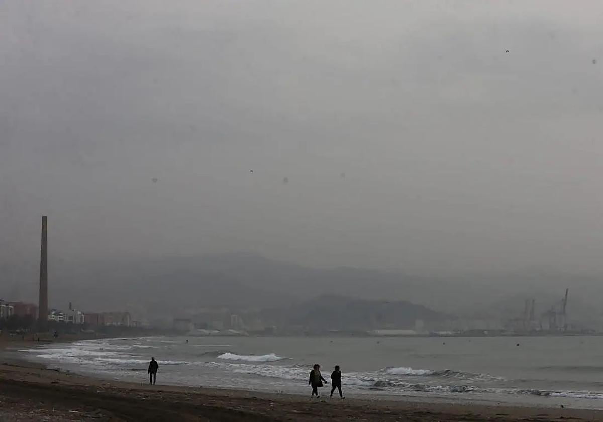
Aemet, the state weather agency, forecasts three-metre waves and wind gusts of up to 60 km/h on the coast on Thursday

Malaga
Spain's state meteorological agency (Aemet) is forecasting "variable weather" this week in Andalucía, with "widespread" rainfall on Thursday and Saturday, when the wind will also blow strongly. In addition, temperatures (both maximum and minimum) will drop with values slightly below average.
At the moment, in the case of Malaga province, Aemet has activated a yellow (risk) warning for coastal phenomena. From 9am on Thursday, wind gusts of up to 60 kilometres per hour are expected in Malaga city, the Axarquia and Guadalhorce valley and waves of three metres on the Costa del Sol.
As explained by the Met Office, since Tuesday the arrival of a band of clouds from the north of Madeira "will leave precipitation especially in eastern Andalucía, the Mediterranean slope and also the provinces of Huelva and Cadiz". This was stated by its regional delegate, Juan de Dios del Pino, who correctly forecast the light showers as people celebrated Halloween.
He added that this rain would be "a foretaste of what is coming on Thursday" with "an active front associated with an extensive and intense storm that will reach the whole of the mainland and all of Andalucía", and which will bring with it "quite a lot of wind and a significant drop in maximum and minimum temperatures", which "will be more noticeable the following day". The Aemet delegate has not ruled out the possibility of some snowflakes falling in the Sierra Nevada.

After the passage of this front, Del Pino stressed that on Friday "it may rain, although very scattered and in small amounts". Looking ahead to the weekend, Aemet forecasts that a new front will arrive on Saturday "with quite a lot of wind", a situation that will continue on Sunday, "with the possibility of very scattered showers and also gusts of wind".