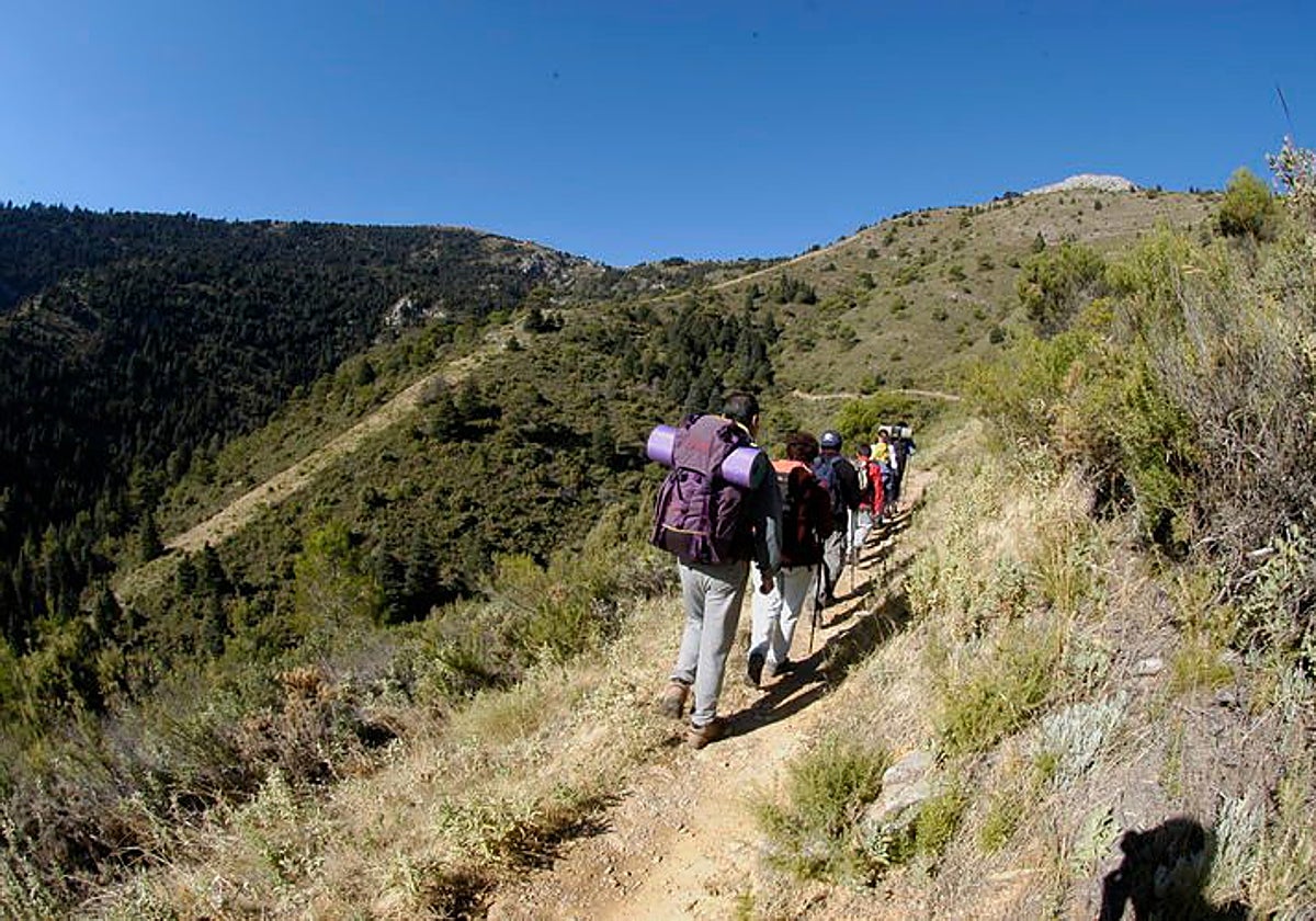
Hiking in Malaga
New app will showcase entire network of trails in Malaga's Sierra de las Nieves national park
It will feature a geolocation facility and downloadable content to access all the hiking and mountain bike routes in this protected natural area of the province

Sierra de las Nieves
From paper maps to mobile phones. Exploring the Sierra de las Nieves mountain range in Malaga province without getting lost and with all the information in your pocket will soon be a reality. This natural, tourist destination will take another step forward in its digital transformation process with the launch of a mobile app for trails that will allow users to consult the entire network of paths from their phones. The tool is designed for both local residents and visitors and aims to facilitate access to information in a simple, practical way, adapted to the new demands of active tourism.
Through this application, users can access geolocated routes and download content before starting their hike. This functionality allows the tool to be used even in areas without cell phone coverage, which is especially important when out in nature. This enhances the visitor experience, facilitates navigation along the routes and strengthens safety while passing through the area.
This initiative falls under Axis 3, the digital transition process within the tourism sustainability plan (PSTD) for the Sierra de las Nieves National Park and is entirely financed by EU Next Generation funds. The project's main objective is to enhance the tourist experience through digital tools, while simultaneously facilitating access to information and strengthening promotion of the destination in the digital environment.
With this initiative, the Sierra de las Nieves National Park continues to advance in its tourism modernisation process and adaptation to the changing needs and demands of visitors. The use of technological solutions allows for improved competitiveness of the destination and the provision of more accessible and efficient services, in line with a sustainable tourism model that respects the natural environment.
From the association of municipalities of the Sierra de las Nieves (Mancomunidad), its president and mayor of Istán, José Miguel Marín, highlighted the importance of this digital tool. According to him, the application "represents an important step towards providing visitors with a useful and accessible tool", which will facilitate exploring the network of trails with clear and up-to-date information. He also stressed that the project strengthens the presence of the destination in the digital environment.
Marín stresses that the application "represents an important step towards providing visitors with a useful and accessible tool"
As for its functionalities, the app will allow users to consult hiking and mountain biking routes using a geolocation system that will maintain accuracy even without cell service. Furthermore, it will offer the possibility of identifying specific points along the route by using the mobile phone's camera to focus on the markers installed on beacons and information panels located along the trails.
Another advantage will be the ability to download route info beforehand for use during the hike without needing an internet connection. This option will facilitate access to content at all times and will allow the user to plan the route in advance, knowing its main characteristics beforehand.
A representative selection of routes
The app will cover at least a representative selection of routes in the park. It will include itineraries that run through municipalities such as Alozaina, Casarabonela, Monda, Istán, Ojén, Tolox and Yunquera, as well as incorporating 15 mountain bike routes in the area. All trails will be hosted on the Wikiloc platform, which will facilitate their consultation and any updates.
15
mountain bike routes in the area
In terms of languages, the application will be available in Spanish, English, French and German, which will broaden its reach and facilitate its use by international visitors. This improves information accessibility and strengthen the destination's international profile.
Regarding content, the app will include practical information on each route, such as its name, length, level of difficulty, estimated time and recommendations for the route. It will also offer interpretative information on the natural and cultural environment, with references to the flora, fauna, landscapes, history and culture of the National Park, as well as specific factsheets on key points of interest.
Finally, the Mancomunidad has awarded the development of the application to the company Ticsmart SL for a final amount of 36,938.27 euros, under Lot 2 of Axis 3 within the PSTD plan. The Sierra de las Nieves National Park's tourism sustainability plan has an overall budget of 3.91 million euros, allocated to 33 actions spread across four strategic areas: green and sustainable transition, improving energy efficiency, digital transition and competitiveness.