Weather
Snow falls in the highest areas of the Sierra de las Nieves
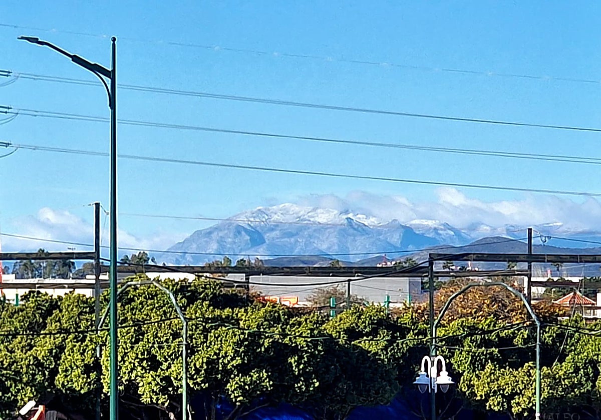
The first snowfall of the "meteorological winter" in the province of Malaga came at an altitude of around 1,700 metres

Sierra de las Nieves
The Sierra de las Nieves dawned this Wednesday 3 December with its peaks dyed white in what was the first snowfall of the meteorological winter in the province of Malaga. Although the amount was not abundant, the layer of white was clearly visible from different points of the Malaga coastline, proving right the forecasts that pointed to a drop in temperatures and the arrival of cold air at high altitudes.
The episode, brief but striking, left snow at an altitude of around 1,700 metres, especially at the highest points of the mountains. Sleet may have fallen in lower areas, although it did not settle.
The possibility of more snow in the short term seems limited. Although the cold will continue for a few more days, forecasters point to a recovery during the weekend that could even lead to spring-like temperatures on the coast, with highs close to 22 degrees Celsius.
Despite this, experts remind us that it is not unusual for snow to appear early in this part of the province. In fact, in some years it has even arrived in October and, even anecdotally, at the end of September.
Expected phenomenon
Weather expert José Luis Escudero, author of the blog Tormentas y Rayos, explained that this is a completely expected phenomenon within the dynamics of the meteorological winter: "It is the first snowfall of the meteorological winter, which you know starts on 1st [of December]. Today some fell, not much, but enough to whiten the peaks," he said.
Also, on the altitude of the snowfall, Escudero specified, "The peaks that are white are from about 1,700 metres. It may have snowed a little lower, but it hasn't settled. From 1,700 metres upwards, it did settle." He also stressed that the snowy appearance was likely to be shortlived.