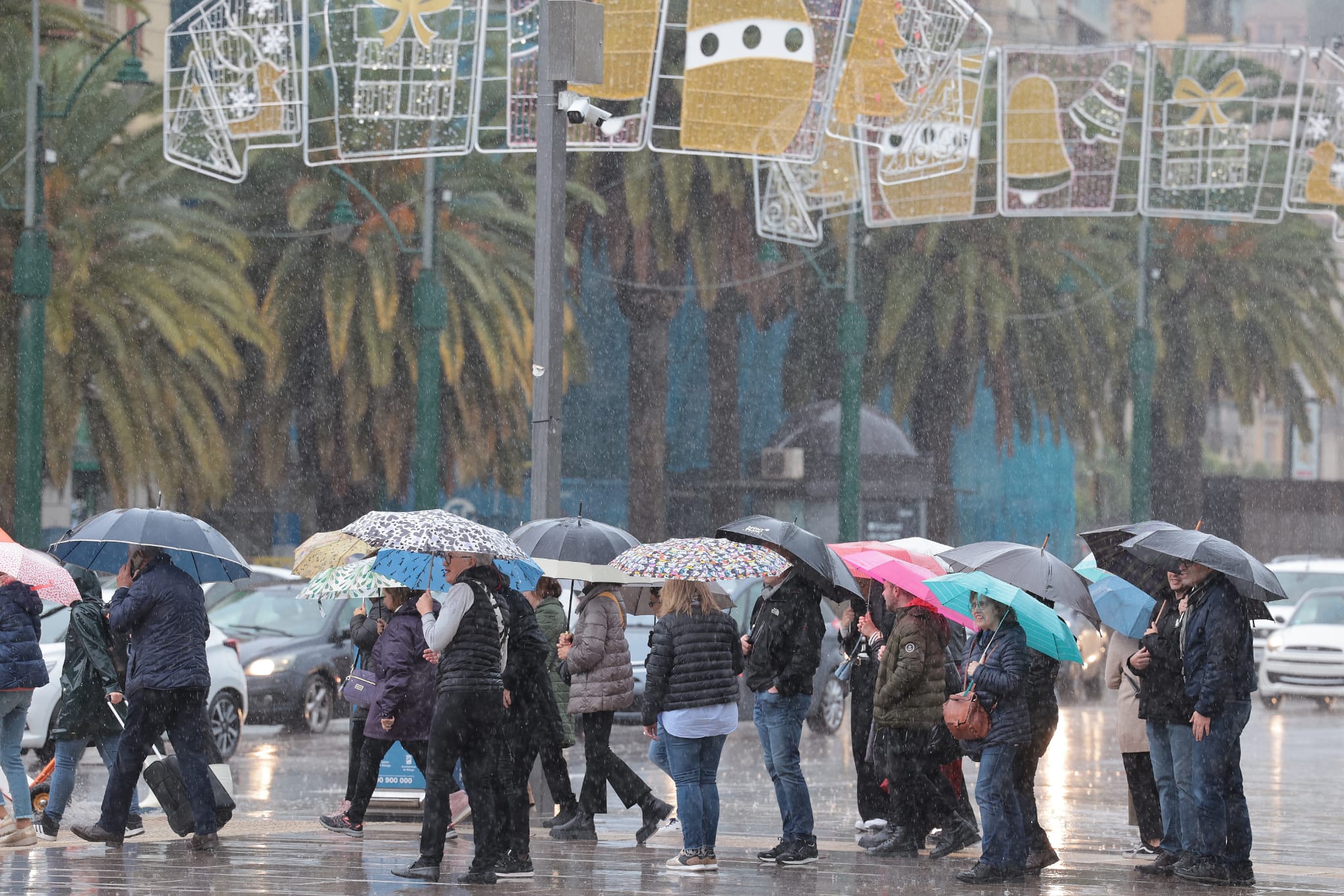
Red alert activated for heavy downpours and flooding in Malaga and along the Costa del Sol with more than 120mm of rain forecast
Spain's state weather agency has activated the 'extreme risk' alert from 10am until midnight in these areas of the province on Wednesday, which will be followed by an amber warning until 8am on Thursday
A red level weather alert for Malaga has been issued by Spain's state weather agency. A large part of the province will be at an "extreme risk" on Wednesday (13 November) due to torrential rain and flooding, as Aemet has activated the maximum warning level that exists in the scale of colours that grade this type of warning.
Specifically, Malaga city, the Guadalhorce valley, Costa del Sol and Axarquia area have been placed on the highest-level alert, where up to 120mm of rain may fall in twelve hours. The most risky hours will be between 10am and midnight.
🔴Pasa a rojo - riesgo extremo- el aviso por 🌧️ en Málaga capital, Sol y Guadalhorce y Axarquía.
— Emergencias 112 (@E112Andalucia) November 12, 2024
Medidas:
➡️Desalojos en puntos de #RiberadelGuadalhorce en Álora, Cártama, Alhaurín de la Torre, Pizarra y Málaga.
➡️Suspendidas clases y centros de día, discapacidad y dependientes pic.twitter.com/QrXZmT97Zo
In addition, there is a high risk of heavy downpours, which could leave no less than 50mmin just one hour. "The warning refers to the eastern part of the province," Aemet explained.
The evolution will be quite complex. From 3am the amber level warning will be active, with two variables: accumulated rainfall in one hour (the aforementioned 50 mm); and accumulated rainfall in 12 hours (105 mm).
Subsequently, at 10am, Malaga and the Costa del Sol will enter a red alert level, and this will continue until midnight. And from then on, i.e. Thursday, the amber warning will continue (between 40 and 105mm, from midnight to 8am.
Meanwhile, in Antequera there is an amber warning, which also means a high risk, due to rainfall of up to 100mm in the same hourly interval, and yellow in the Serranía de Ronda.

