Weather
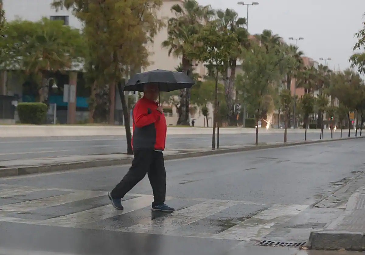
Rain set to return to Malaga and the Costa del Sol on Wednesday and Thursday
The good news is that there will again be rainfall in the province; the bad news for the reservoirs is that the heaviest will fall on the coast and over the sea

Malaga
The rains will return to Malaga province tomorrow, Wednesday 11 December, and Thursday in particular, although it is not ruled out that they may hang around until Friday. So much for the good news. The bad news is that the heaviest rainfall is expected in coastal areas and over the sea, so they will hardly make any noticeable difference in the reservoirs.
This is the forecast provided by Spain's Aemet state weather agency, although it is a complex situation to model and we will have to be alert to possible changes. Its loca director, Jesús Riesco, explained that the first showers will be seen from tomorrow, Wednesday, and will enter from the eastern part of Malaga province, ie. the Axarquía. In meteorology terms, this latest weather phenomenon is known as an isolated low or isolated cold storm (BFA) and, therefore, it will not be a 'Dana', like the two previous weather episodes.
The BFA will move "retrograde", from east to west, and with the unstable easterly flow in the Alborán Sea area it will give rise to the showers. "Where it will rain most is at sea," Riesco stressed. Although on land it will also rain in many places, and it may be locally heavy in some places on the coast on Thursday, which is when the heaviest intensities are expected. Inland, only light showers are expected.
Hence, no weather alerts have yet been issued, although the meteorologist warned that the phenomenon will have to be monitored until Thursday itself. Associated thunderstorms are also expected, so some lightning will strike on both days. Friday is also likely to see some showers, but to a lesser extent.
For his part, José Luis Escudero, an expert in Malaga meteorology and head of the SUR blog Tormentas y Rayos (storms and lightning agrees that there is still uncertainty about the possible rainfall left by what he calls a "retrograde trough". "When it changes tomorrow to the east it will bring showers, especially from midday and starting in the Axarquia area, hopefully rising a little as far as La Viñuela, but it is not going to rain everywhere," he said.
It is even possible that there will be snow from 1,200 metres above sea level, in places such as Tejada and El Torcal.
Possible accumulations
The bulk of the rain will fall mainly on the coast and at sea.The heaviest will be between Wednesday night and the early hours of Thursday morning. While on Friday there is still a lot of uncertainty.
The models do not agree on the possible accumulated amounts either, which, in any case, will be rather scarce. The European model forecasts around 20mm between Wednesday and Thursday, and places the heaviest downpours on the coastline off the coast of Malaga city.
The American weather model is a little more generous and forecasts that part of the epicentre of the storm will be over Malaga city, Rincón de la Victoria and Torremolinos, with between 40 and 60mm accumulated, especially during the day on Thursday.
Cold weather continues
What is certain is that temperatures will remain below normal at least until Friday, although by the weekend they will rise to normal values for this time of year in December, after a slight increase on Saturday. For the time being, daytime temperatures will be around 15-16C in Malaga city and on the coast, and 11-12 degrees inland. At the weekend, the highs will rise to 18-19C on the coast (minimum 9 degrees) and 14C maximum and 4 degrees in Antequera.
For his part, Escudero has pointed out that in the early hours of last night there were significant frosts in many parts of the inland areas of Malaga province, with temperatures below zero in the Vega de Antequera, Serrania de Ronda and the upper Axarquiaa areas. In the city, the thermometer at Malaga airport marked the lowest temperature so far this winter, with 5.8C.