Mercury set to rise in Malaga again with temperatures over 40C degrees this weekend
In some inland areas of the province, Aemet expects thermometers to reach 44 degrees on Sunday

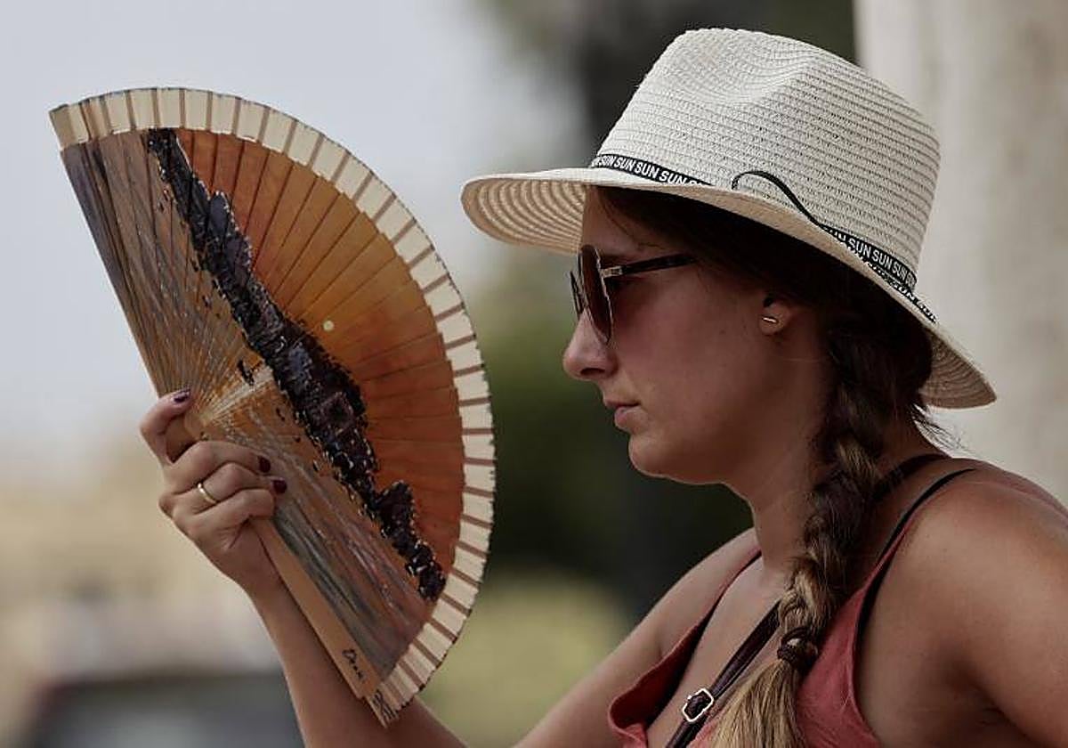
If the weather forecast is accurate, Malaga will experience a new episode of extreme heat this coming Sunday, with the hot terral wind as the main feature. Spain's state weather agency (Aemet) has not yet activated risk warnings, but everything seems to indicate that it will do so in view of the forecast.
Once again, the worst part of the episode will be borne by inland areas of the Guadalhorce Valley such as Pizarra, Álora, Coín and Cártama, where maximum temperatures of 44C are expected. In contrast, the Costa del Sol and the Axarquia coastline will record the most moderate temperatures of the day (along with Malaga city itself), with thermometers climbing to around 35-36 degrees in most municipalities of the coastal strip. Nerja and Torrox will be an oasis in comparison: temperatures will not exceed 31 degrees.
"If what the weather models predict for Sunday the 30th is fulfilled, we will probably have the fifth terral in Malaga with more than 40 degrees. Since records have been kept at the Aemet station at the airport (1942) there have only been four. This July there have been more terrals eleven, and if it happens on Sunday it will make twelve", explained weather expert José Luis Escudero in his SUR blog Tormentas y Rayos (Storms and Lightning).
The month of July will bid farewell with typical temperatures for this time of year, with values above 40C in the south of the Spanish mainland, according to the spokesperson for Aemet, Rubén del Campo. "After a few days of somewhat cooler temperatures, during the last days of July and the beginning of August, heat is expected again," he said.
Storms
On Thursday, the arrival of a front from the Atlantic settled over the north of the mainland and will cause an increase in atmospheric instability, bringing clouds to the interior and northern half and the east of the mainland. These clouds could bring stormy showers that could be heavy and accompanied by hail in Navarre, northern Aragon and Catalonia, while dry storms with little precipitation but with strong gales could occur in other parts of the northern half, especially on the plateau.
Aemet warns of "torrid nights".
After the passage of the front, Del Campo said the weather will stabilise, although there will still be cloudy skies accompanied by rain in Galicia, the Cantabrian Sea and the northwest of Castilla y León. Temperatures will fall in the north and rise in the south and the Balearic Islands. Aemet warned of the forecast of "torrid nights" in the Mediterranean (including Malaga province), where minimum temperatures will not fall below 25 degrees.
This weather stability will continue - according to Aemet - during the first days of next week as the skies will continue to be generally free of clouds except in the Cantabrian Sea, where light rainfall is expected. As for temperatures, in the case of Andalucía the heat will remain, with more than 40C in the Guadalquivir valley. "The torrid nights will continue in the Mediterranean, with hot nights due to the water temperature, which will still be warm," added the state agency.