Weather
Malaga province close to 40C but no heat warning issued this Monday
National meteorological agency Aemet maintains heatwave warnings throughout Spain until Thursday

Málaga
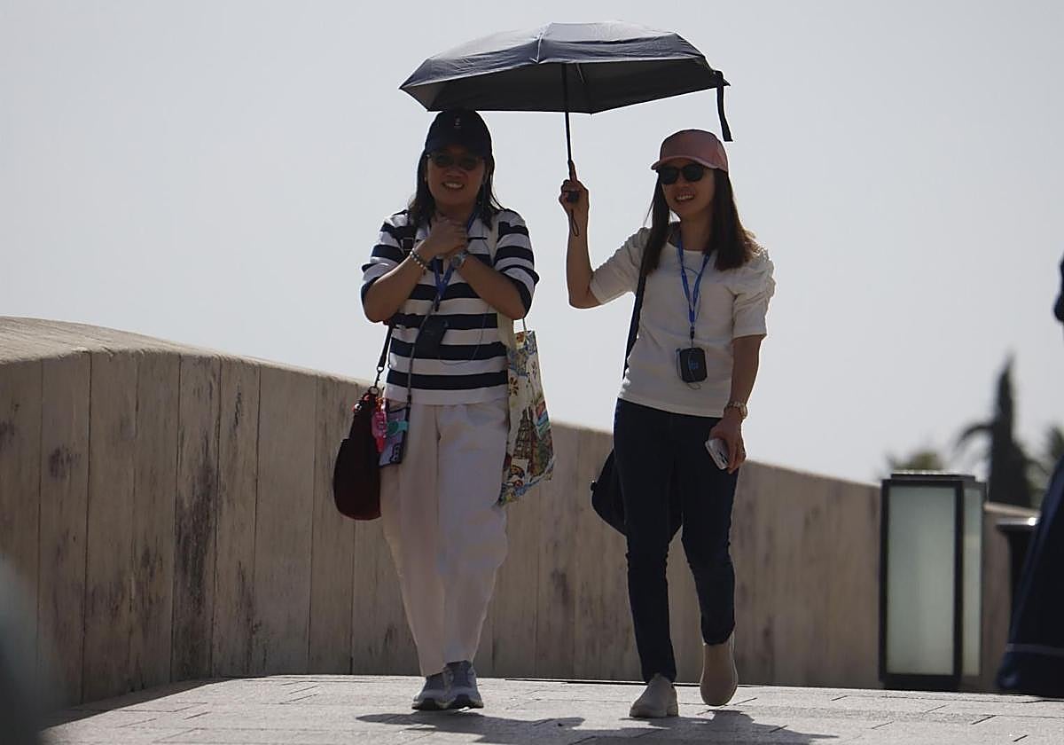
The second official heatwave of this summer will continue to hit hard this week. For this reason, state meteorological agency Aemet maintains warnings for high temperatures until Thursday. Although not spared the heat, Malaga is the only province in Andalucía, along with Almeria, without a warning this Monday. Both Malaga city and the province will exceed 30C, with 37C in Coín and Álora on Monday (and a minimum of 22) and 38C on Tuesday, after which the temperature will go down to a maximum of 37C again for the rest of the week.
An amber alert will be in force in Huelva (Aracena, Andévalo and Condado); the countryside of Cadiz; Seville; Cordoba; Morena, Condado and Valle del Guadalquivir in Jaén; and the Cuenca del Genil in Granada. In some areas, temperatures will reach 42C and the high risk warning will be extended between 1pm and 9pm.
Meanwhile, the coast of Huelva (Aracena), the northern and southern mountains of Seville (Campiña and Sierra Norte), the Subbética area of Cordoba and the Jaén areas of Capital y Montes, Cazorla and Segura will be under a yellow heat warning. The situation is similar for Tuesday, 12 August, when Aemet predicts amber warnings for the provinces of Huelva, Cadiz, Cordoba, Seville and Jaén. In principle, the province of Cadiz will remain under a yellow warning.
Asturias - the exception
All the Spanish regions, except Asturias, will be under a heat warning on Monday - 11 under an amber alert, while the interior of the Gipuzkoa province and the Ebro in Zaragoza will be under a red alert. Galicia, however, will experience a significant drop in maximum temperatures, as will Cantabria and the Balearic Islands, so all three will remain under a yellow warning.
Maximum temperatures will increase in areas close to the Mediterranean, the Ebro and certain areas of the Cantabrian slope. As a result, temperatures will exceed 35C in most of the Iberian Peninsula and the Canary Islands, as well as in parts of the Balearic Islands, reaching 40C in practically all of Andalucía, Extremadura, Castile-La Mancha and even Navarre.
Minimum temperatures will mostly remain unchanged. Rises are expected in the Levante, the Ebro and the eastern Cantabrian Sea, while decreases will occur in the northwest of the peninsula. In most of the country, temperatures will not fall below 20C, except in the extreme north-west of the peninsula and in the mountains. Minimum temperatures may locally exceed 25C in the Levante and in eastern Andalucía, while they are not expected to drop below this figure in large areas of the Canary Islands.
Moderate northerly winds will blow in the Canary Islands and easterly winds in the Strait of Gibraltar, both with likely intervals of strong gusts. Light winds from the east and south will prevail elsewhere, gradually strengthening during the day and shifting to the west in the Cantabrian region and the northwest quadrant of the Iberian Peninsula.
There could also be thunderstorms and showers, potentially locally heavy with hail and very strong gusts of wind in the Pyrenees and the south of the Iberian Peninsula, with a new episode of haze in the Canary Islands.
Aemet maintains the heatwave warning in Spain until next Thursday, 14 August, with maximum temperatures that will exceed 41C in the valleys of the Tagus, Guadiana and Guadalquivir rivers on Monday and Tuesday.