Storm Leonardo
Malaga province faces biggest succession of storms since 2010
Storm Leonardo and a phenomenon called 'atmospheric river' have forced Andalucía's regional government to suspend school classes and prepare for emergency operations

Málaga
The succession of storms Malaga province has been hit with since the autumn is the biggest since 2010, according to data from the state meteorological agency (Aemet). This means that no annual record from the past 15 years talks of such repetitive storms and abundant rainfall.
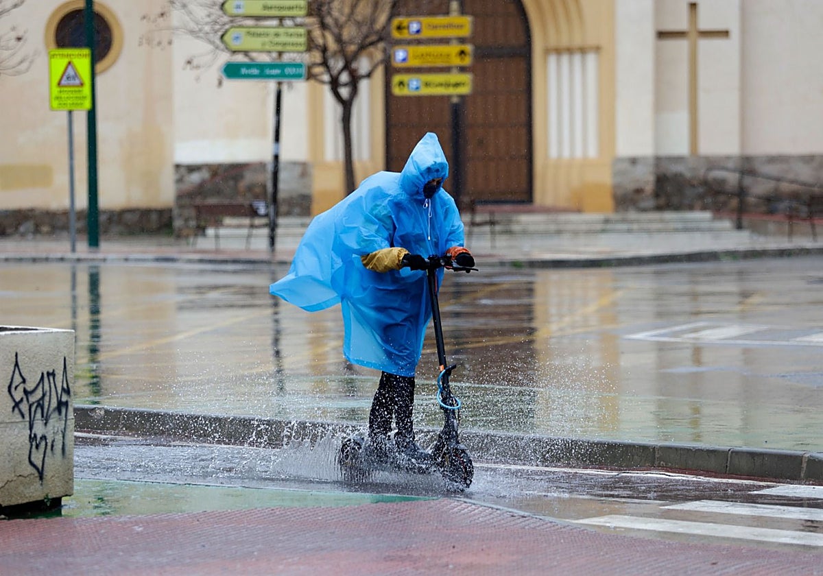
Leonardo is the latest storm this season, but alone it does not account for the high flood risk that Andalucía is under alert for. This week, storm Leonardo merged with a so-called 'atmospheric river' - a concentrated corridor of tropical moisture originating in the Caribbean, with the capacity to dump large quantities of water.
This weather phenomenon entered the province of Huelva late on Tuesday afternoon. Malaga province has so far felt it in the form of very heavy rainfall, not in torrents, which means that the amount fallen in an hour is not abundant. It is a persistent wet spell, accompanied by winds both along the coast and in the interior of the province.
Another reason why the Andalusian emergency committee has decreed phase two of the flood-prevention plan is the fact that it has been raining for some time now. Previous storms have left the land unable to absorb more water and storm Leonardo is expected to bring incessant 24-hour rain.
Aemet has activated the maximum red warning for up to 200mm in 24 hours and up to 150mm in 12 hours. The warning extends all day, from midnight on Wednesday until the beginning of Thursday.
Following the committee meeting, delegate of the Andalusian regional government in Malaga Patricia Navarro confirmed that what most concerns them is not the rain itself, but the state of the land after many storms. There's little drainage capacity and a risk of floods and landslides.
In addition, rivers and streams are entering the storm with flows that are already much faster than usual and with runoffs from the preceding storms.
Authorities are paying special attention to the unregulated Guadiaro system and to the Genal river, especially in the lower stretches that pass near Casares, Estepona, Manilva and Marbella.
High-risk areas
On Wednesday, the regional government is mostly focusing on the Serranía de Ronda (Guadiaro and Genal); the western Costa del Sol (Casares, Estepona, Manilva and Marbella); the Guadalhorce Valley, from the headwaters (Villanueva del Trabuco, Villanueva del Rosario, Bobadilla Estación) to Coín, Alhaurín el Grande, Cártama, Pizarra, Álora and the mouth of the river in Malaga; the Axarquía district, especially the basin of the Guaro river, the valley of Vélez-Málaga and Torre del Mar.
In addition, from midday, the MA-7150 road at Casares (kilometre point 1.9) and the A-366, between Coín and Tolox (kilometre point 53) will be closed due to the risk of landslides.
The 112 emergency services, civil protection, Infoca, the fire brigades, the Red Cross and psychological care teams are ready to assist where needed. Coordination aircraft (ACOR) have also been deployed for aerial surveillance of watercourses and flood zones.
The elevation to level two allows the activation of the military emergency unit (Ume). This state-governed body is prepared to intervene during floods, rescues, mountain incidents and to monitor mining ponds. In addition, the 112 services set up an advanced command post in Ronda.
"Better to err on the side of caution than to fall short with preventive measures," Navarro said, acknowledging the disruption these decisions cause but stressing that public safety comes first.