Weather
From beach to rain: national weather agency forecasts rainy week in Malaga province
The heaviest rainfall is expected on Friday, although there will be an early start on Wednesday, when temperatures are expected to start dropping

Málaga
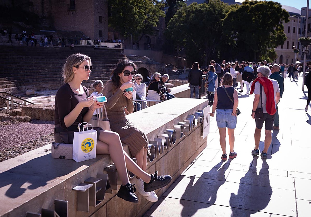
Malaga is expecting its rainiest week for the autumn from Wednesday, despite the last long weekend experiencing higher than usual temperatures and beach-worthy days.
State meteorological agency Aemet forecasts the heaviest rainfall on Friday, although there will be an early start on Wednesday due to a different front.
Related story
-
 Ester Requena
On 10 December, an Atlantic front will cross Malaga, leaving rainfall that will affect practically the entire province. Although in principle rainfall will not be heavy, it may be moderate in the westernmost part of the province (Estepona, Marbella and Serranía de Ronda), as Aemet director for Malaga Jesús Riesco has warned.
50-60
mm may be collected this week in parts of the province, especially on Friday
Thursday will be a transition day, with no rain expected. But on Friday, what the meteorologist describes as "an upper-level depression with a surface reflection and the possible formation of a small surface low" is set to arrive. Therefore, although it might eventually be classified as a 'dana', Riesco prefers not to call it that for now.
Friday - coldest and wettest day
"This will generate an easterly wind and there will be rainfall from Friday and even over the weekend," Riesco says. Rains may be locally heavy on some days, although there is still a lot of uncertainty as to the precise forecast due to the unknown location of the depression.
In conclusion, from Friday onwards, an episode of heavy rain is expected to begin, for which some models predict accumulated rainfall of 50-60mm until Sunday, according to data collected by SUR's weather expert José Luis Escudero.
In the best possible scenario (for water reserves and agriculture), the phenomenon could continue until the beginning of next week, with a certain intensity at some point and especially in the western area, although this cannot be guaranteed as the pattern may change.
According to Escudero, Malaga province will be visited by "a stationary front" on Wednesday, which will move "very slowly". The most notable accumulations will be in the westernmost area (around 5-10mm in the high points of Estepona and Marbella and in the Serranía de Ronda).
Escudero allows the possibility of a 'dana' forming between the early hours of Friday and Saturday morning. Under these circumstances, it could continue raining until Sunday, although Escudero does not expect large accumulations because the temperature of the sea is not very high. "In any case, rainfall will do us a lot of good," he states. On Friday alone, up to 40mm could accumulate in parts of the Guadalhorce Valley and another 20 more on Saturday.
Changing temperatures
At the same time, temperatures will generally remain slightly above normal this week, with 21C on Tuesday. On the other hand, a strong oscillation is expected again with the passage of the fronts. The maximum temperature in Malaga city and along the coast on Wednesday will be around 19C. Friday will be the coldest day, with maximum values of 16C. Temperatures will again rise to 19C on the coast over the weekend.
In the interior, the change in temperatures will be more noticeable. In Antequera, for example, maximum temperatures will go from 20C on Tuesday to 14C on Wednesday, then to 16C on Thursday and 13C on Friday. As on the coast, values will rise again to around 17C on Saturday and Sunday. "In general, they will be above normal, except for those two days when temperatures will be practically normal" for the season.
November was once again a 'warm' month in Malaga
Although it is now a common trend almost month after month, November was once again warmer than normal, both in Malaga city and in the province as a whole. According to Jesús Riesco, the airport thermometer showed higher than usual values at the start of the month, while the second fortnight was colder, although the average was still almost 0.5C above normal.
As for the province as a whole, the abnormal weather conditions were even more noticeable - the average was 0.7C above normal. The average in the province as a whole in November was 13.7C, when the usual value is 13C.