Weather
Malaga and Cadiz red weather alert: Storm Leonardo 'atmospheric river' to dump 250mm of rain
Emergency services warn of flash flooding as heavy rain expected in Serranía de Ronda and Grazalema; winds of 80km/h predicted

Málaga
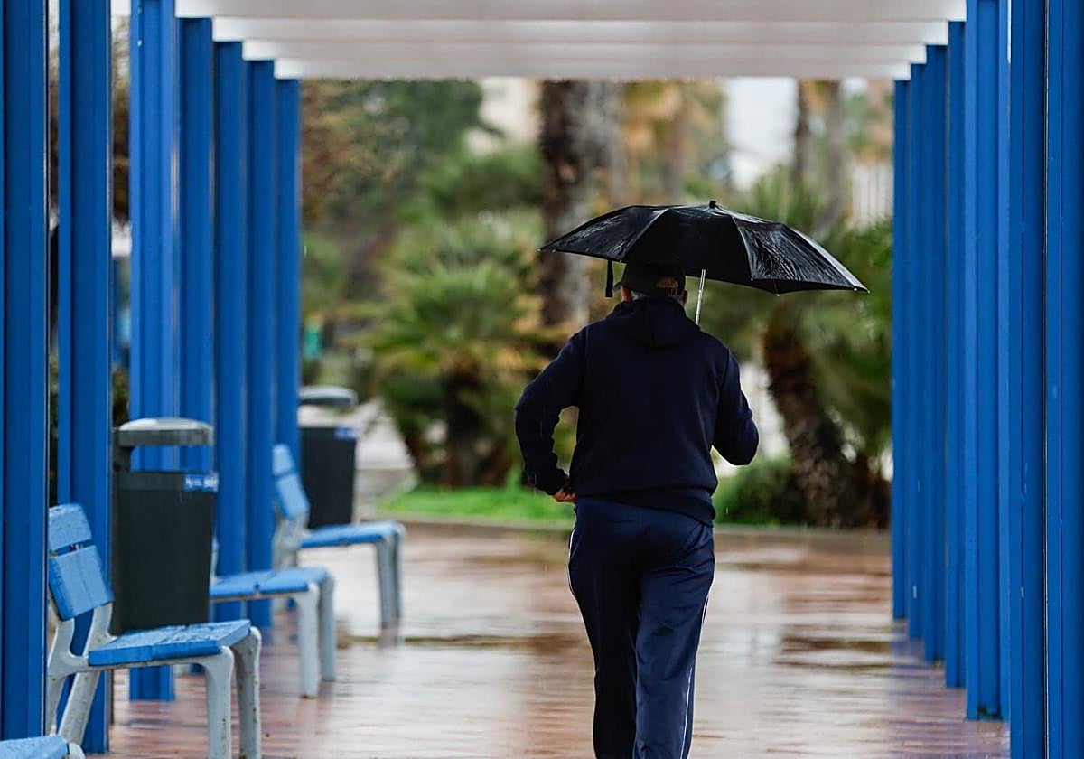
Malaga province is preparing for the arrival of a new storm on Tuesday, 3 February.
State meteorological agency Aemet has activated an amber alert for heavy rainfall in the interior of the province, with more than 150mm expected in 24 hours in the Serranía de Ronda on Wednesday.
The rest of the province has an active yellow warning for rain and an amber alert for coastal phenomena and wind.
The bigger map of Andalucía on Wednesday includes a red alert for dangerous rainfall in the province of Cadiz, where the village of Grazalema expects more than 200mm in 24 hours.
Storm Leonardo will mix up on Wednesday with an 'atmospheric river' - a concentrated corridor of tropical moisture originating in the Caribbean.
With the ground already saturated from the wettest winter since 2020, authorities are warning of a significant risk of river overflows and flash flooding.
Under a yellow warning will be the Axarquia district, the Costa del Sol, the Guadalhorce Valley and the Antequera district.
Between 40 and 60mm could accumulate in these areas of the province. Winds of up to 80km/h will also visit from the west, contributing to waves of up to three metres.
What is the 'atmospheric river' phenomenon that will collide with the umpteenth storm this winter? According to Aemet, "it is a relatively frequent phenomenon, which occurs when a mass of very humid and concentrated air comes across the Atlantic" from the Caribbean. This mass of water vapour is pushed by strong winds, hence the resemblance to a river.
250
mm
could fall in Grazalema, the Ronda mountain range and the area around the Strait of Gibraltar on Wednesday
This phenomenon will impact the province mainly on Wednesday, but also on Thursday and up to Friday, although with less intensity towards the end of the week. Rain is also expected over the weekend, although brought by a new storm on Sunday.
According to SUR weather expert José Luis Escudero, the 'atmospheric river' is a better forecast than a waterspout, but this does not mean that there is no possibility of floods. "It is possible that the Guadalhorce and the Antequera will also get a warning in following updates," he said.
The province's reservoirs will continue accumulating water, and may set a new record towards the end of the week.
Provisional weekend forecast
Aemet forecasts that widespread rain will continue through the first half of Thursday, 5 February, as mainland Spain remains under the influence of a moist westerly to south-westerly airflow. In addition, the cold front linked to storm Leonardo will sweep across the west and south of the country, bringing heavy downpours, most likely in parts of Extremadura, western Castilla-La Mancha and Andalucía. As this happens, the current warm, tropical air mass will gradually be replaced by colder air.
The most significant feature on Thursday is going to be the wind, with very strong gusts across much of Spain, except in the north-east. In mountainous areas of the southern half of the country and along exposed stretches of the Alboran coast, gusts could exceed 90 to 100km/h.
Although forecasts for the weekend are still uncertain, Leonardo is expected to weaken from Friday onwards, concentrating mostly on Galicia. Strong gusts and rough seas are still likely in other places in Spain, along with more rainfall in the southern third of mainland Spain.