Weather
Aemet activates yellow alerts for heavy rain, thunderstorms and possible tornadoes throughout Malaga province
Spain's state weather agency has issued the warnings for Wednesday due the arrival of a storm front from the Atlantic

Malaga
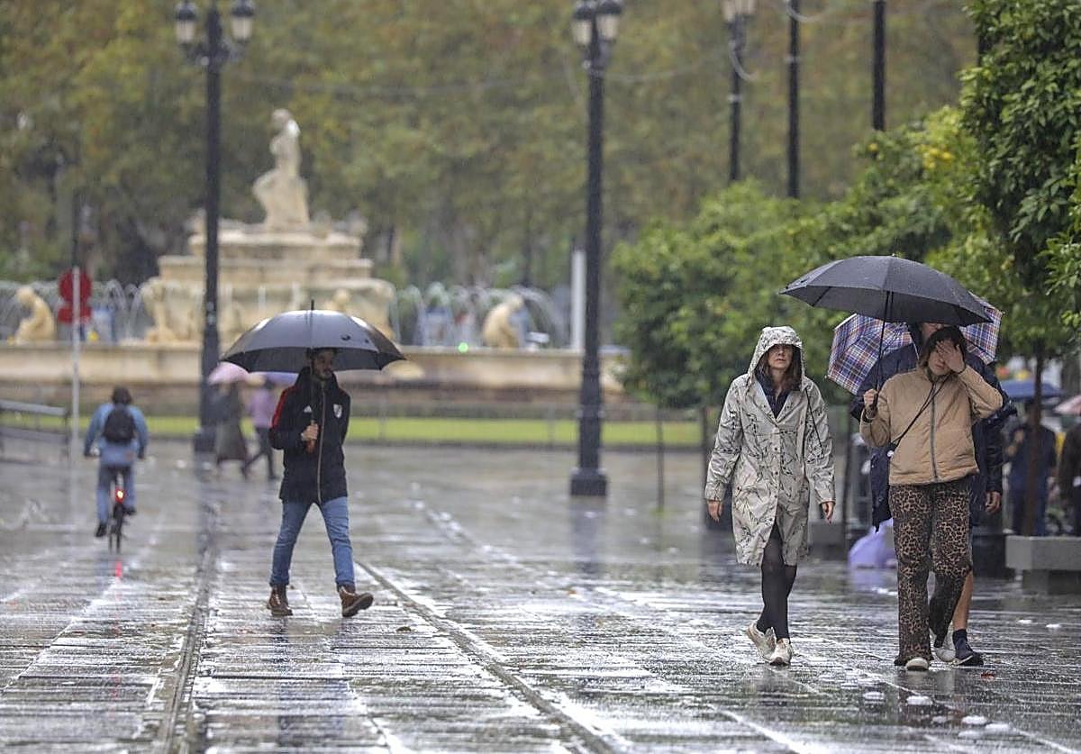
The arrival of a weather front from the Atlantic will mark the beginning of this first week of November, when rainfall is expected to affect the whole of Malaga province this Wednesday (5 November). Spain's state weather agency (Aemet) has raised the probability of heavy rain accompanied by thunderstorms in Malaga to 100%, mainly from 6pm tomorrow although in municipalities such as Ronda, Marbella, Estepona and Manilva it could start earlier from 12 midday. According to Aemet, rainfall will be widespread. In its latest update, Aemet has activated the yellow level risk warning throughout the province from six o'clock in the evening, without exception. Accumulated rainfall of up to 25mm, thunderstorms and "the formation of tornadoes is not ruled out".
"Tomorrow, Wednesday, an Atlantic trough will affect Andalucía with an associated front, leaving locally heavy rainfall with storms and very strong gusts in the western half," highlighted the state agency on its official X social media account. For now, Aemet in its latest update has activated amber warnings in Huelva and Seville - where accumulated rainfall of 30mm is expected - and yellow warnings in the province of Malaga. In addition, another warning will be in force on the coast of Cadiz for maximum gusts of wind of 70 kilometres per hour.
For the fifth of November, Aemet forecasts "cloudy skies with high clouds, increasing to overcast, with weak to moderate rainfall that will spread from west to east from midday onwards, more intense in the western half where it may be locally heavy and accompanied by storms".
"Tomorrow, Wednesday, an Atlantic trough will affect Andalucía with an associated front, leaving locally heavy rainfall with thunderstorms and very strong gusts in the western half"
"Weather models show that the frontal system will cross the Spanish mainland from west to east. This phenomenon will be reinforced by a trough at high altitude and by a river of humidity arriving from the Atlantic. In view of this, the maps show heavy rainfall in Galicia, extending to Castilla y León, Extremadura, Cantabrian regions, the western end of Castilla-La Mancha and the west of Andalucía on Wednesday", warned Samuel Biener, researcher, climatology disseminator and editor of the specialised website Meteored.
As for temperatures, the minimum daytime temperatures will fall on Thursday "by five or six degrees in general", according to Aemet. The state agency points out that the drop will be "more intense" around the Guadalquivir Valley and less noticeable on the coast of Malaga. Del Pino also specified that nighttime temperatures will also drop "about six degrees" between Thursday and Friday and will remain "with little change" until the end of the week. The maximum temperatures will range between 23 and 26C in Seville and Granada. Minimum temperatures will be between 12 and 18 degrees in Malaga and Cadiz. The wind will tend towards the south with strong intervals during the afternoon and occasional very strong gusts in the western half of the Andalucía region.