Weather
Train of storms at the start of December: four fronts to bring rain to Andalucía all week long
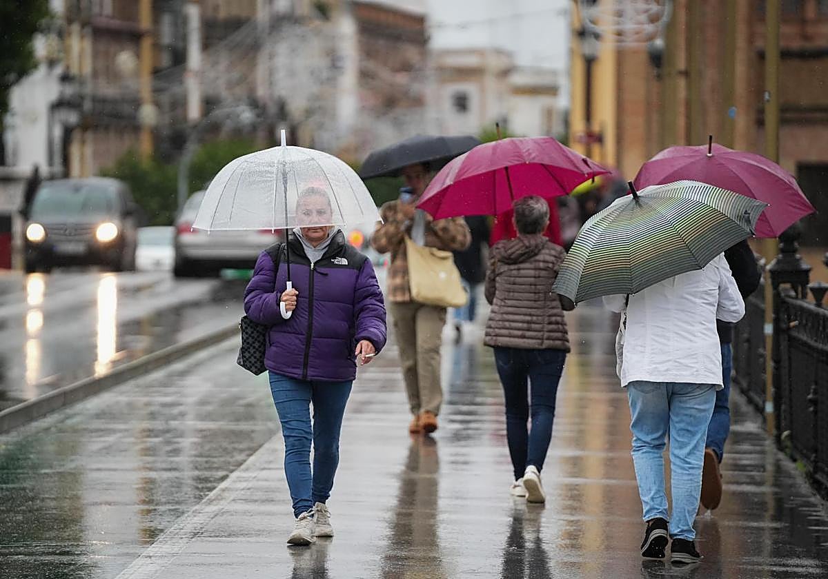
According to state meteorological agency Aemet's forecast, rainfall will be widespread throughout the region, especially between Tuesday and Saturday

Málaga
December comes with widespread rainfall in Spain. The unstable weather conditions were already present on Sunday in Andalucía, especially in the Strait of Gibraltar, which had an active yellow warning until 8pm. The region can expect a full week of clouds and rainfall, especially between Tuesday and Saturday, as state meteorological agency Aemet warns.
"According to the European model, the week will bring above-average rainfall across most of Spain, except for the eastern interior and the Canary Islands. [Monday] will be a transition day, with lingering instability over the Mediterranean and the arrival of an active cold front in the late hours. On Tuesday, showers will be nearly widespread with the establishment of a moist westerly and south-westerly flow. More than 10mm are expected in the western half of Andalucía," Duncan Wingen from expert weather portal Meteored says.
Over the next ten days, a train of storms originating from four fronts will distribute rain and snow over a large part of the country.
More than 10mm are expected in the western half of Andalucía on Tuesday
For Tuesday, Aemet forecasts "very cloudy or overcast skies, accompanied by light to moderate rainfall that will spread from west to east throughout the day". Snow levels will remain at around 2,000 metres, dropping to1,500 metres by the end of the day. Temperatures will fall in the interior. Weak frosts in the eastern mountainous areas and strong westerly intervals on the Mediterranean coast are expected from midday onwards.
Rain is also expected on Wednesday, especially during the first half of the day in most of Andalucía, Castilla-La Mancha and Madrid. The forecast points to a slightly more stable afternoon, although there will still be some clouds. Snow levels will drop to around 1,200 metres and temperatures will be in general decline.
What will the weather be like during the long weekend?
On Thursday, another active front will arrive from the north-west. The possibility of rain in Andalucía for that day will remain above 55% in most areas. Aemet forecasts "very cloudy skies, accompanied by light to moderate rainfall during the second half of the day, less likely on the Mediterranean coast".
Looking ahead to the long weekend (6 and 8 December are public holidays), there is still uncertainty as to what the weather will be like. The probability of rain on Friday is low, although Aemet forecasts more showers until 6pm on Saturday. In addition, temperatures could rise again as an even milder Atlantic air mass arrives.