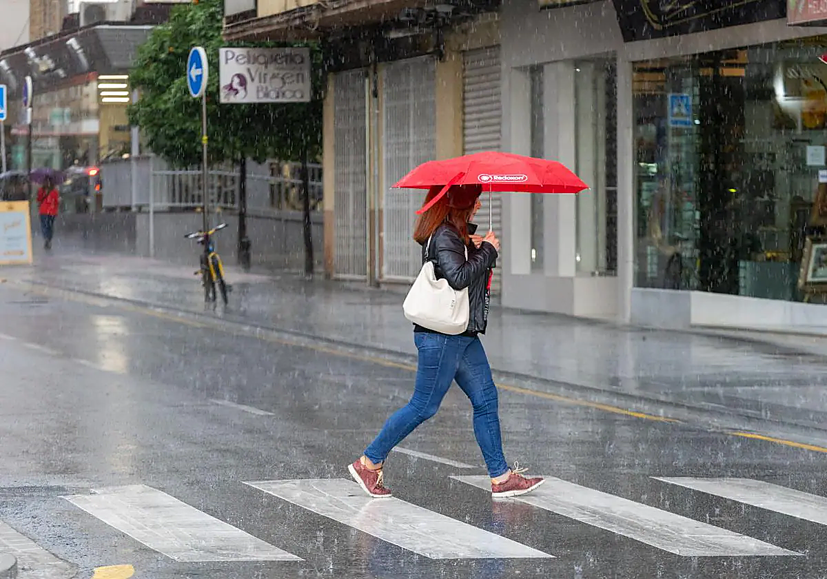
Storm Nelson unleashes heavy downpours, high winds and rough seas in Spain, but how much longer will it rain this Easter?
A new weather front is forecast to hit the Andalucía region on Friday, which will then give way to a new "Atlantic situation", according to Meteored
Alberto Flores
Granada
Thursday, 28 March 2024, 10:44
The last few days, almost since the start of Holy Week in Spain, have been marked by a winter storm that has brought with it rain, a sharp drop in temperatures and blustery conditions to many parts - including Andalucía in the south of the country. And the inclement weather is showing no signs of letting up, with similar conditions forecast this Thursday; where cold temperatures and rain will affect the whole region.
Storm Nelson is the culprit, causing more downpours and lower temperatures this Thursday, 28 March. Today is likely to be a transition day, with less rain than the rest of the week. But from Friday 29 March more rain is expected across the whole of mainland Spain.
La #BorrascaNelson dejará durante los próximos días lluvias, nevadas y vientos fuertes.
— AEMET (@AEMET_Esp) March 27, 2024
Actualizaremos diariamente nuestra predicción especial por #SemanaSanta hasta el día 30.
👉https://t.co/PsumLl4isb pic.twitter.com/CiKkSz0Sid
"The wet weather has complicated the situation for many Semana Santa processions this week , along with rather low maximum temperatures for this time of year," José Miguel Viñas, meteorologist at Meteored, told this newspaper yesterday.
"It is possible that the rains will remit and the skies will clear on Thursday, although it seems that it will not last long because on Friday a new storm will come in from the northwest," the expert pointed out. And this new storm "could bring a front that crosses the Spanish mainland" leaving more heavy downpours of rain. However, it is most likely this rainfall will not be as widespread or persistent as at the beginning of this week.
Looking ahead to the weekend, Friday's front will start to move away, although this will give way to "a new Atlantic situation". In other words, storms and rainfall will mark the whole of Saturday and Sunday, affecting the whole region and leaving one of the rainiest Holy Weeks in living memory.
Meanwhile, Spain's state weather agency (Aemet) has issued a special bulletin for the second half of this Easter holiday week, here it is in full:
Thursday 28 March: The extensive and deep storm Nelson will continue to be centred around the British Isles, inducing a southwesterly flow over the Spanish mainland and the Balearic Islands that will transport a mass of warmer air and the passage of successive Atlantic fronts that will leave cloudy skies and widespread precipitation . The Atlantic slope and the Pyrenees will be the most affected areas, with the most persistent and intense rainfall. On the contrary, in the Mediterranean area the probability and intensity of precipitation is much lower. Temperatures and snow levels are expected to continue rising, with snowfall being restricted to mountain areas in the north of the mainland. Wind wills blow from the southwest with very strong gusts in much of the country including the Balearic Islands and Ceuta. In the Canary Islands, the frequent cloudy intervals will continue at the end of the day when an Atlantic front will produce weak rainfall in the western islands. Temperatures will rise slightly and the wind will continue to blow from the west.
Friday 29 March to Sunday 31 March: Although with some uncertainty, and despite the fact that storm Nelson will weaken, generalised instability is expected to continue on the Spanish mainland and in the Balearic Islands, with the passage of successive Atlantic fronts that will give rise to practically widespread rainfall, with lower probability and intensity in the Mediterranean area. Snowfall is likely around the main mountain systems. The greatest deposits of rain will be on Friday in the strip from Navarra and Huesca to western Andalucía and on Saturday and Sunday in the south and southwest of the mainland. On Sunday, rain will also be likely in the Mediterranean area. Temperatures will drop again, from west to east, between Friday and Saturday, while on Sunday they should not register significant changes. The winds will predominate from the south and southwest, losing some intensity compared to the previous days, but still with probable very strong gusts in the surrounding areas of the mountain systems and the southeast half of the mainland on Friday, although they are not ruled out on the rest of the days. In the Canary Islands, the passage of Atlantic fronts is also expected to continue, leaving generally weak rainfall, more likely in the north of the islands, insignificant thermal changes and westerly winds with locally strong intervals.
Monday 1 April: Storm Nelson is likely to be considerably weaker, so it should produce less adverse weather. Rainfall is still probable in much of the Spanish mainland but at a lower intensity, except in western Galicia where more heavy rainfall is expected. In the Mediterranean area and the Canary Islands they will be unlikely. The wind is also expected to be more moderate, with strong gusts in the northern and eastern thirds of the mainland and in the Balearic Islands.
