Weather
Experts warn of very heavy downpours with muddy rain and hail this week in these parts of Spain
From today, a 'Dana' weather system will approach the country from the Atlantic which will cause an increase in instability, according to Aemet spokesperson Rubén del Campo

Malaga
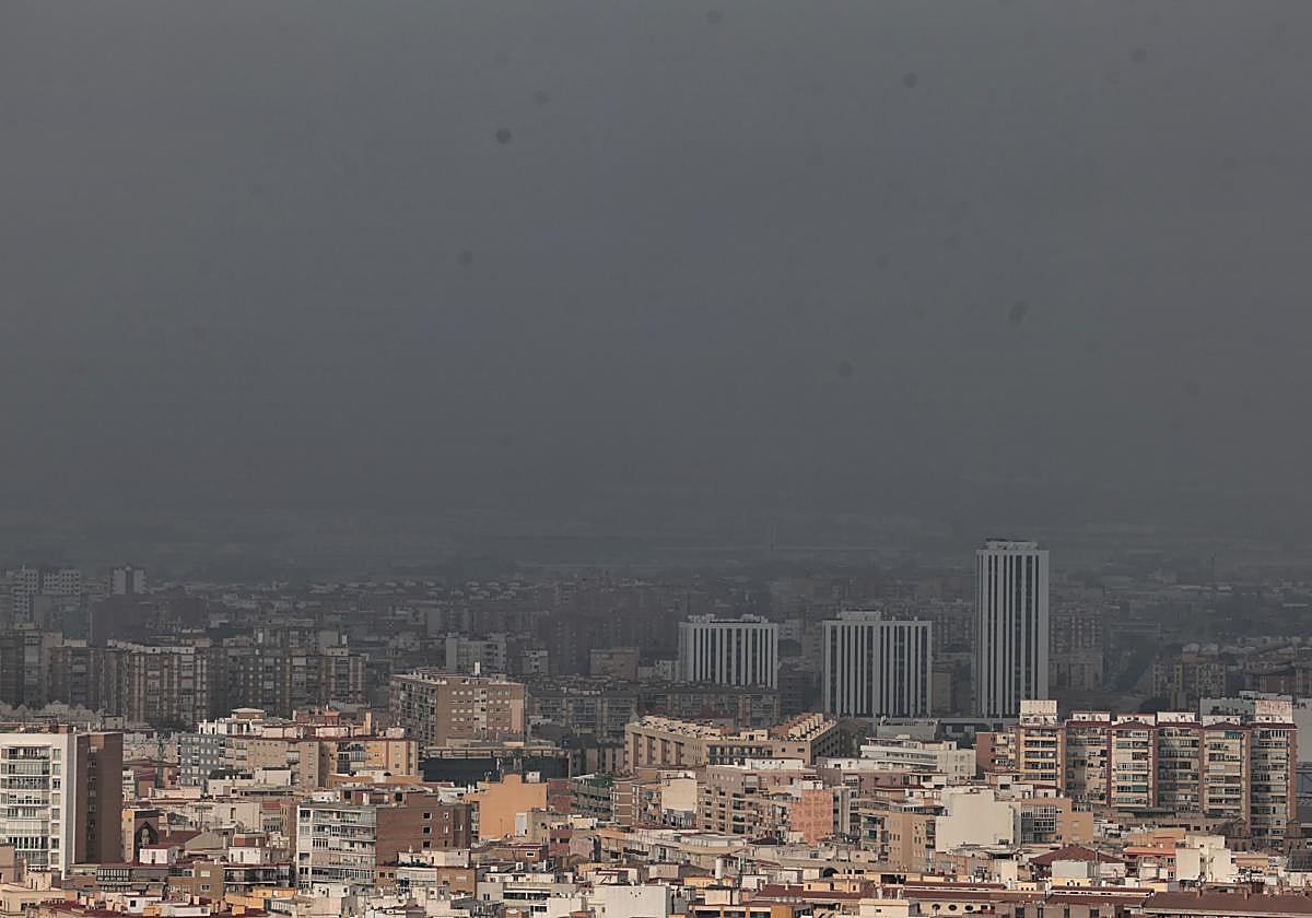
There is a new change in the weather in Andalucía in the south of Spain. After a stiflingly hot Sunday - with highs above 42C in Seville and Cordoba - this second week of June begins with instability in the region, where a 'Dana' could bring stormy showers in inland areas, which could be locally heavy and accompanied by hail and intense gusts of wind. At the moment, Spain's state meteorological agency (Aemet) spokesperson, Rubén del Campo is warning that there will be heavy rain and thunderstorms in many areas of Spain. "These showers will be more likely and intense between Tuesday and Thursday, days in which there will also be a drop in temperatures" he said.
Five Andalusian provinces are under weather alerts this Tuesday
Today, Tuesday, a weather system will approach the country from the Atlantic, which will cause an increase in instability," warned the Aemet spokesperson. As a result, storms are expected from midday in large areas of the interior of the Spanish mainland. In the Andalucia region, the state weather authority forecasts "cloudy skies with a predominance of medium and high clouds, without ruling out occasional showers that may be accompanied by storms and mud deposits, generally weak". For the moment, Aemet has activated heat warnings in four provinces (Cordoba, Granada, Jaen and Seville), while in Cadiz the area of the Strait of Gibraltar will be on yellow alert - between 6am and 12 noon - for winds of 50 to 61 km/h (force 7) around Tarifa and offshore to the west of the area.
Wednesday will once again be an unstable day due to the presence of the previous day's 'Dana' around the country. The Aemet spokesperson has specified that showers will be repeated in large areas of the interior of the Spanish mainland, which will be locally heavy and with hail. Intense gusts of wind will also be recorded. These storms are most likely to occur in the central and northern half of the country.
Next weekend
"In this first part of the week, stormy downpours will gain prominence over the intense heat due to the approach of the 'Dana' that formed a few days ago in the subtropical Atlantic. We will once again be talking about locally heavy rain, lightning, hailstorms and blowouts in several communities", stressed Samuel Biener, climatology researcher and editor of the Meteored portal. "They will be more likely in Andalucía, Castile-La Mancha, Madrid, Castile y Leon, La Rioja, Navarre, the Cantabrian slope and Galicia. On another day, we will also have to watch out for gales and hail, which will be distributed by several of these convective nuclei", he added.
According to Aemet, a general recovery in temperatures will begin on Thursday. On Friday there will again be values of between 5 and 10C above normal for the time of year in areas of the northern half and southeast and more than 36C in the Ebro and Guadalquivir valleys. The spokesperson for the state agency indicates that the instability will gradually move away to recover the good weather for the weekend.