A rare glimpse into the past of Torremolinos
The exhibition consists of over fifty documents with references to Torremolinos that date from 1634 to 1920
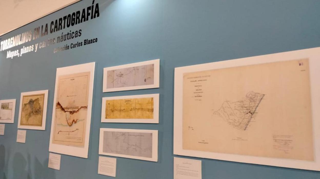

Torremolinos is hosting a special exhibition of rare documents, maps, plans and nautical charts that records the municipality's history from the 17th until the 20th century.
The collection, which is on show on the first floor of the town hall in Plaza Blas Infante, consists of more than 50 documents, with references to the town, which belong to the local historian, Carlos Blanco Cabrera.
One of the most striking documents is a map from the 17th century on which the municipality of Torremolinos appears for the first time.
Other interesting items include a 17th century map commissioned by King Philip IV describing the coasts and ports of Spain, which was considered a "state secret" and guarded as a strategic weapon for the defence of the nation.
Another is an 18th century thematic map that provides information on the water systems of Torremolinos. This was designed to stop enemies taking advantage of the supply, as happened in 1704, when Admiral Rooke ordered Torremolinos to be razed to the ground in an effort to gain control over the town's water.
Cabrera began to collect the old plans and charts more than thirty years ago and has expanded his collection to include documents from 1634 to 1920, which record the different toponyms with which the town has been known over the centuries.
The exhibition is open from 9.30am until 1.30pm Monday to Friday (except holidays) until 18 November.