'Radical' weather change set to bring some abundant rain to Spain next week
The warm blocking anticyclone causing the current summer-like weather will move away and allow for Atlantic storms and moisture-laden air that will bring more autumnal temperatures and precipitation - according to Meteored experts
SUR
Malaga
Thursday, 12 October 2023, 07:17
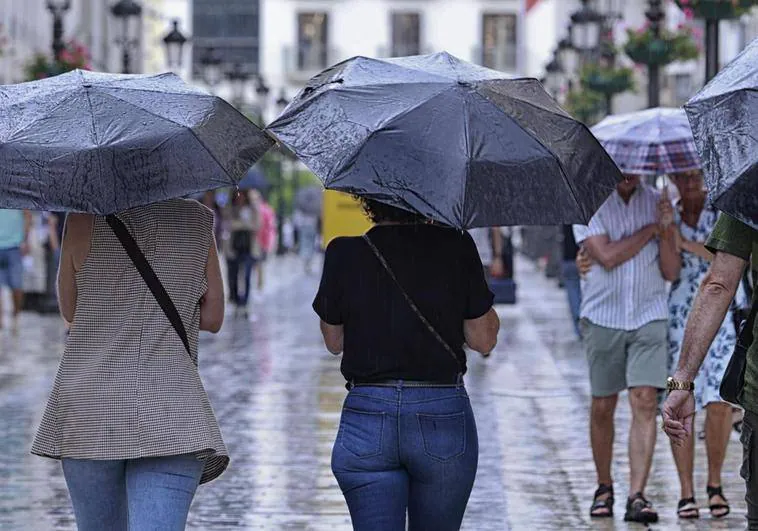
The unseasonal high temperatures that have so far dominated this summer-like October could have their days numbered.
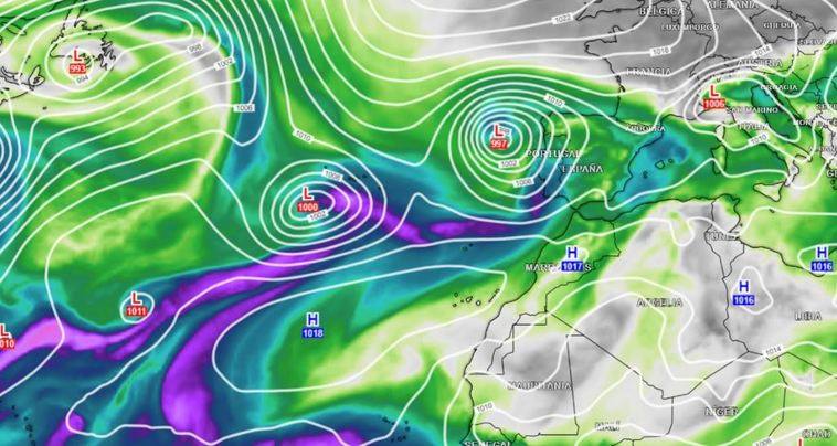
Experts from the Meteored weather portal point out that the forecast suggests that from the end of this week Atlantic storms will move in over northern Spain and at lower latitudes. "The storms will interact with other tropical and subtropical lows, which will allow the generation of atmospheric rivers of humidity," said meteorologist Francisco Martin.
With this change in the atmospheric pattern, Meteored forecasts a "radical change" in the weather to a more autumnal one with abundant rainfall associated with these Atlantic squalls entering from the west.
"From 13 October, the blocking anticyclone that has brought unseasonably high autumnal temperatures will move northwards. Temperatures will then normalise and Atlantic precipitation will affect us, with the possibility of heavy rainfall in some regions," Meteored added.
Zoom
Martin said: "The signs are that the Atlantic storms will enter in the form of a 'storm train'. It is difficult to predict beyond Sunday 15 October where, when and how much it will rain, but these situations tend to be quite stationary and promising".