Freezing weather across Spain puts 21 provinces on alert today
But the worst is yet to come, predicts Juan de Dios del Pin, the Aemet weather agency’s delegate in Andalucía
ISABEL MÉNDEZ
MALAGA
At a national level, the freezing cold snap will put 21 provinces of the Spanish mainland on alert this Wednesday (25 January), with widespread frosts in the interior of the country, more intense in high areas, according to the forecast from the state weather agency Aemet.
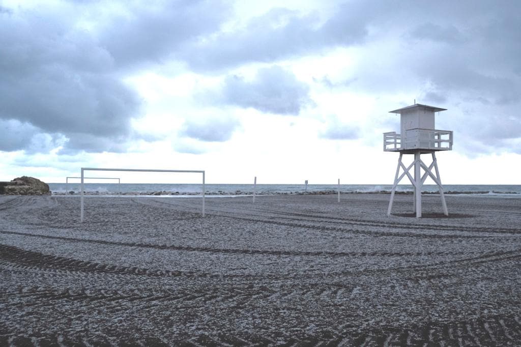
In addition to Cordoba, Granada and Malaga in the Andalucía region, Huesca, Zaragoza, Ávila, Burgos, León, Palencia, Salamanca, Segovia, Soria, Zamora, Ciudad Real, Toledo, Girona, Lleida, Ourense, Madrid, Navarra and La Rioja will be in risk (yellow) due to the cold, while Girona, Tarragona and Alicante will have a weather warning due to high waves, as will Barcelona, which will also be at risk due to high winds.
Noticia Relacionada
-
 Isabel Méndez / Eugenio Cabezas
In general, the maximum temperatures will rise in the centre and eastern third of the peninsula, and the minimums will increase slightly in the east of the peninsula, the Balearic Islands, Cantabria and Galicia, as well as decrease in the rest of the mainland.
But the worst is yet to come, according to regional delegate of Aemet in Andalucía, Ceuta and Melilla, Juan de Dios del Pino, although the weather will be stable, this week will be marked by an anticyclone that "ends south of the Scandinavian mainland" and its location "will mean that a mass of cold and dry air will enter Spain”.
The maximum temperatures will be relatively low for this time of year both in inland and the Mediterranean areas, but "they will not be exceptionally cold". It is the same with the minimums, "with widespread frost in the eastern mountains, but also in the Pedroche valley , the Sevillian northern sierra and the Sierra de Ronda”, although "the coldest day will be Thursday" since frost could occur at medium levels. Del Pino pointed out that in these areas the minimum will be below 0 degrees.
Regarding the probability of rain, a cloudy band is expected to enter the Atlantic on Thursday and that, "although as it crosses the mainland it will lose activity", it could reach the south and "leave precipitation in the Betic mountain ranges, where it could snow at points above 700 metres.
Looking ahead to Friday and Saturday, the regional delegate of Aemet in Andalucía said that "little cloudiness is expected" and on Sunday "there could be an increase in cloudiness, with the probability of showers on the Mediterranean coast."