Weather
Aemet warns of dramatic change in weather in Spain with rain, freezing cold and snow in these areas
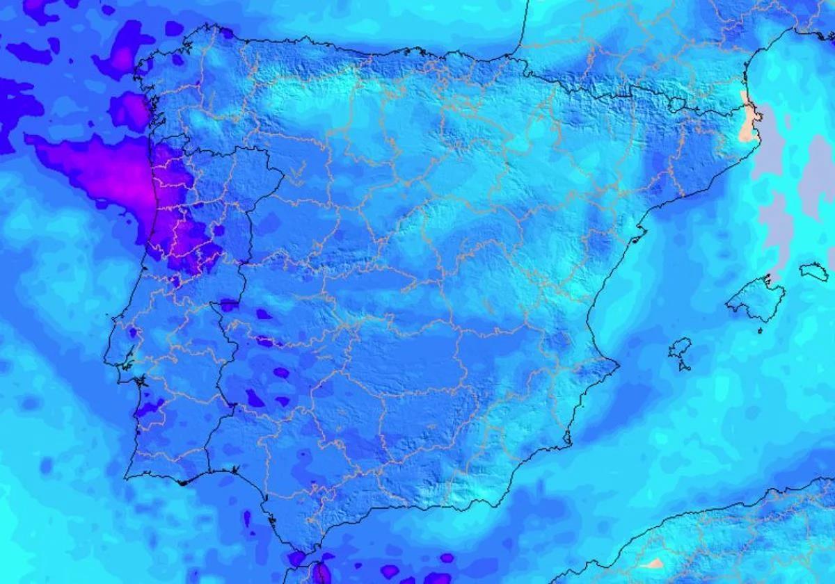
A cold air mass is expected to cause a drop in temperatures in the next few hours, leaving a blanket of white in some parts of the Spanish mainland

Madrid
After a few days of unsettled weather, the arrival of an anticyclone has brought some calm back to Spain, accompanied by an intense drop in temperatures. This situation of stability will not last long, since, as confirmed by the state meteorological agency (Aemet), the next few days will once again be marked by rain and cold in many areas of the Spanish mainland.
From this Wednesday, along with the sun, there will also be numerous frosts in most of the country, leaving a freezing and wintry feel almost everywhere. In some areas, thermometers will drop to below freezing and we will have snow in some mountain ranges on the mainland.
🥶 El cambio de tiempo asoma.
— Meteored | tiempo.com (@MeteoredES) February 3, 2025
🅰️ El bloqueo escandinavo abrirá la puerta 🚪 a una masa de aire frío provocando un bajón térmico prácticamente generalizado. 🌡️📉
👇 @samuel_biener tiene todos los detalles. https://t.co/h47LiHvAAa pic.twitter.com/eSGwdYjpdH
The situation will change from the weekend onwards with the arrival of more precipitation, which, together with the cold weather expected over most of the country, will leave new snowfalls.
Cold weather returns: frost spreads to these parts of Spain
Although sunny and stable weather is expected throughout most of Spain, Aemet experts have already warned that in the next few hours the cold will return to many parts of the country. In this way, we will leave behind the rains to give way to an anticyclone that will make this week "colder than usual for the season", bringing back the winter atmosphere.
The minimum temperatures, which began to fall on Tuesday, will continue to fall this Wednesday, with frosts that could extend to almost the entire mainland and will become more intense throughout the week. The worst is expected to be felt in inland areas in the northern half of the country, as well as in the southeastern mountains of the southern plateau.
Predicción semanal:
— AEMET (@AEMET_Esp) February 3, 2025
Hoy: 🌧️chubascos en el sur de Andalucía, Ceuta y Melilla que podrían ser fuertes o muy fuertes; ❄️nieve en el entorno de Sierra Nevada.
De martes a viernes: 🌞predominio de sol; nieblas en la cuenca del Duero; heladas en la mitad norte peninsular.
Hilo 🧵👇 pic.twitter.com/RkRtU4PQwv
According to the state weather agency, the frosts will be heavy in the Cantabrian Mountains, Pyrenees, Iberian and in areas of the northern plateau. Meanwhile, in many provincial capitals such as Burgos, Teruel and Soria, minimum temperatures could drop to -3C or -4C throughout Wednesday and Thursday. In addition, in the highest areas the thermometers could drop below -6 degrees.
In the next few days we could also see some snowfall in the southeastern mountain ranges. In these areas, the snow level will be around 1,300 and 1,600 metres and cold warnings could even be activated in León, Soria and Zamora, according to Aemet.
Rain and snow for the weekend in Spain
As we approach the weekend, the situation could even worsen with the arrival of more cold and new rainfall in Spain, leaving a wintry weekend in most of the country. Although no significant precipitation is expected until Friday, the entry of an Atlantic front over Galicia will again bring rain to the far northwest.
Everything suggests that the cold weather will continue throughout the weekend and could even intensify with the arrival of a colder air mass from inland Europe. According to Aemet, "in the extreme north-east of the Spanish mainland, precipitation could be snow ️ at low altitudes". New snowfalls are not ruled out in the Pyrenees, where snowfall could exceed 20 cm.
🚆🥶 Una masa de aire frío cruzará Europa desde el noroeste de #Rusia.
— Meteored | tiempo.com (@MeteoredES) February 4, 2025
🕛 Salida: jueves.
🕕 Llegada: sábado.
🌡️📉 ¡Atención al desplome térmico!
👇 @samuel_biener nos lo cuenta. https://t.co/lH3ypF8Jtg pic.twitter.com/waIozaj3Xn
Still with much uncertainty about what will happen on Saturday and Sunday, weather forecasters such as eltiempo.es warn that "the presence of low pressure in the Mediterranean will favour rainfall in the east of the mainland and especially in the Balearic Islands", adding to the rain from the Atlantic.