Weather
Yellow weather alert in Malaga province: localised downpour in Cártama and around 40mm in Malaga
The warning issued by the national meteorological agency Aemet for heavy rainfall and rough seas remains active

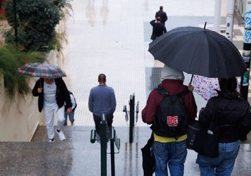
The national meteorological agency (Aemet) is keeping the yellow alert in the province of Malaga active throughout Friday and Saturday, not only for heavy rain, but also for waves and rough seas.
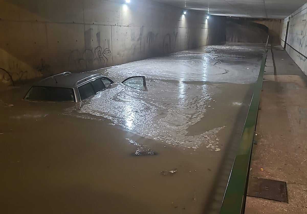
This latest spell has been a very irregular one, with hyperlocalised downpours, such as the one that happened at midnight in the area of Cártama and Bajo Guadalhorce, which left concentrated flooding. Some domestic rain gauges reported up to 125mm in a few hours. These measurements have to be taken with caution, but they are plausible in the overall context of several similar reports and a weather map that marked a very concentrated rainfall.
Related story
In the Cártama neighbourhood of El Sexmo and Cártama Estación, near the Prolongo tunnel, there was flooding. Several drivers have reported water accumulation in other areas such as the Coín road, between Alhaurín de la Torre and Churriana.
Uneven distribution
The Malaga Airport Aemet station recorded 40mm early on Friday morning. At the same time, the port barely registered 1mm. This is the greatest evidence of the irregularity of the rainfall. In Teatinos, for example, 32mm were recorded, according to Aemet. All three locations within the same municipality.
More examples of the unevenness of the downpour - at the Casasola reservoir, on the Campanillas river, 20mm were measured, while El Limonero barely recorded a tenth of a litre.
SUR's weather expert José Luis Escudero reported the sporadic showers in Malaga city that started on Thursday evening. "In some places, not much or even none at all. But the curious thing is that, just a few kilometres away, it rained heavily in Churriana, Campanillas, the airport and Centro Meteorológico de Teatinos," he said.
"This was caused by convective clouds formed by strong upward currents of warm, humid air; interestingly, we haven't had any storms," Escudero explained.
The Storm Málaga page on social media confirmed this phenomenon and provided graphic proof that shows how concentrated the rainfall was in a narrow strip of land. The numerous testimonies sent to SUR also confirm this.
Isolated high altitude depression
For the moment, the rainfall has not contributed to the province's reservoirs, which are recording discrete figures, with levels remaining at the 277 million cubic metres of last week. Nor have there been any notable rises in rivers. Runoff flows are formed, but they are not very significant. There is no risk or warnings for the moment, according to information on the Hidrosur website.
According to forecasts, the rains will not leave the province until the middle of next week. "This isolated high trough will continue to generate unstable weather in Andalucía on Sunday and Monday. Probably on Tuesday, another high altitude depression will arrive."