Weather
What does the weather have in store on the Costa del Sol and across Malaga province today?
On the first day of the meteorological autumn, state weather agency Aemet is forecasting a generalised drop in temperatures in Spain and thunderstorms and showers in some areas

Malaga
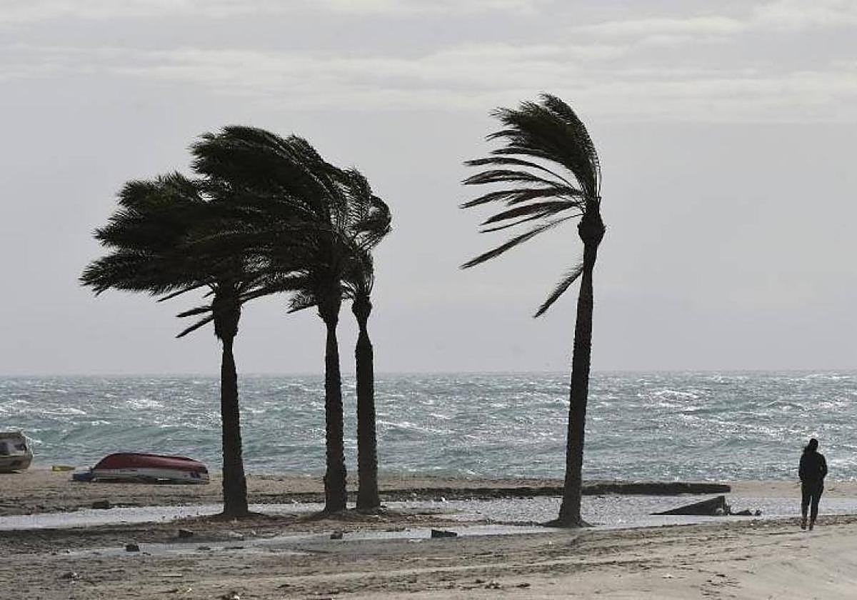
The strong gusts of wind that are expected and the warm, inland 'terral' wind will be the main features of the weather in Malaga province this 1 September, the day on which the meteorological autumn also begins (but not the astronomical one, which starts on 22 September). Despite the 'terral' wind, the temperatures will not be too high, according to the forecasts of Spain's state meteorological agency (Aemet), and in fact they will be lower than at the weekend. For example, in Malaga city the mercury is not expected to climb above 30C while in Marbella the maximum will be 31 degrees. There will also be a drop in inland areas, and in Álora it will also be 30C, while in the Ronda and Antequera areas the maximum temperatures are expected to be 25 and 27C, respectively.
The skies this Monday will be slightly cloudy, with intervals of high clouds and the winds will blow moderately from the northwest, with occasional strong westerlies on the coast, according to the Aemet forecast.
There will also be a sharp drop "practically across the board" throughout the country, and the weather fronts will leave "locally heavy" showers, according to the forecast from the state meteorological agency. As Europa Press reports, the influence of a front ending by crossing the eastern Mediterranean area and the approach of another from the northwest will result in cloudy skies with showers and thunderstorms in the northeast, which may "be locally very strong and with hail in the Pyrenees and eastern Catalonia in the first half of the day".
The skies will be cloudy or overcast in most of Galicia and the surrounding area from the early hours of the morning, with precipitation extending to the Cantabrian Sea.
Abundant cloud cover
Likewise, there will be abundant cloudiness in the northwest and northern half of the mainland and the Balearic Islands, with scattered showers likely in the mountains of the far north and, accompanied by thunderstorms, in Catalonia, eastern Iberia, the Balearic Islands and, in the late hours, along the Valencian coast. Showers may be locally heavy in the east of the Balearic Islands.
Likewise, Aemet expects cloudy or partly cloudy skies to prevail in the rest of the areas, with low morning clouds in the mountains of the northern half, while in the Canary Islands there will be cloudy skies in the northeast, with probable light rainfall in the mountainous islands and partly cloudy in the rest of the islands.
As for temperatures, these fronts will bring generalised drops on the Spanish mainland and in the Balearic Islands, except for increases on the southeast coast and in the south of the Balearic Islands, and no changes in Galicia and the Cantabrian Sea. As a result, cities such as Teruel will have 21C, Badajoz 23C while Santander, Palencia and Cuenca will not exceed maximums of 24C.
The maximum temperatures will be "noticeably" lower in large inland areas of the eastern half of the Spanish mainland and are not expected to exceed 34C in almost all the Mediterranean area. Provincial capitals such as Alicante, Toledo, Tarragona, Seville, Valencia, Zaragoza and Jaén will have temperatures at or below 31 degrees.