Weather
Temperatures will fall this Monday in most of Spain, but remain high and above 30C in these areas
As many as seven regions will face yellow warnings for rain and thunderstorms today, especially from around 2pm until the end of the day
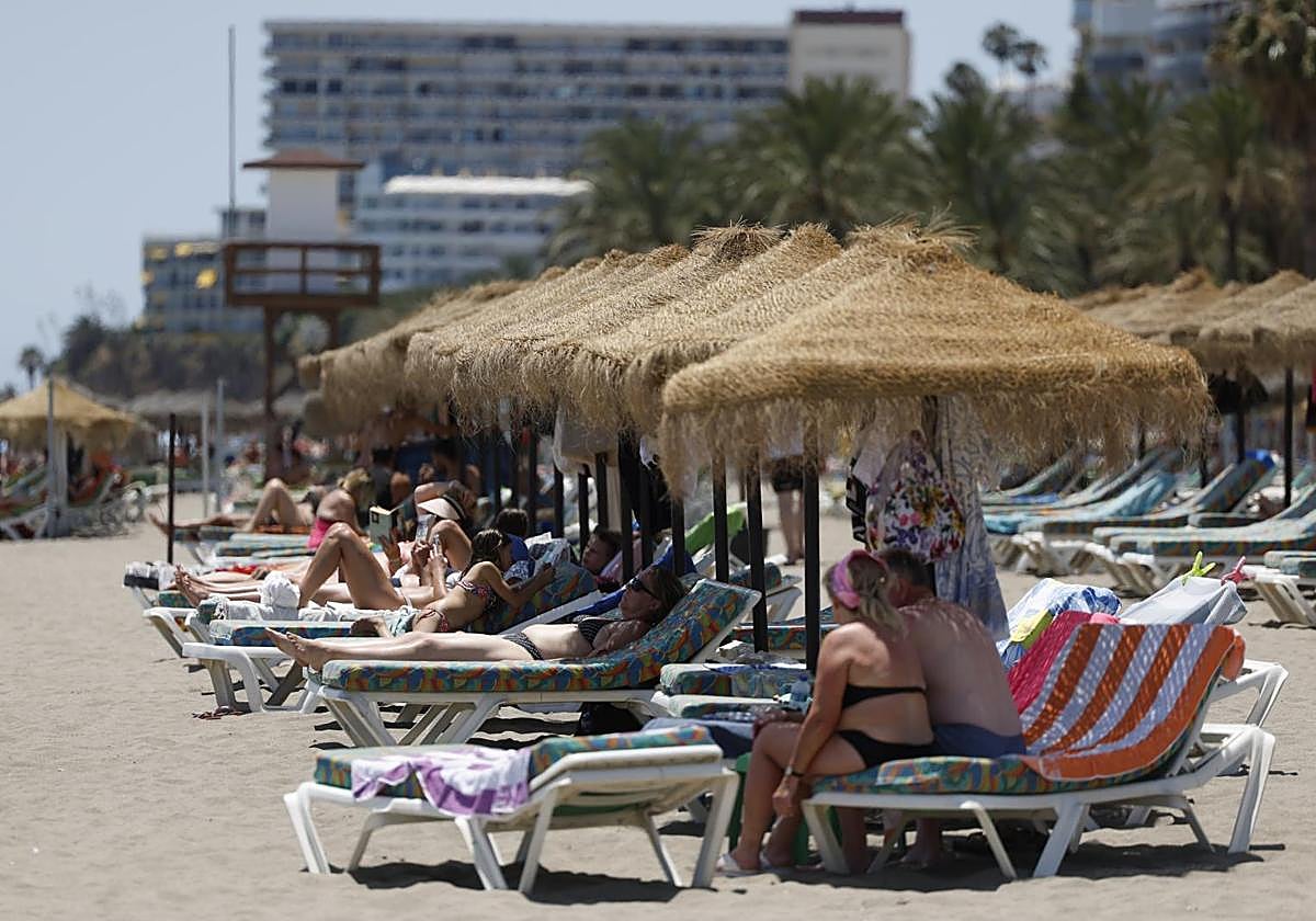

Malaga
After a weekend in which Spain's state meteorological agency activated several heat warnings, the entry this Monday of an Atlantic trough will move the mass of warm air towards the Mediterranean and temperatures will drop across most of Spain, with the exception of Andalucía, among other places.
In the southernmost region of the country, thermometers will remain above 30C. However, the weather alerts for temperatures of up to 40 degrees in Cordoba, Jaen and Seville activated on Sunday will be deactivated, Aemet forecasts maximum temperatures of 33C in Malaga province, where a hot night with a minimum of 22C is expected; 35C in Granada; 34 degrees in Jaen; 32 in Cordoba and Seville; 28C in Almeria, and 25 degrees in Cadiz. In other parts of Spain, such as Toledo and Albacete, highs of 34C are also expected.
In the rest of Spain, maximum temperatures will experience significant drops compared to those recorded during the past week. Provinces such as Barcelona (28C), Ourense (27) or Ávila (26C, where temperatures will fall by up to four degrees compared to Sunday) will remain below 30C.
Rain and thunderstorms warnings
As many as seven regions of Spain - Aragón, Castilla y León, Castilla-La Mancha, Navarra, País Vasco and La Rioja - will face yellow warnings for rain and thunderstorms, especially in the early afternoon (around 2pm and until the end of the day).
In Galicia, the Cantabrian Sea and the upper Ebro areas, cloudy or overcast skies are expected, with low morning clouds in the southwest and medium and high clouds in the rest. From midday onwards, clouds will gather inland.
From the early hours and extending southwards, rain and thunderstorms are likely in the far north, the northern plateau, the Iberian Peninsula and extensive surrounding areas. Locally heavy showers are expected in the eastern Cantabrian Sea, upper Ebro, Pyrenees, Iberia and north-east of the Meseta. With a margin of uncertainty, they could affect other areas, even in the form of dry storms with very strong gusts.
The weather in the Balearic Islands will be dominated by high clouds and the Canary Islands by medium and high clouds, with intervals of low clouds in the north, without ruling out isolated showers in the mountainous islands. Temperatures in the archipelagos will range between 26C maximum and 19 degrees minimum (in the case of the Canary Islands) and 34C for the Balearic Islands (with minimum temperatures around 20 degrees Celsius).
Finally, westerly winds will blow in Alborán sea area off the Costa del Sol, north and east in Galicia, the Cantabrian Sea, the northern plateau and the eastern Mediterranean area, south and west in the rest of the Atlantic slope and east in the eastern third, as well as the trade wind in the Canary Islands. There may be intervals of strong winds in the Rías Baixas, the Strait of Gibraltar and the Balearic Sea coasts, while they will be light in the rest of the area.