Weather
Storm Ivo takes over from Herminia: a cold front arrives but it will bring little rain to Malaga
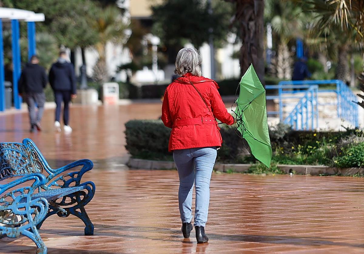
Some more rain is expected in the province this Wednesday, especially in the afternoon, but on Thursday there will be hardly any at all
Enrique Miranda / Europa Press
Malaga
After the departure of Herminia, the ninth storm of great impact of this winter, Ivo, arrives, which from this Wednesday will leave abundant rain, strong wind and rough seas around practically the whole of Spain. The state meteorological agency (Aemet) highlights the drop in snow levels and the cold after its passage, although in Malaga province it will not be as significant as in the rest of the country. A cold front is expected to cause temperatures to drop from a maximum of 19C in the capital of the Costa del Sol to 17 degrees, with minimum temperatures reaching 9 degrees this week. While on the coast this drop in temperatures will be more moderate, in inland areas such as Ronda and Antequera it will be noticeable with minimum temperatures of around 1 or 2C.
What about the rains? If Herminia has not been very noticeable in terms of rainfall, Ivo will leave hardly any much-needed water either. Some more rain is expected this Wednesday in Malaga province, especially in the afternoon, but on Thursday there will be hardly any.
Del Campo has detailed that a front associated with this new storm will leave rainfall across much of the Spanish mainland, but not the Mediterranean area or the Balearic Islands. By areas, the rains will be abundant in the west of the Peninsula, especially in Galicia. In addition, snow will fall from 1,200 to 1,400 metres above sea level. Above this level, snowfall will be heavy in the Pyrenees and in the Cantabrian Mountains, where more than ten centimetres of snow may accumulate in less than 24 hours.
Likewise, the wind will pick up and will blow with very strong gusts, even hurricane force winds again in the northwest of the Spanish mainland, i.e. in Galicia, the Cantabrian Sea, and also in parts of Castilla y León. In the rest of the country, it will do so with strong or very strong gusts. As a result, waves on the coast may exceed seven metres along the northern coasts. Temperatures will also continue to fall on this day.
After the passage of the front, Del Campo has said that a mass of very cold air will arrive on Thursday driven by northerly winds, which will also be humid. This will give rise to persistent rainfall in the far north of the mainland, while in the rest of the country there will be possible showers that will gradually become more limited to mountain areas.
An anticyclone on Friday
After storm Ivo, the anticyclone will gain ground on Friday, which will stabilise the atmosphere and leave a weekend without precipitation in most of the territory. Even so, the Aemet spokesperson specified that during the weekend - especially on Friday, but also on the following days - it could rain lightly in the far north and above all there will be showers in parts of the Balearic Islands, where rainfall could be locally heavy. During the day, some showers are not ruled out on Friday in the Mediterranean area of the peninsula.
The skies will be generally clearer in the rest of the territory and the winds will be lighter, although they will blow with intensity in the northeast, which will cause night temperatures to drop sharply. As a result, Del Campo has said that there will be frosts at dawn and in the morning in large areas of the interior of the Spanish mainland from Friday and during the weekend.