Spain's Met Office activates yellow weather warning for the Costa del Sol
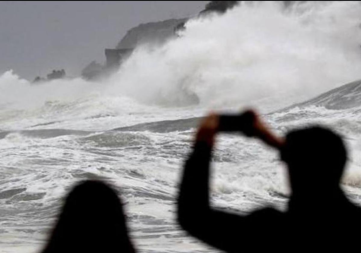
State agency Aemet has forecast three-metre-high waves along the coast and Force 7 winds, together with minimum and maximum temperatures "high for the time of year", between 5 and 10C above normal

The weather is becoming more complicated in the run-up to Holy Week and Easter on the Costa del Sol and across Malaga province.
The arrival of a 'Dana' (high-level depression) located in the Atlantic will bring rain and and thunderstorms to many areas of the Spanish mainland from today (Wednesday 20 March).
-kNfG--366x256@Diario%20Sur.jpeg)
In the case of Malaga city, the state weather agency, Aemet, has raised the probability of rain to 80% throughout the day, a percentage that rises to 100% from the early hours of the morning until 6.00 am on Thursday. Additionally, on Friday, the Spanish Met Office has activated a yellow warning for coastal phenomena in the province.
"As the latitude of the 'Dana' drops when it heads towards the Canary Islands, we will have strong easterly winds on the coast, which will bring with them three-metre-high waves and gusts of 50 and 60 kilometres per hour (Force 7)", detailed the local weather expert José Luis Escudero on his SUR blog 'Tormentos y Rayos' (Thunder and Lightning).
This yellow weather warning will initially be in force between 6am and 8pm on 22 March in Malaga city, the western strip of the Costa del Sol area, the Guadalhorce Valley and the Axarquia coast.
The forecast also points to a rise in temperatures with minimum temperatures of 16C and maximum temperatures of 25 degrees in Malaga city. A similar temperature situation is forecast for Saturday, when the mercury will move between 18C and 25 degrees. From Sunday onwards, the temperatures will decrease and both minimum and maximum temperatures will drop, a decline that will be more noticeable from Easter Monday onwards.
From next week onwards, uncertainty over the weather forecast is still very high, given the difficulty involved in modelling a 'Dana'. As explained by the Aemet spokesperson, Rubén del Campo, the greatest probability of rain on Monday will be in the extreme north of the Spanish mainland, "although showers cannot be ruled out in other parts of the interior or in the southeast of the country".
As for temperatures, del Campo stressed that they will continue to be "high for the time of year", between 5 and 10C above normal "with values more typical of the second half of May in large parts of the country". However, he pointed out that everything points to them dropping to normal "at the end of the week and the beginning of next week". "In cities such as Almeria, Badajoz, Cordoba, Granada and Seville it will be around 30 degrees," he said.