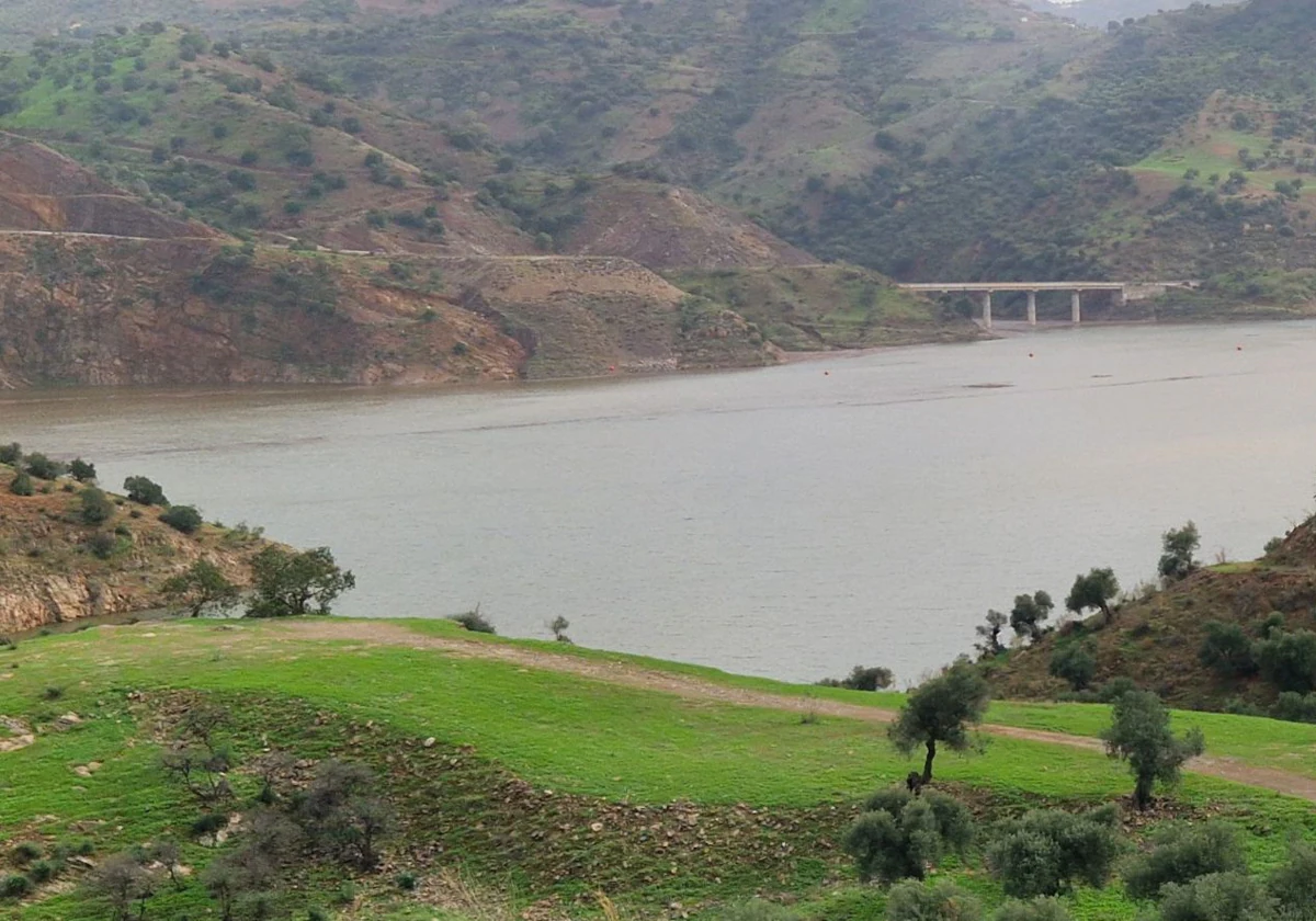
Rainfall this autumn is already above the historical average in Malaga province
Between October and November, 23% of a normal year's rainfall has been collected
Rainfall throughout the province this autumn is already above the historical average in Malaga, figures show. The amount of rain dumped so far has many Malaga residents questioning if the drought is over and while the situation has improved, we cannot become complacent.
According to the official rain gauge in Malaga at the airport, from 1 January to 31 October, it has already rained what is considered a normal amount, while up to September the deficit was 50%. So far this hydrological year (which starts on 1 October and ends on 30 September of the following year) rain is already above normal, the figures show.
Factors such as the high temperature of the water off the coast of Malaga have made these phenomena more dangerous
In October, it is usual to collect 61mm, and this year 131mm, while last Wednesday's downpour left 68mm at the airport. "It's almost normal for the whole month of November (79 l/m2), in just one day," said Aemet director, Jesús Riesco. And this has not been by far the rain gauge with the best data, but it is the one used for statistical purposes in Malaga by Aemet.
So far this autumn, 192mm has been collected, which means that 34% of the 561.5mm that should be rained over the whole water year to be considered "normal" has already fallen. It is certainly not a bad start, much better than in previous years, but there is still a long way to go and several months ahead of those considered "wet", especially December, January, February and March. Following these months, it will be possible to assess whether the drought situation is really starting to abate or not.
Erratic phenomena
Another issue that cannot be ignored is that the abundant rainfall has come hand in hand with two storms. According to the meteorologist, the two have been similar, with similar trajectories, except that the first was more impactful as "it made a round trip". While the second became an isolated cold low (BFA) that turned out to be a surface squall. But in both cases, factors such as the high seawater temperature off the coast of Malaga have made these phenomena more dangerous and have resulted in more rain. In order to alleviate the drought, a train of deep squalls should arrive, with continuous rainfall for several days (as occurred last March and April), which is what allows levels in the reservoirs and aquifers to be boosted.
And as many are also wondering: at least as far as we can see (the middle of next week), there are no significant rainfall predictions on the horizon. On the contrary, what we are seeing at the moment is an anticyclone with a northerly wind, which could bring a cold winter storm to Malaga.

