Weather
The rainfall map for Malaga province: these are the places where it rains the most
SUR analyses the historical series and the 'hydrological year of the dana storms', which has just closed with 34% more water than average; the Atlantic fronts, the Levante and the orography offer some of the key factors

Hydrological years, which start on 1 October and end on 30 September, are what scientists refer to when assessing periods of water scarcity and drought. The 2024-25 hydrological year will be remembered as one of 'danas' and consecutive storms, especially after six years of drought in the province of Malaga. Today, the province's reservoirs are at 46.7%. Although caution is still necessary, residents are celebrating the absence of restrictions.
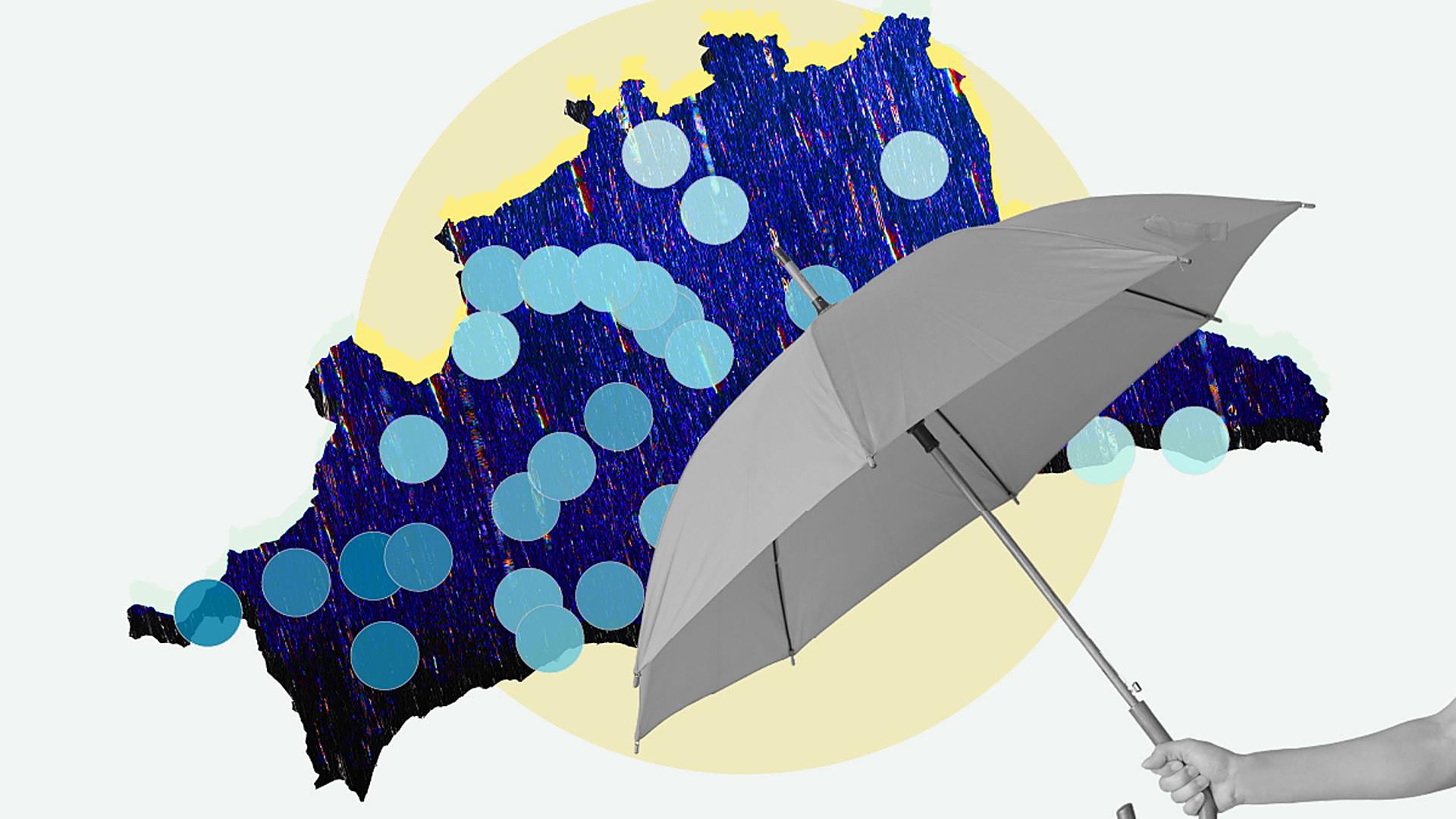
An analysis of the data provided by Hidrosur, a subsidiary of the Junta de Andalucía's department of agriculture provides a very clear map of how rainfall is distributed in the province of Malaga. In general, measuring stations recorded an average of 726mm from 1 October 2024 to 30 September 2025. This is 108% more than in 2023-24 (348mm) and 34% of the historical series (541mm).
The factors
Director of Malaga's Aemet meteorological centre Jesús Riesco explains why the past hydrological year has been so abundant in Malaga province. The whole area of the Serranía, especially the area closest to Cadiz, has received a lot of rainfall from fronts coming in from the Atlantic. That is also one of the reasons why it rains more on the western coast than on the Axarquia coast. There are also other factors in the area around Marbella, such as the high convergence of easterly winds. The added factor in recent months has been the 'dana' (cold drop), which has become part of our everyday vocabulary.
It is often said that Grazalema, in Cadiz, is the rainiest place in Spain. However, that is not quite true. It may be that it rains more on fewer days, but according to Meteored there are places in the Sierra de Gredos and O Candán (Galicia) that double the global volumes.
Orography
Orography, together with winds, leads to an increase in cloud formation. Grazalema collected more than 1,900mm last year. Another relatively nearby town, Sierra de Luna, in Jimena de la Frontera, had more than 1,600mm.
Majada de las Lomas, in Cortes de la Frontera, accumulated 1,229mm, followed by Genal river as it passes through Jubrique, Los Reales (Sierra Bermeja), Guadiaro-Majaceite (also in Cortes de la Frontera) and Pujerra, with 1,000mm.
The next heaviest rainfall was recorded along the Turón river at Ardales (981mm). Ojén, Casarabonela, and Las Golondrinas (Tolox) also exceeded 900mm during the past hydrological year.
All points measured were well above the 2023-24 hydrological year, but not all of them were above the historical average. Colmenar, Aljaima (Cártama) and the Trapiche treatment plant (Vélez) were below the historical average.
The least rainy spots in the province last year were: El Trapiche, with 305mm; Aljaima, 361mm; Colmenar, 399mm; the Palacio de la Tinta 448mm; the Laguna de Fuente de Piedra, 463, and the Guadalhorce river, in Archidona, 489mm.
The historical average
This refers to the 2024-25 period. The historical average, however, doesn't show significant changes in the ranking of rainy spots. Still, the wettest location would now be Los Reales, followed by Pujerra and the two sites in Cortes de la Frontera. At the opposite end, Aljaima, Torrox and Fahala would be the driest.
Although without certainty, there are some expectations when it comes to the hydrological year that has just begun. 'Dana' phenomena are expected to occur again due to the rise of the sea temperature and the increase in evaporation.