A hike in Malaga province that traces the steps of the last bandit of Andalucía
Although the first few metres are quite steep, the route, which passes through the Turón valley where the feared Pasos Largos hid for years before being caught by the Guardia Civil, is not excessively physically demanding

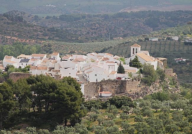
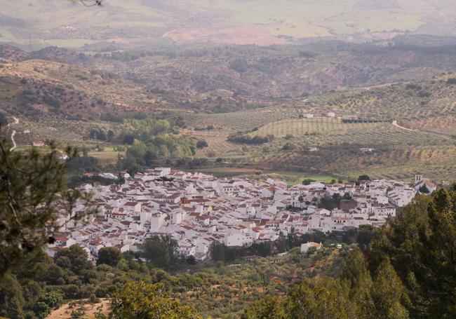
This linear route, which coincides with the GR-243 stage of the Sierra de las Nieves between El Burgo and Yunquera, starts at the Turón riverbed near El Burgo, ending up at one of the best-known mountain enclaves in this natural park.
-
Route data
District: Sierra de las Nieves
Municipality: El Burgo
Difficulty level: Medium. Although the first few metres are quite steep, the route is not excessively physically demanding. The tarmac and dirt track at the start changes to narrow paths through pine woods after a kilometre and a half from the start.
Type of route: Linear
Approximate duration: 2 hours (one way)
Length: 5.9 km (one way).
Minimum altitude: 548 metres
Maximum altitude: 885 metres
Nearby places of interest: Miraflores castle, Encarnación church, Dique reservoir, Turón waterfall, Mirador del Guarda Forestal and puertos del Lobo y de la Mujer.
Zoom
-
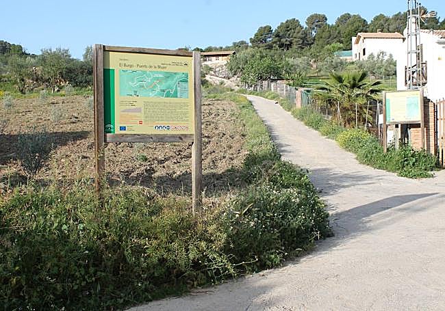
How to get to the starting point
The public footpath begins next to the River Turón, a stone's throw from El Burgo village centre. To get there park in the area around Pasaje de las Lavanderas, then cross the new bridge and take a wide lane that leaves the Turón on the right. After a few metres you will come to the start sign for this route.
-
Route description
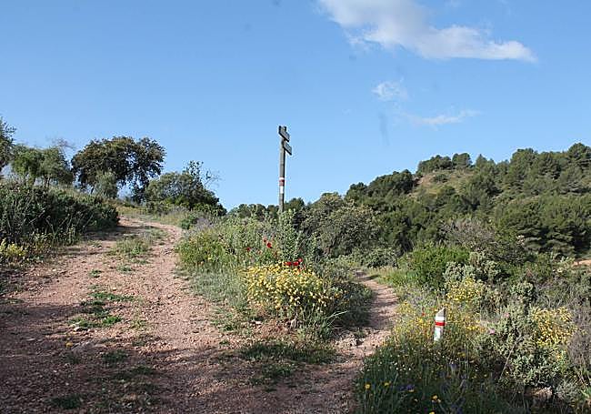
1From Paseo de las Lavanderas, cross the A-366 road near El Burgo's Puente Nuevo (New Bridge) to join what is known as the Carril del Dique, a wide path that accompanies the Turón on this stretch. At this point several paths converge, so you should pay attention to the signs for each one. Once on the track, go upstream (the Turón will be on the right) for a little over twenty metres until you reach the place where the El Burgo-Puerto de la Mujer path is signposted. Bear in mind that this path will coincide completely with the GR-243 stage of the Sierra de las Nieves. It is therefore necessary to pay attention to the latter signpost.
Zoom
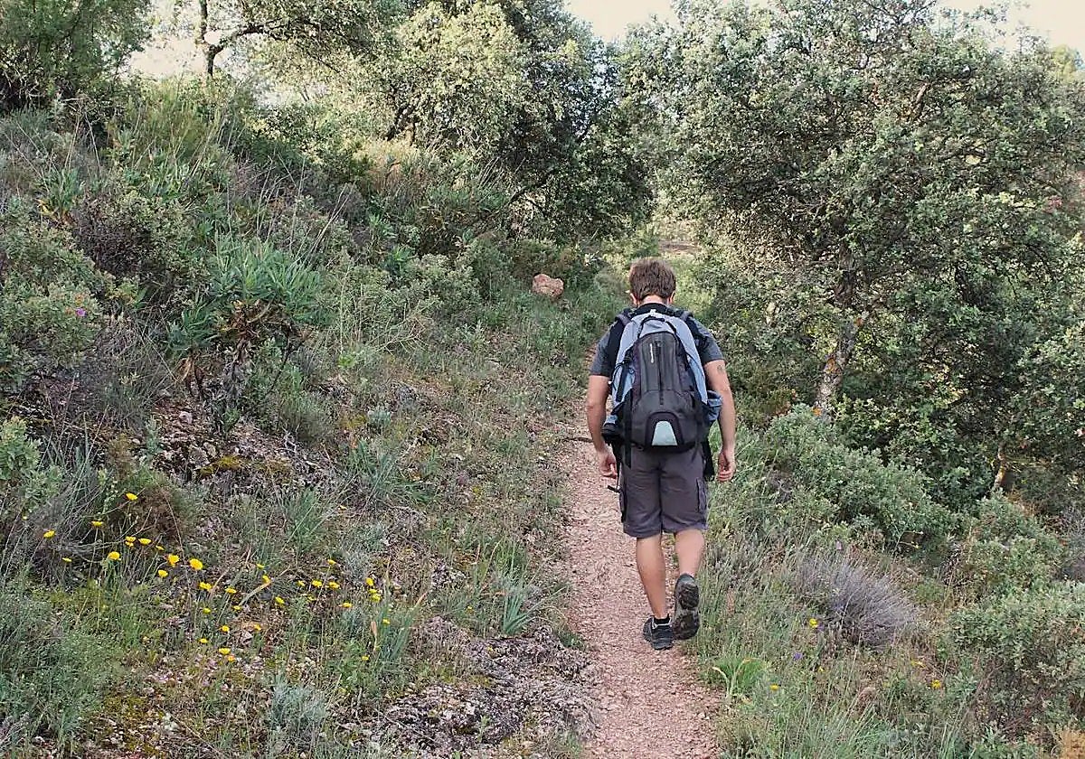
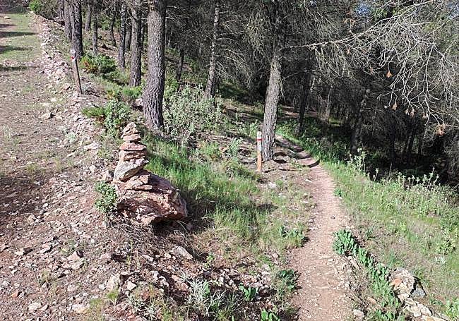
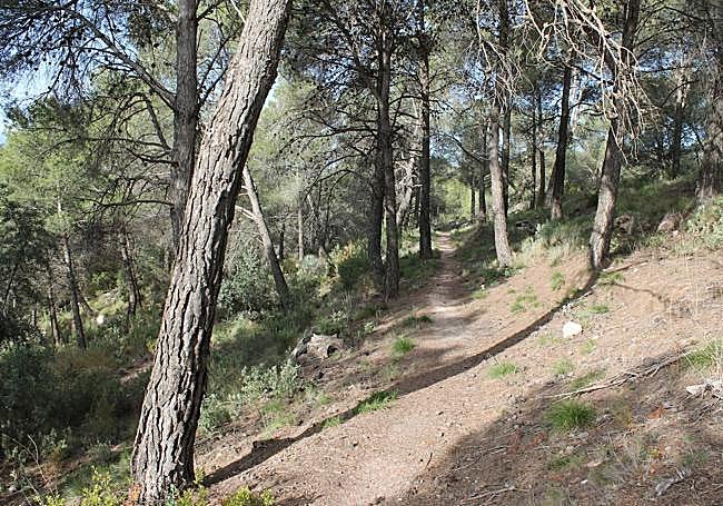
2From the signpost, take a clearly ascending path to the left, which leads completely away from the Turón. This is the start of the most demanding part of the route, with around a 1.5-kilometre climb up to Puerto del Lobo, one of the main milestones of the route as there you leave the wide track for a narrow path. The path starts to climb slightly and then gradually enters a thick pine forest, but the area still allows for some good views of El Burgo through the trees.
Zoom
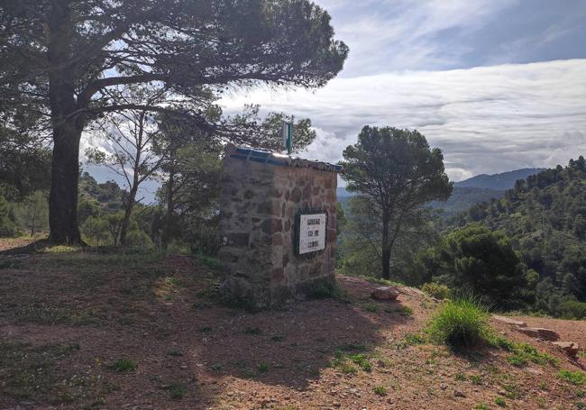
For approximately one kilometre the path will be under the shade of the forest. You will have to be very careful not to stray from the signposted path, which can become partially hidden in some sections. The path allows excellent views of Alto Turón and on the other side of the valley the Mirador del Guarda Forestal, which can be easily spotted thanks to the white sculpture.
Zoom
4After almost four kilometres of walking you will have to cross a firebreak to continue along another narrow path under the shade of the pines. Further on you will also have to cross other firebreaks, alternating between these and the forest. After two kilometres you will reach the spot known as the Puerto de la Mujer. From there you will have excellent views of the surrounding area, including la Blanquilla mountain range, the Lifa valley, the Enamorados crag and the Palancar cliffs.
Both the Puerto de la Mujer pass and the route itself were some of the enclaves through which the feared bandit Pasos Largos passed less than a century ago, a solitary character who used the Turón and Lifa valleys as hideouts until his death at the hands of the Guardia Civil in 1934.
Zoom
5From the Puerto de la Mujer the most recommendable return route, if you are not familiar with the area, is to go back along the same path. However, there is also the possibility of extending this trail to Yunquera or to some of the important landmarks on the way to the town, such as the Cueva del Agua, Platero fountain or Los Sauces recreational area.
Zoom
Flora and fauna
One of the main attractions of this route, which runs through the protected areas of both the Sierra de las Nieves natural park and part of the Sierra de las Nieves national park, is the lush pine forest it passes through. In addition, there is also an abundance of shrubs, such as Mediterranean buckthorn and juniper, as well as aromatic plants such as thyme and rosemary.
Other important species along this route include kermes oak, wild olive, holm oak and cornicabra. In the first few metres you will also see riverside vegetation (next to the Turón), as well as olive trees, almond trees and various allotments.
As for fauna, the odd herd of mountain goats could be spotted in the less dense and elevated part of the route and there are occasional sightings of other mammals such as wild boar and badgers. The woodland is also home to birds including wood pigeons, sparrowhawks and goshawks.
Zoom