Weather
More rain on its way to southern Spain: Aemet warns of 'locally heavy showers accompanied by thunderstorms'
The state weather agency has raised the possibility of rainfall on Wednesday in several provinces of the Andalucía region to 100%

Malaga
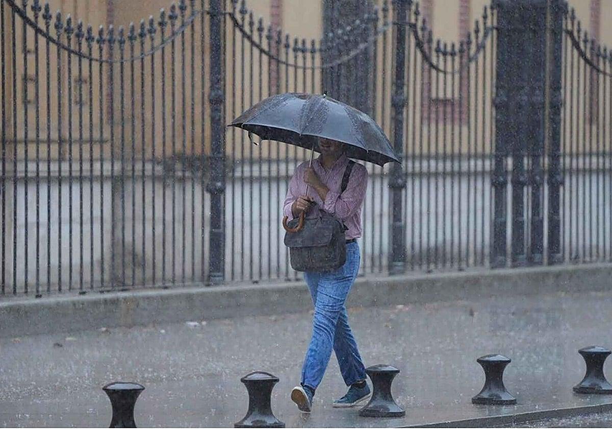
After the weather instability of the last few days, this first week of November will be - in general terms - be a period of transition in Spain, with high pressure tending to rise in latitude and heading inland towards the European continent. However, don't put the umbrellas away, you may need them in the middle of the week. "We have a wet week ahead for most of the country. Several Atlantic fronts will leave locally heavy rains in several regions, where more than 100mm could be recorded", warns Samuel Biener, researcher, climatology disseminator and editor of the specialised weather portal Meteored.
"A frontal system will cross the Spanish mainland from west to east. This phenomenon will be reinforced by a trough at high altitude and by a river of humidity arriving from the Atlantic. The weather maps show heavy rainfall in western Andalucía"
"Models show that the frontal system will cross the Spanish mainland from west to east. This phenomenon will be reinforced by a trough at high altitude and by a river of humidity arriving from the Atlantic. In view of this, the weather maps show heavy rainfall in Galicia, extending to Castilla y León, Extremadura, Cantabrian regions, the western part of Castilla-La Mancha and the west of Andalucía on Wednesday", the expert added.
Related story
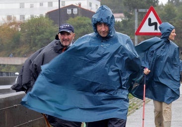
In the middle of the week, then, the showers will return to the Andalusian region of southern Spain. For Wednesday the state weather agency forecast Aemet points to "cloudy skies of high clouds, increasing to overcast, with weak to moderate rainfall that will spread from west to east from noon, more intense in the western half where they can be locally strong and accompanied by storms," said Aemet. Only the far east of the region will be spared the rains for the time being. On the other hand, in municipalities in Malaga, Huelva, Seville, Cordoba and Cadiz, the possibility of further rain and storms is 100%.
Temperatures will remain similar to those of the last few days. Maximum temperatures will range between 23 and 26C in Seville and Granada. Minimum temperatures will be between 12 and 18 degrees in Malaga and Cadiz. The wind will tend towards the south with strong intervals during the afternoon and occasional very strong gusts in the western half of Andalucía.