Weather
Aemet warns of new Atlantic storm bringing 'significant' amounts of rain to these parts of Spain
The state weather agency has also warned of the possibility of thunder, lightning and even hail in some areas of the country this coming week

Virginia López Esplá
Madrid
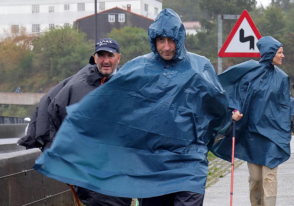
Spain registered some heavy rainfall in the province of Huelva in the Andalucía region which led to flooding and the death of one person. Although stability prevailed over the weekend, a new storm is expected to hit the country in the coming days.
According to the state meteorological agency Aemet, there is a high probability of an Atlantic storm arriving between today (Monday) and 9 November. The fronts linked to this storm are expected to discharge more rain in the west and the north of the country, although there is uncertainty about the precise amount of precipitation.
A more stable Monday
The weather this Monday, 3 November, will be mostly stable. The level of humidity in the Mediterranean areas could bring occasional showers over the islands and the coast of Catalonia, and cannot be ruled out in Valencia, Murcia or Almeria.
From the afternoon onwards, the approaching weather fronts will bring rain to western Galicia. Very strong gusts of northerly winds are also expected in the lower Ebro Valley at first, followed by southerly winds along the Galician coast later in the day.
A lo largo de la semana del 3 al 9 de noviembre es probable que frentes asociados a borrascas atlánticas dejen lluvias, especialmente en el oeste y norte peninsular. Temperaturas superiores a las habituales.
— AEMET (@AEMET_Esp) October 31, 2025
Predicción para las próximas tres semanas 👉https://t.co/lSiT9VyTnD
As for temperatures, maximum temperatures are expected to decrease in the Mediterranean areas and in the west of the Canary Islands. Minimum temperatures will also fall on the Spanish mainland and the Balearic Islands. However, temperatures may still exceed 30C in the Canary Islands.
More rain from Tuesday onwards
The Atlantic front will be fully felt in Cantabria, Asturias, the north-west of Castilla y León and Galicia from Tuesday onwards. There is a high chance that it will bring "significant rainfall, thunderstorms and hail".
More stable weather is expected in the rest of Spain, with low morning clouds in the south-east quadrant and cloudy skies along the Mediterranean coast, with possible rain in the Strait of Gibraltar and occasional showers on the coasts of Catalonia and the Balearic Islands. Clear skies and some intervals with high clouds are expected in the Canary Islands.
Maximum temperatures will increase in the Canary Islands, but there will be little change in the rest of the country. Minimum temperatures may rise over most of the Spanish mainland.