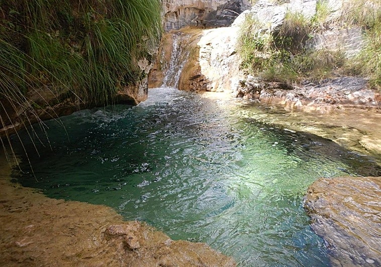
Cebollón: a river hike for the warm weather in Granada province
The river rises on the Granada side of the Sierra de Almijara mountains in the Arenas del Rey and Fornes area and the walk is a good alternative to the popular Chíllar river walk near Nerja
This walk, which is popular in spring and summer, runs through the Granada side of the Sierras de Tejeda, Almijara and Alhama natural park along the River Cebollón. This is a good alternative to the popular Chíllar river route near Nerja which is currently closed to the public.
-
Route data
Area: Alhama de Granada
Municipality: Arenas del Rey and Fornes (Granada)
Difficulty level: Medium. Although the route is not excessively long and there are few climbs, it does run partly along the riverbanks, which can make the path quite difficult. It is also important to wear suitable footwear both for the dirt track and for the riverbed or the riverbank, where there are usually a lot of stones.
Type of route: Linear
Approximate duration: 3 hours (one way)
Length: 5.9 kilometres (one way).
Minimum altitude: 850 metres
Maximum altitude: 965 metres
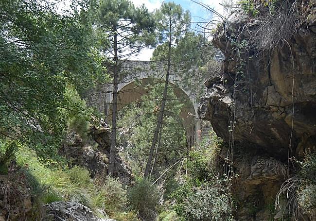
Nearby places of interest: La Resinera, the Berro or Teja fountain, the Dique waterfall and the Monticana bridge.
Zoom

-
How to get to the starting point
To begin this route, head towards the northern part of the Sierras de Tejeda, Almijara and Alhama natural park to the information point at La Resinera on the Granada side, which is in Fornes, but closer by road to Arenas del Rey, which you have to pass to get to the start point. From Malaga you must pass through Alhama de Granada. To get to La Resinera you have to take a track along the GR-3302 road.
-
Route description
1Once you have reached La Resinera information point, leave your vehicle in the parking area. You can get more information about the Cebollón river route and the natural park itself at the facilities located just a few metres away. Both the old chapel and the structure of the old resin factory have been restored and are normally open from Friday to Sunday mornings.
Zoom

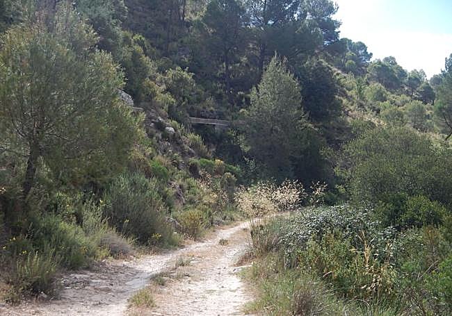
2From La Resinera car park, walk along a dirt track, which after crossing the Cacín riverbed leads to the River Cebollón. Cross it in such a way that you reach a dirt track that runs parallel to the river. This should be to the right of the path for the first few metres.
Zoom

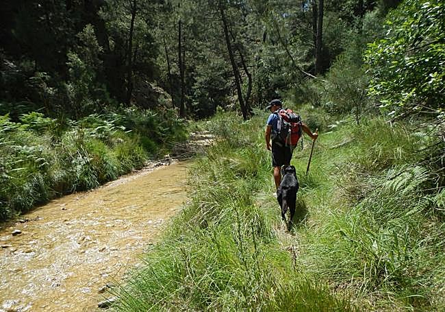
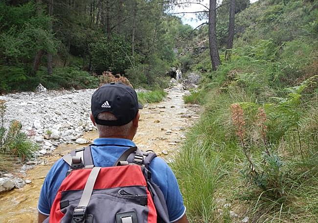
3After passing by the Berro or La Teja fountain, leave the path that runs parallel to the river to look for the riverbed and bank. This is where the most attractive part of the path begins. You will continue climbing upstream, trying, as far as possible, to look for sections that do not involve actually walking in the river.
Zoom

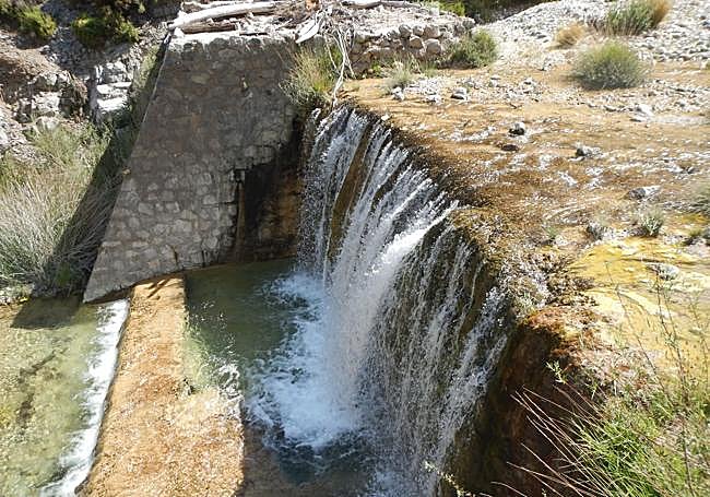
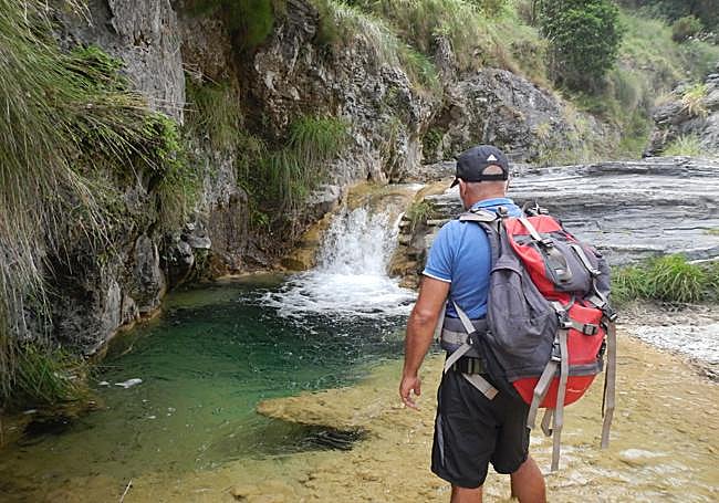
4After a series of spectacular stretches of river where the crystalline waters and geological formations are reminiscent of Malaga rivers in the Sierra de Almijara, such as the Chíllar, the Higuerón or the Torrox (or Patamalara), you reach one of the most important landmarks on this route, the Dique waterfall. You may decide to turn back at this point, although it is also possible to continue upstream to the Monticana bridge. In any case, you should expect the return journey to involve a similar effort to the outward journey.
Zoom

5If you decided to go as far as the Monticana bridge, you should go back the way you came, because if you do not know the area very well, it is not advisable to look for alternative routes that despite running parallel to the river, are actually a long way from it.
Zoom

Flora and fauna
Except for the first few metres, in the area around La Resinera, where there is a forest ecosystem, most of the route is along the banks of the Cebollón, where you can see both flora and fauna linked to a river area including fern, ivy and resin pine, which has historically been linked to this area.
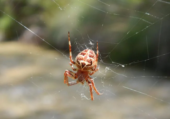
The birdlife is particularly outstanding. Among others, you can see black-winged warblers, black redstarts and blackbirds. Looking up at the sky, you may be lucky enough to spot birds of prey. There are also a lot of reptiles, amphibians, insects and large spiders.
Zoom


