Aemet issues special weather warning for Andalucía: up to 150mm of rain could fall in these areas
An Atlantic storm will bring heavy rain to the region, with four provinces under amber alerts this weekend.
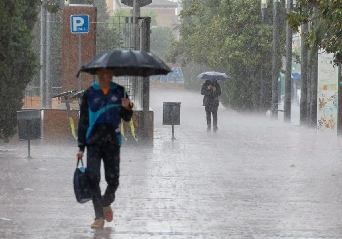
After yesterday's calm - which served as a transition day - this Friday a another storm arrives to the south of Spain. A new Atlantic squall, which will rapidly deepen over the peninsula and then move towards the Gulf of Cadiz, will leave "widespread and abundant rainfall in the west and, to a lesser extent, central Andalucía", warned the state weather agency (Aemet) in a special briefing note that focuses on the western half of the region. The agency has updated its weather outlook and the initial forecast for the coming days in the region has worsened. In total, four provinces will have an amber warning actavated for heavy rain. Huelva was the first to activate this warning, at 11am this Friday. It will be followed, from 8pm, by Cordoba and Seville. Cadiz will be added to this map from the early hours of the morning, from midnight this Friday. All these warnings will be in force until 9pm on Saturday, Spain's national day. In addition, Jaén will remain under a yellow warning that was issued at 12 noon today. In some areas , Aemet expects that accumulated rainfall of up to 150mm could be recorded and warns that there could be "some overflowing of watercourses and flooding".
"This Friday there will be heavy rain and thunderstorms in Andalucía that will spread from the coast towards the interior of the provinces of Huelva, Seville, Cadiz and, finally, Cordoba and, more weakly, Jaen. In addition to the rainfall, which may be intense and persistent, the gusts of wind associated with the storms may be locally strong or very strong," the state agency pointed out.
Which areas will be most affected?
According to Aemet's weather models, in the early hours of Saturday morning it is likely that the downpours will mainly affect the area from the mouth of the Guadalquivir to the Sierra Morena, "with locally heavy and persistent rain that could be accompanied by storms in Huelva, Seville and Cordoba, as well as in areas bordering Cadiz and Jaen".
As the day of the Day of Pilar progresses, Aemet forecasts that rainfall will lose intensity, "although in the afternoon it is likely that new showers and storms will develop in western parts of Andalucía and with less probability in the western areas of Malaga province of Malaga," it added. As for the possible amounts, the state agency does not rule out accumulations exceeding 40-60mm across the board in western Andalucía, except in the area around the Strait of Gibraltar. In the countryside areas of the Guadalquivir valley and nearby areas it is expected to exceed 100mm, and even 150mm locally, according to Aemet.
Rainfall of 100mm and even more is expected in these areas: the Cadiz countryside and coastline; in the Cordoba countryside; in Andévalo and Condado and the Huelva coastline; and in the Seville countryside. These are the heaviest rains that will occur in the region, according to the Aemet forecast on its website.
In view of this forecast, 112 Andalucía emergency coordination centre has called for extreme caution to reduce the risks associated with this meteorological emergency. Among its recommendations, it reminds of the importance of:
- Checking downspouts and gutters to confirm that they are clean for when rainfall arrives.
- Removing flower pots, posters, clotheslines, tables, chairs, etc. from terraces and balconies.
- Avoiding road travel. If you must travel, find out about road conditions.
- Exercising extreme caution when driving, reduce speed and increase the safety distance.
- In the event of heavy flooding, be prepared to leave the vehicle immediately.
- Remain calm and follow information from official sources on social networks and in the media.
Forecast for Sunday
What about Sunday? Looking ahead to the last day of the week, Aemet has no active warnings in place at the moment in any Andalusian province. Its forecast points to "very cloudy skies with weak to moderate rainfall, more likely and intense in the area of the Strait of Gibraltar and on the Atlantic coast, where it is not ruled out that they will be accompanied by storms during the first half of the day. From midday onwards, some clearings will open up", according to the briefing note. Aemet added: "It is likely that the Andalusian region will continue to be affected by the influence of this squall, which will continue to move towards the Gulf of Cadiz. Widespread rainfall may occur in almost all of Andalucía and Ceuta, but with less intensity and duration, so that the episode of adverse weather could be considered over."

