Weather
Aemet activates new yellow warnings in Andalucía with more rain and lower temperatures on the way
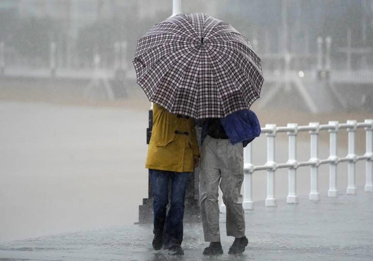
As things currently stand, the Easter holiday period in Spain will be marked by unstable weather due to the passage of fronts associated with Atlantic storms and the arrival of cold air in the upper layers of the atmosphere

Malaga
The recent storms in Spain are not going to go away on holiday for Easter in Spain. The weather will continue to be unsettled at the halfway point of April, with instability once again taking centre stage. This Monday, Andalucía, Aragon, Asturias, the Balearic Islands, Cantabria, Catalonia, Galicia, Navarre and the Basque Country are under a yellow warning for waves, rain and storms, according to the state meteorological Agency (Aemet).
In the case of the Andalucía region, Aemet has activated weather warnings - which will be in force from 2pm - in Almeria and Granada provinces for coastal phenomena. Westerly winds of 50 to 60 km/h (force 7) and waves of 3 metres are expected. On Tuesday the yellow warning will be reactivated, which will be extended to the Strait of Cadiz between 2pm and 8pm. The strong gusts will continue throughout the day on Holy Wednesday along the coast of Almería and Granada, with warnings until the early hours of the morning.
Wind... and rain in Spain. "In the next few hours the storms will be repeated in areas of the east of the mainland and the Balearic Islands, they will be the last remnants of the storms that has just passed. Locally they will be intense and will be accompanied by hail. To the west, a front associated with a trough will leave precipitation on the Atlantic slope, with occasional storms that may dump heavy rain in Galicia and around the Gulf of Cadiz", warns Samuel Biener, researcher and disseminator of climatology and editor of the specialist weather portal. Meteored. Meanwhile, for Tuesday, Aemet forecasts for Andalucía "cloudy skies with occasional showers, which may be accompanied by thunderstorms inland in the afternoon, less likely on the Mediterranean coast". "Be on the lookout for post-frontal showers that may occur in the afternoon anywhere in the province, some models do not rule them out on the coast of Malaga", added José Luis Ecudero in his SUR blog 'Tormentas y Rayos' . Between 12 noon and 6pm Aemet sets the probability of umbrellas being required in the region at more than 90% in most municipalities.
In addition, a "generalised decrease" in temperatures is forecast, which will not exceed 20C in places such as Seville and Almeria, where the highest temperatures will be recorded. The minimum temperatures will range from 4 degrees in Granada to 13 degrees in Malaga and Cadiz. "Another change that we are going to notice during the first stages of the week is that the wind will increase at the same time as the temperatures drop, producing a small, almost wintry break in some areas," Mario Picazo told Eltiempo.es.
Between Tuesday and Holy Wednesday a mass of polar air will arrive, which will cause a marked drop in temperatures, which will also be almost generalised. "Showers will increase over most of the Peninsula and also in the Balearic Islands, locally thundery. They may be more intense in Galicia, Andalusia, the northeast and the Balearic archipelago. We are talking about a situation of irregular showers", said Biener. For Wednesday, Aemet expects "cloudy skies without ruling out weak and scattered rainfall, more likely and intense from the afternoon" in the region.
Atlantic storms and cold air
As things stand, Easter in Spain will be marked by unstable weather due to the passage of fronts associated with Atlantic storms and the arrival of cold air in the upper layers of the atmosphere, which will give rise to widespread rain and showers widely distributed, more frequent on Monday and Tuesday and, after a brief lull, will intensify again at the weekend, according to the forecast of the spokesperson for Aemet, Rubén del Campo.
Specifically, after a rainy start to the week, there will be a "somewhat calmer" period in some areas of the country between Wednesday and Friday, although the final stretch of the week could again be rainy in large parts of the country.
Maundy Thursday will be a day of truce. The only exception will be in Galicia and the Cantabrian regions, while in the rest of the country there will be cloudy intervals with some showers in inland areas. Once again, there will be frost at dawn in northern areas, as well as in central areas.
Although uncertainty is high for Good Friday, the approach of a new storm could bring rain to the north, west and centre of the peninsula. In principle, rainfall on Saturday would be more widespread. Del Campo has specified that showers could occur in large areas of the Spanish mainland, while on Sunday the greatest probabilities would be in the north, east and Balearic Islands.