Tropical storm Danielle forms in the North Atlantic, but will it affect Spain?
“It has strengthened quickly and will continue to do so in the coming hours,” the Spanish weather agency Aemet has warned, while offering some reassuring words
Almudena Nogués
Malaga
It has already been given a name: Danielle. And although it has only just been ‘born’ it has featured in thousands of headlines. Meteorologists are keeping a close eye on this tropical storm which has formed at an unusual latitude in the Atlantic Ocean and is threatening to become a hurricane.
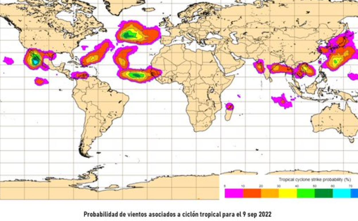
It is a very unusual tropical cyclone west of the Azores, known as Tropical Depression 5 in the North Atlantic, whose progress is worrying a number of countries although for the moment it is not posing a risk to populated areas, according to the USA’s National Hurricane Center.
What is odd about it? The fact that it is being generated so far to the north, much more so when compared with other tropical storms.
“Tropical storm Danielle has strengthened quickly and will continue to do so in the coming hours, as it has encountered favourable atmospheric conditions and very warm waters, despite having formed much further north than usual. It will be the first hurricane of the season,” said sources at the Spanish weather agency Aemet.
Could it affect Spain
The question in many people’s minds is whether it could affect this country. So far, the message from Aemet has been reassuring:
“For the next five days it will stay to the west or north-east of the Azores. After that, but weaker, it might come closer to Europe, but the chances of it affecting Spain are very low, less than 10%. What it could do is create bad sea conditions in this area,” they have said.
Nevertheless, tropical cyclones are complex systems with their own dynamics and subject to great uncertainty, given their possible interactions with other dynamic structures of the atmosphere.
What makes tropical storm – or probable hurricane - Danielle exceptional is that it has formed in an unusual area, at 40º latitude north, through which many hurricanes and tropical storms have passed to reintegrate into general circulation, some of which have even reached the Spanish peninsula as post-tropical storms. It is this rare starting point that has most caught the attention of the meteorologists.
Durante los próximos cinco días permanecerá al oeste o nordeste de Azores. Después, debilitado, quizás se acerque más a Europa, pero las probabilidades de que afecte a España son muy bajas, inferiores al 10 %. Podría, eso sí, originar mal estado de la mar en nuestro entorno. pic.twitter.com/p3EhfiVALc
AEMET (@AEMET_Esp) September 2, 2022