Is the fourth heatwave of summer on the way in Spain?
State weather agency Aemet forecasts temperatures of up to 15C above normal, and hot nights when the mercury won't drop below 25 degrees in the coming days
Europa Press
Madrid
Friday, 18 August 2023, 08:07
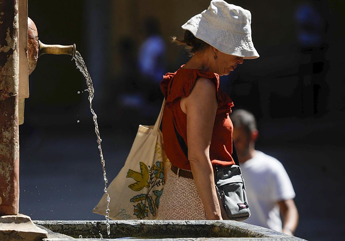
Temperatures will rise across the board this weekend in mainland Spain and the Balearic Islands with values between 5C and 10C above normal in most areas, even reaching 15 degrees above normal in the north of the country. The new hot spell is expected to last from this Sunday until Tuesday, according to the spokespserson for the state meteorological agency (Aemet), Rubén del Campo, who does not rule out that this will be the fourth heatwave of this summer in Spain.
Therefore, during this period the temperature will exceed 35C in a large part of Spain and the Balearic Islands, and tropical nights of over 20 degrees will also affect many areas of the country, although inland areas in the centre and south of the mainland and the Mediterranean coast will have hot nights of over 25C, which, according to the spokesperson, will mean three days with "very high" maximum and minimum temperatures for this time of the year.
The maximum temperatures will reach 40C in the valleys of the Ebro, Tagus, Guadiana, Guadalquivir and other areas, and although on the Mediterranean coast the values will not be as high, the feeling of hot weather will be "intense" due to the high relative humidity.
The heat will begin to intensify this Friday in the northern and eastern third of the mainland, and will spread to most of the country during the weekend due to the arrival of a mass of "very warm" air along with high pressure area over Spain, which could also arrive laden with dust in suspension (calima), which could worsen the air quality.
For all these reasons, Aemet does not rule out this hot spell being the fourth heatwave of this summer, while warning of the "extreme" risk of wildfires in view of the low rainfall, high temperatures and dryness of the environment.
Temperatures will start to rise this Friday in the Mediterranean area and the Cantabrian Sea, especially in the latter, where temperatures will be between 6C and 8C higher than the previous day. For example, cities such as Bilbao, Logroño, Pamplona, Cordoba, Granada and Murcia, among others, will see the mercury reach around 38 degrees and even 40C in Zaragoza.
Rainfall
However, the arrival of a front in Galicia today will leave "abundant" cloudiness and "persistent" rainfall in the west of the region, rains that could accumulate 40mm in just 12 hours in some areas.
On the other hand, temperatures will rise in general throughout the country, so little cloud is expected despite the fact that on Saturday it will continue to rain in Galicia and more lightly in Asturias, as well as some thunderstorms in the Pyrenees in the afternoon.
Thermometers will register between 5C and 10C above normal for the season in the northern, eastern and southern thirds of the mainland and the Balearic Islands with a maximum of more than 35 degrees on Saturday, and 40C in parts of the Guadalquivir, the interior of the Murcia region and in some areas of southern Andalucía and the Ebro Valley.
Once again, the temperature rise will continue on Sunday, when temperatures will exceed 35C in large areas of the mainland and the Balearic Islands, and around 40C in the Ebro, Guadiana and Guadalquivir valleys, in some parts of Andalucía.
Tropical nights
Temperatures will be between 10C and 15C higher than normal for this time of year in the north, and between 5C and 10C higher in most of the country. In addition to this situation, there will be tropical nights with minimum temperatures of over 20C in many areas of the east, centre and south of the mainland and the Balearic Islands, while hot nights of over 25ºC will predominate in coastal areas of the Mediterranean and the south of the country.
Instability from next Wednesday
Temperatures will continue to rise on Monday, while on Tuesday they will stabilise with the exception of the Cantabrian Sea, where they will continue to rise. Therefore, the Aemet spokesperson warned that these will be "very hot" days with daytime values between 5C and 10C above normal throughout the country and between 10C and 15C more in several areas of the northern third.
In addition, the temperature will generally exceed 35C, except in coastal and mountain areas, and values will range between 38C and 40C in low areas of the northeast, centre and south of the mainland.
Nights will also be very warm, with minimum temperatures of 20C in most of the country, while they will not drop below 25 degrees in the Mediterranean coast areas and some inland locations in the east and south of the mainland.
The drop in temperatures will begin next Wednesday, which will be accompanied by an increase in instability with storms whose extent is yet to be determined, according to the spokesperson.
On the other hand, in the Canary Islands temperatures will also rise throughout the end of the week, in addition to the arrival of dust in suspension in "moderate" winds that will blow from the northeast in coastal areas and from the east in high areas.
Generally speaking, the skies in the archipelago will be slightly cloudy with some cloudy intervals and maximum temperatures could exceed 34C in areas of Lanzarote, Fuerteventura and midland areas of the rest of the islands, temperatures that will continue to rise during the beginning of next week.