Weather
Spain's meteorological agency warns that new cold front threatens to bring rain and snow

Despite a relative stabilisation of the weather at the start of the last weekend of November, a new cold front will bring rain and even snow to many parts of Spain. This is what the state meteorological agency (Aemet) warns in its forecast, which anticipates that the next few days will be marked by precipitation and a sharp drop in temperatures.
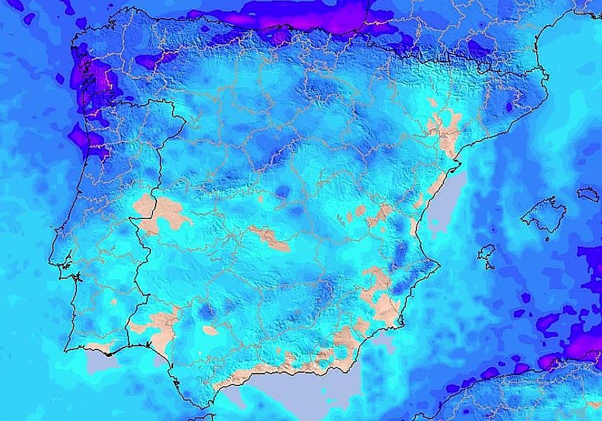
The passage of this cold front on Friday will leave heavy showers over a large part of the country. These conditions will move from the west to the east, until reaching the Mediterranean. Rainfall will reach many parts of Spain, including the north, the eastern provinces and the Balearic Islands.
We will also see a sharp drop in temperatures, with weak frosts in some places, moderate in the Pyrenees. This sudden change will bring snow to lower altitudes and some mountain ranges across the country.
Which parts of Spain will the new rain front hit?
According to the Aemet forecast, stable conditions and good weather are expected in most of mainland Spain. The partly cloudy and clear skies will give way to more unstable conditions and rainfall on Saturday and Sunday. The west of Galicia might experience some occasional and light showers throughout the day on Friday.
The passage of the front on Saturday will leave weak showers early in the day and heavier and more persistent rainfall in Galicia and other western regions. As for the rest of Spain, these areas will have to wait a bit for the rain to come. The centre and the east of mainland Spain, as well as the Balearic Islands, will enjoy generally stable weather throughout Saturday, with partly cloudy skies and some weak precipitation in the north and southern plateau.
From Sunday onwards, the arrival of a new cold front will start to move these precipitations towards the east of mainland Spain, gradually reaching the Mediterranean. We will see precipitation in Valencia, Catalonia and Murcia, as well as the Balearic Islands. On Sunday afternoon, discharges will persist "in the archipelago and the Catalan coast", even "with occasional thunderstorms".
There will be less instability in the west, where the high pressure of recent days is expected to prevail again, leaving overcast skies, but hardly any precipitation. Even so, showers could also occur in the north of mainland Spain and eastern Andalucía.
Temperature changes: from a slight rise in thermometers to light frost and snow in several areas
According to Aemet, contrasting temperatures will compete over the weekend, with constant changes. Maximum temperatures are expected to slightly rise along the Mediterranean coast, in the Balearic Islands and along eastern Cantabria on Friday. A drop will be experienced in the rest of Spain, especially in the southern plateau and the mountainous areas of the northern plateau. Weak frosts are expected in mountain areas in the northern half and the south-east, while moderate frosts can be seen in the Pyrenees.
More parts of mainland Spain will see frosts with the arrival of the cold front on Sunday. Maximum temperatures will start to drop throughout most of the country, including the Balearic Islands. Values will only rise along the south-east coast, in depressions in the north-east and in the southern plateau.
With the passage of this cold front, we will also see snow at altitudes above 1000-1200 metres in the north and above 1600-1800 metres in the south-east.