Weather forecast
Storm Bernard to remain over Spain and put 18 provinces on alert on Monday
The affected areas in nine regions will be at risk (yellow) or significant risk (amber) from wind, rain or rough seas
Europa Press
Malaga
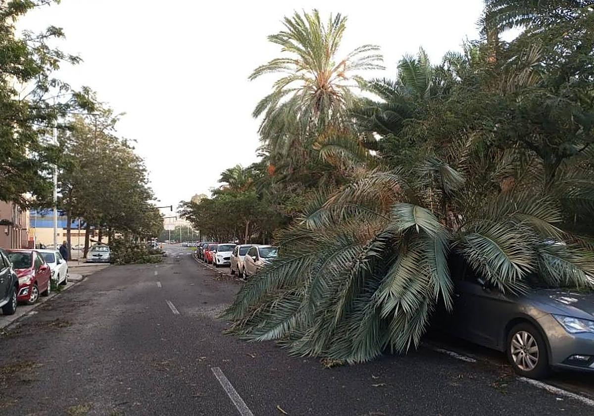
Storm Bernard will continue to affect the Spanish mainland this Monday, 23 October, and will put 18 provinces in nine regions at risk (yellow) or at significant risk (orange) of wind, rain and rough seas, according to the forecast from Spain's state weather agency (Aemet).
🔴 ÚLTIMA HORA
— Javier Benitez (@javiebenitez) October 22, 2023
El viento está causando estragos en la provincia de Cádiz. Hay muchas caídas de grandes árboles y las autoridades recomiendan no salir de casa.
Más información en @CSurNoticias, @CanalSurRadio y @RAInformacion
Esto es #Jerez 👇🏼 pic.twitter.com/3wbF52KBXQ
During the day, a new front is expected to cross the mainland from west to east, leaving several points with heavy rainfall as it passes across Spain. The rain will particularly affect Huesca, Zaragoza, Ávila, Soria, Guadalajara, Toledo, Lérida and Madrid, which will be at risk from accumulations of up to 20mm in an hour.
Strong winds will also put Huesca, Teruel, Zaragoza, Mallorca, Avila, Burgos, Segovia, Soria, Albacete, Ciudad Real, Cuenca, Guadalajara, Toledo, Madrid, Navarra and La Rioja on a yellow warning. Meanwhile, Lérida will be at significant risk (amber) from this phenomenon due to gusts of close to 100 km/h. Rough seas will cause the yellow alert to be activated in Mallorca and Cadiz (Andalucía).

In general, Aemet forecasts cloudy or overcast skies throughout most of the country, as well as early morning rainfall around the Strait of Gibraltar and the northern half of the mainland, with the probability of heavy rainfall in the Pyrenees, especially in Aragon, where it will also be persistent, the Central System and the eastern Cantabrian Sea.
This rain will gradually ease, except in the Pyrenees and in the southwest, where showers will move into other areas of western Andalusia, with the probability of heavy showers in Cadiz and surrounding areas.
Rain is also expected to persist in Galicia and Asturias due to the entry of the new front, being unlikely to affect the Levante.
Snow levels will be above 2,400 metres in the Pyrenees and 2,000 metres, dropping to 1,600 metres in the Cantabrian Mountains. In the Balearic Islands, there will be intervals of high clouds with a tendency to increase cloudiness, without some showers with thunderstorms being ruled out at the end of the day.
In the Canary Islands, cloudy skies or with cloudy intervals and scattered rainfall, more likely in the north of the islands, are possible at the start of the day and in higher inland areas in the afternoon.
Thermometers rise
Maximum temperatures will increase, even significantly, in the eastern third of the Iberian Peninsula and the Balearic Islands, dropping in Andalucía and the northwest quarter of the country. Minimum temperatures will increase in the eastern half of the mainland and the Balearic Islands, with decreases in the west of the mainland and the eastern Canary Islands.
Winds will be westerly in the Cantabrian Sea, the Strait of Gibraltar and Alboran with some strong intervals, and predominantly southerly and south-westerly winds in the rest of the mainland and the Balearic Islands, with strong intervals on the Levante coast, very strong gusts in mountain areas in the centre and northwest quadrant of the mainland, and tending to ease off throughout the day.