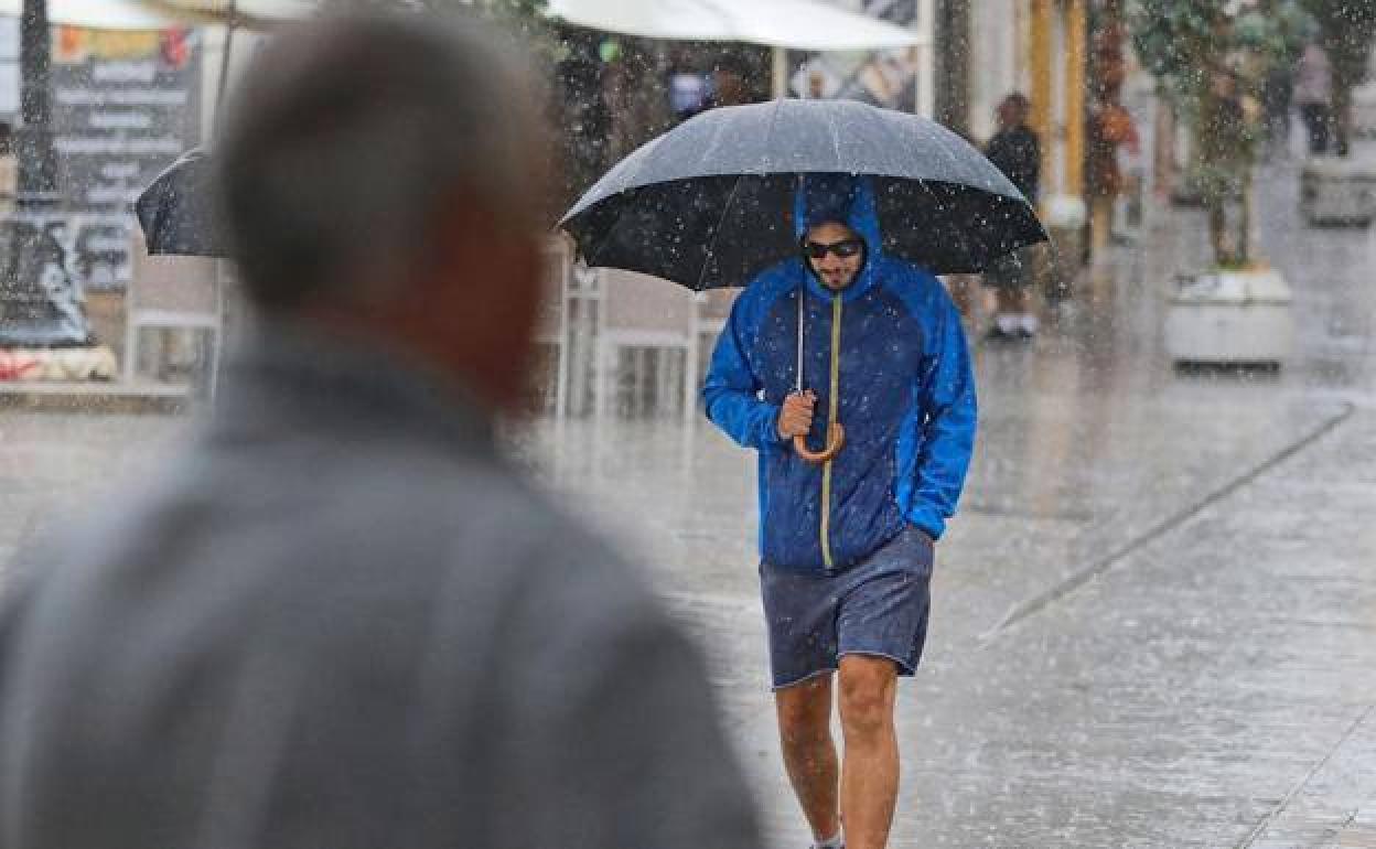
Storm Armand approaches Spain, bringing a change to the weather in many areas and "plentiful" rain
State weather agency Aemet estimates that between now and Monday night or Tuesday morning up to 300mm of rain could fall in some areas, although in the Mediterranean region it is possible that there will be very little or even none at all
SUR
MALAGA.
Wednesday, 19 October 2022, 17:55
Storm Armand, the first major storm of the winter season, will bring an important change and “plentiful” rain during the coming week, especially on the Atlantic coast, according to the Spanish weather agency Aemet.
Spokesman Rubén del Campo said Armand is currently sending south and south-westerly winds towards Spain and causing temperatures to drop. It will bring rain to most of the western half and the centre of the country and also to the southern face of the Pyrenees.
Aemet estimates that between now and Monday night or Tuesday morning up to 300mm of rain could fall in parts of the Central System, especially in the north of Extremadura, the south of Castilla y León and the west and south of Galicia.
Other areas close to those and in parts of western Andalucía can expect around 100mm over the next week. Elsewhere, there could be between 20 and 50 mm, although not much rain will fall in Cantabria, Mediterranean areas or in the Balearic Islands.
“The rain will be very welcome in all the areas which have been in a drought situation since the end of last winter,” Del Campo said.
Temperatures more like normal
With regard to temperatures, Aemet predicts that at night they will generally be high for this time of year, while those in the day will be more normal or even slightly lower than usual in the centre and west of the peninsula, but higher in eastern Cantabria, the eastern side of the country and the Balearics.
Between Thursday and Friday the storm will push closer to the peninsula and will then head towards the British Isles. At the weekend a new storm is expected, bringing more rain to the western half and centre of the country. Once again the rain will be heaviest in the west and in southern Galicia, the Cantabrian mountains and the Central System.